Uphill
649m
Length
9km
Duration
4h30min
Elev gain
649m
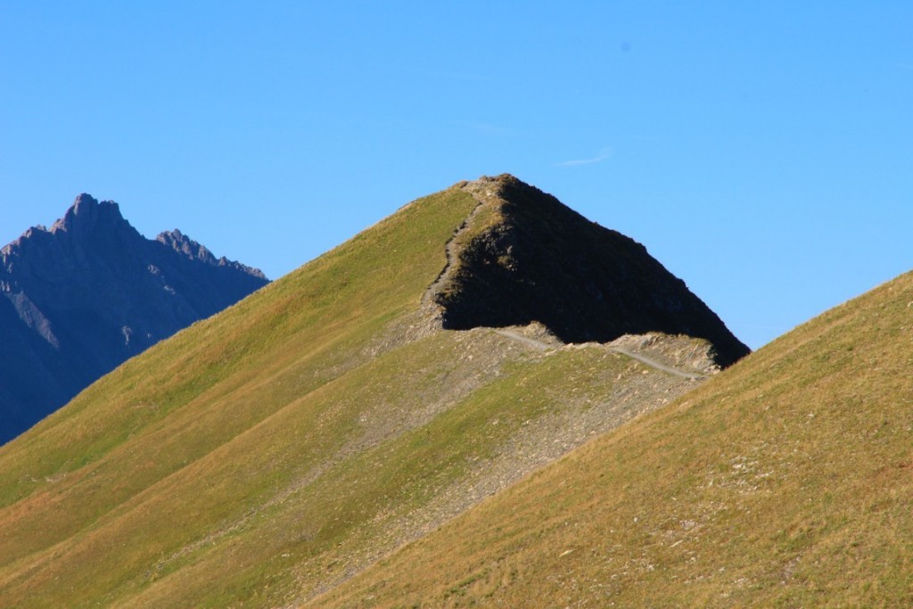
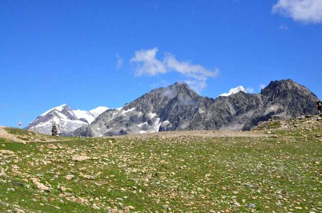
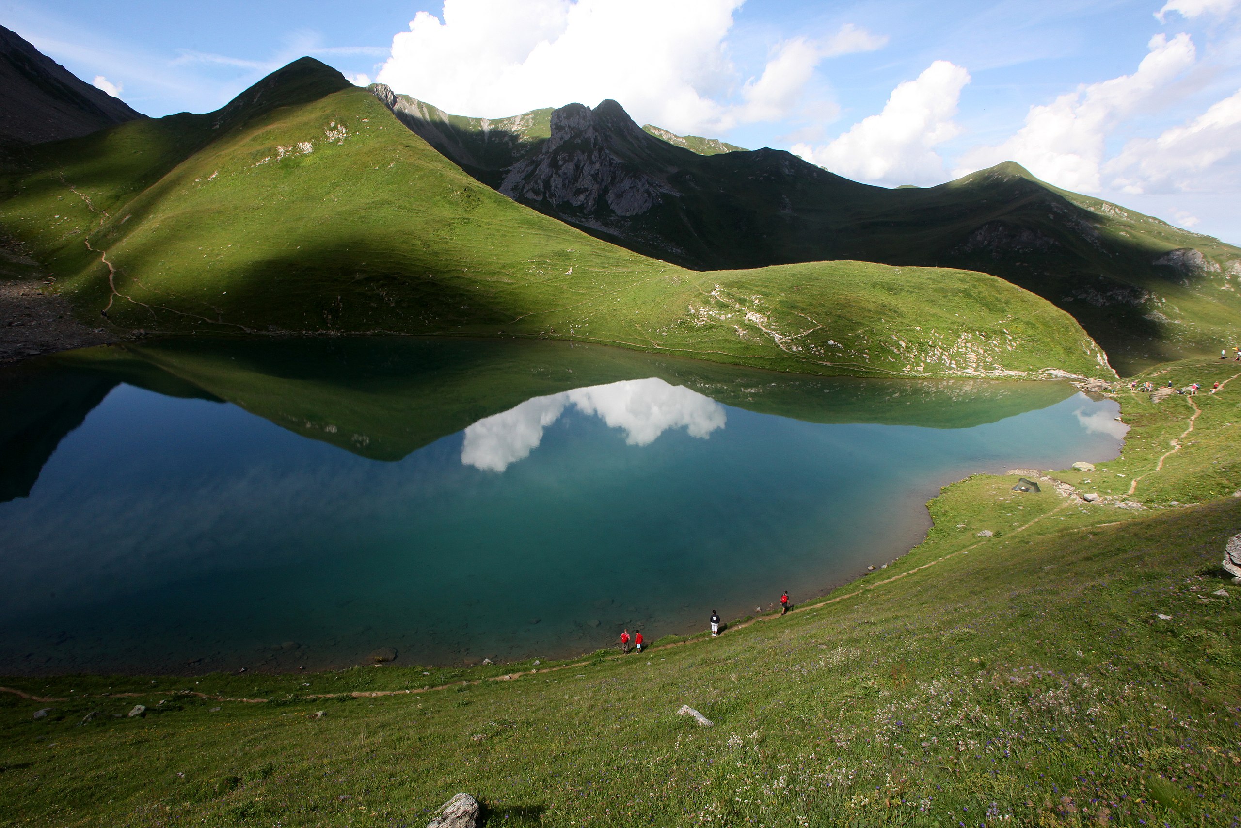
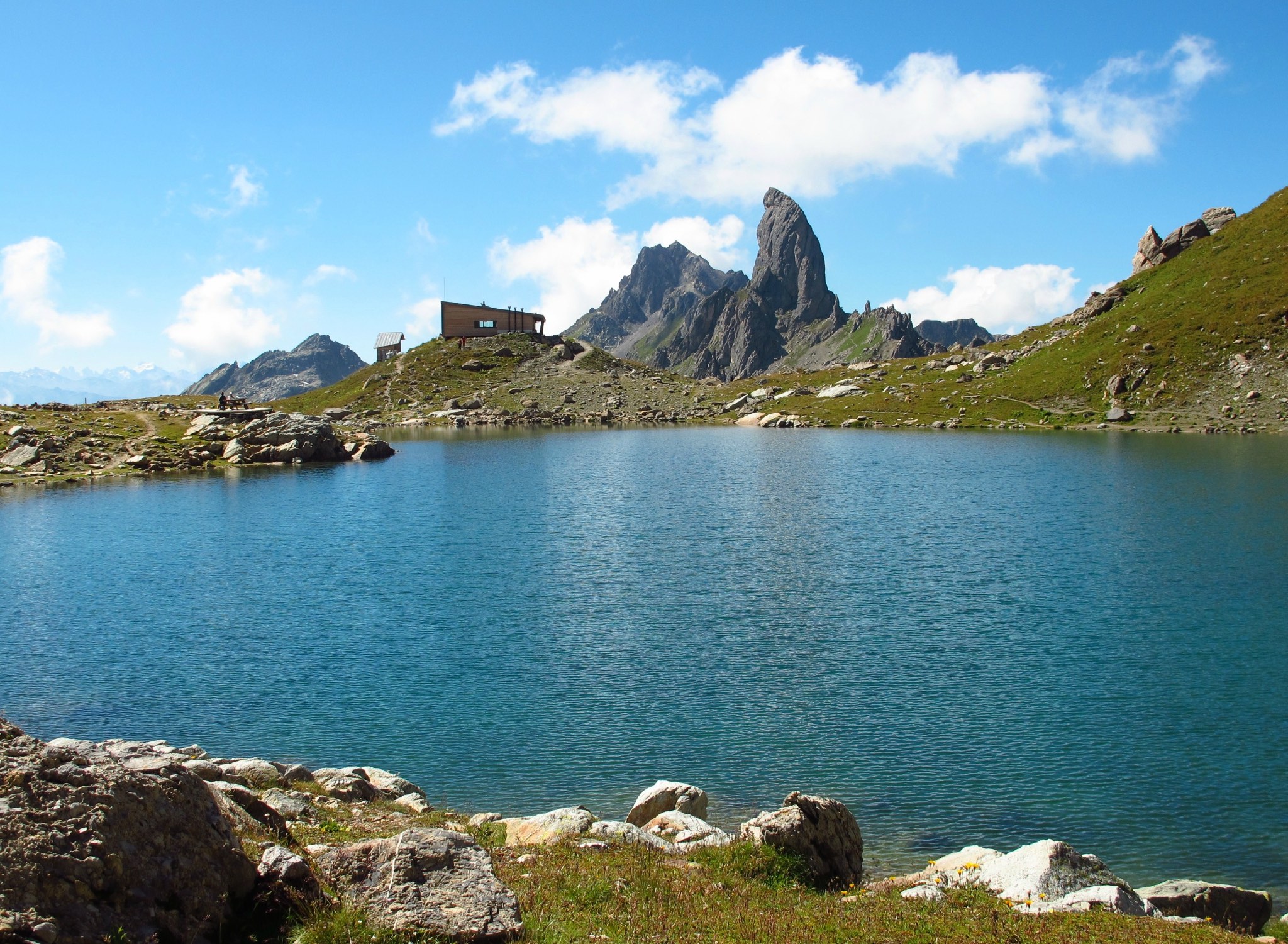
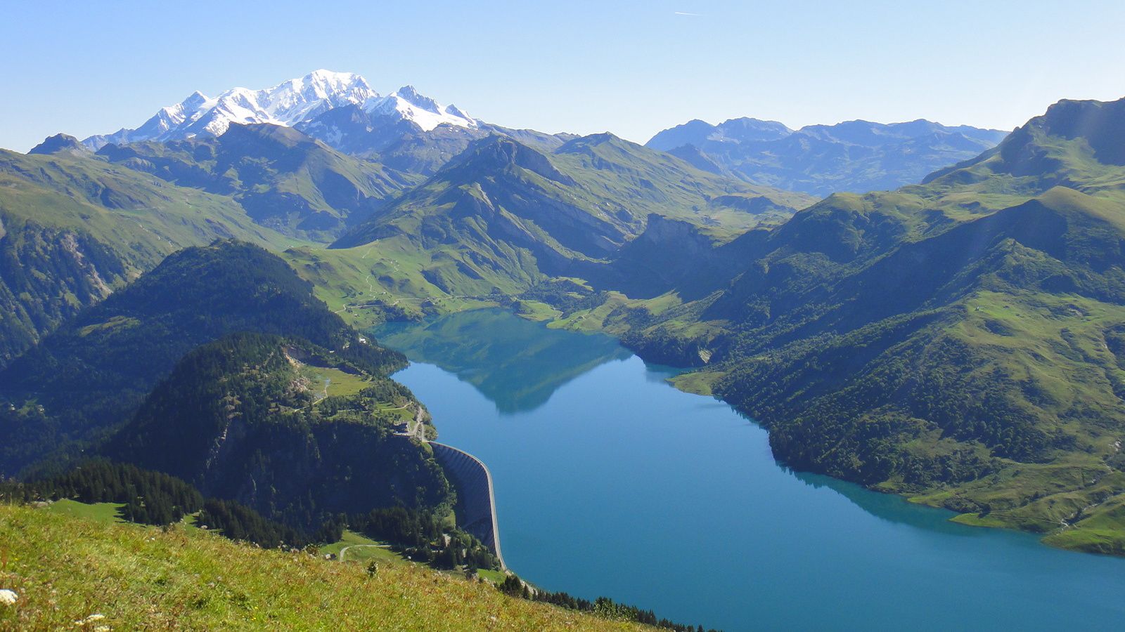
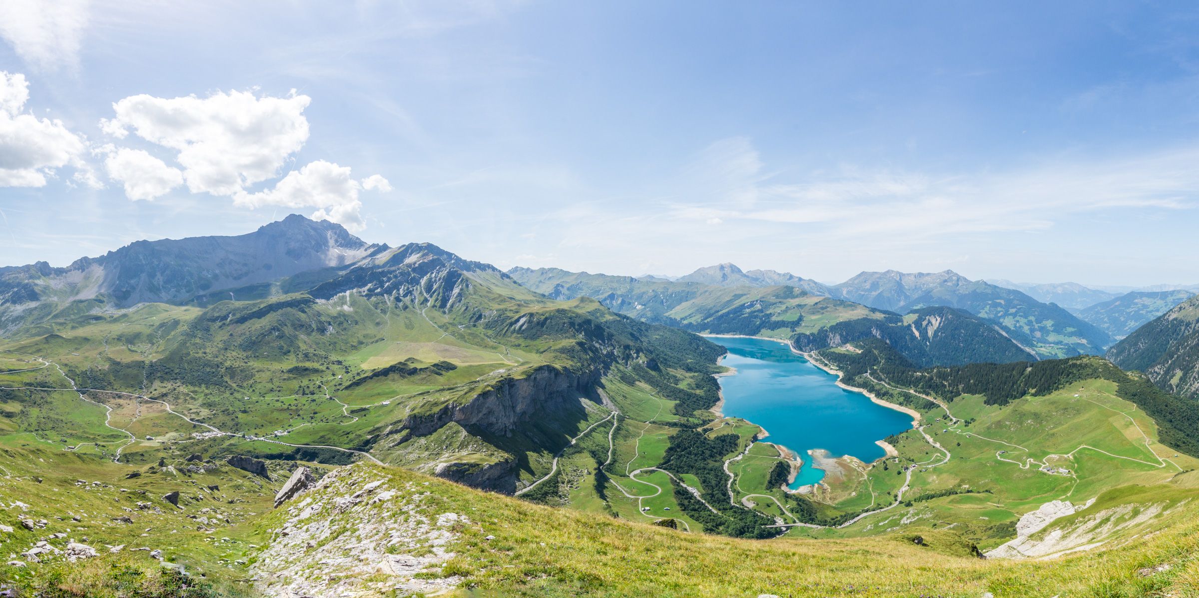
Starting from the Plan de la Lai refuge, this path rises to the Rocher du Vent, a curious summit in two parts separated by a small canyon. The view of the Gittaz and Roselend lakes is spectacular.

Already more than 200,000 users!
Uphill
649m
Highest point
2441m
Downhill
649m
Lowest point
1809m
Route type
Loop
Download the map on your smartphone to save battery and rest assured to always keep access to the route, even without signal.
Includes IGN France and Swisstopo.
I indicate whether dogs are allowed or prohibited on this trail
From June to September
0 ratings
Also enjoy:

Already more than 200,000 users!