Uphill
131m
France > Auvergne-Rhône-Alpes > Ardèche > Monts d'Ardèche Regional Natural Park
Length
4km
Duration
1h30min
Elev gain
131m
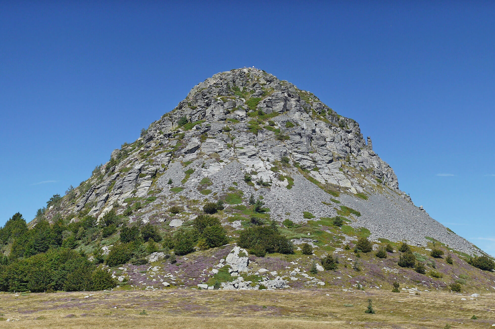
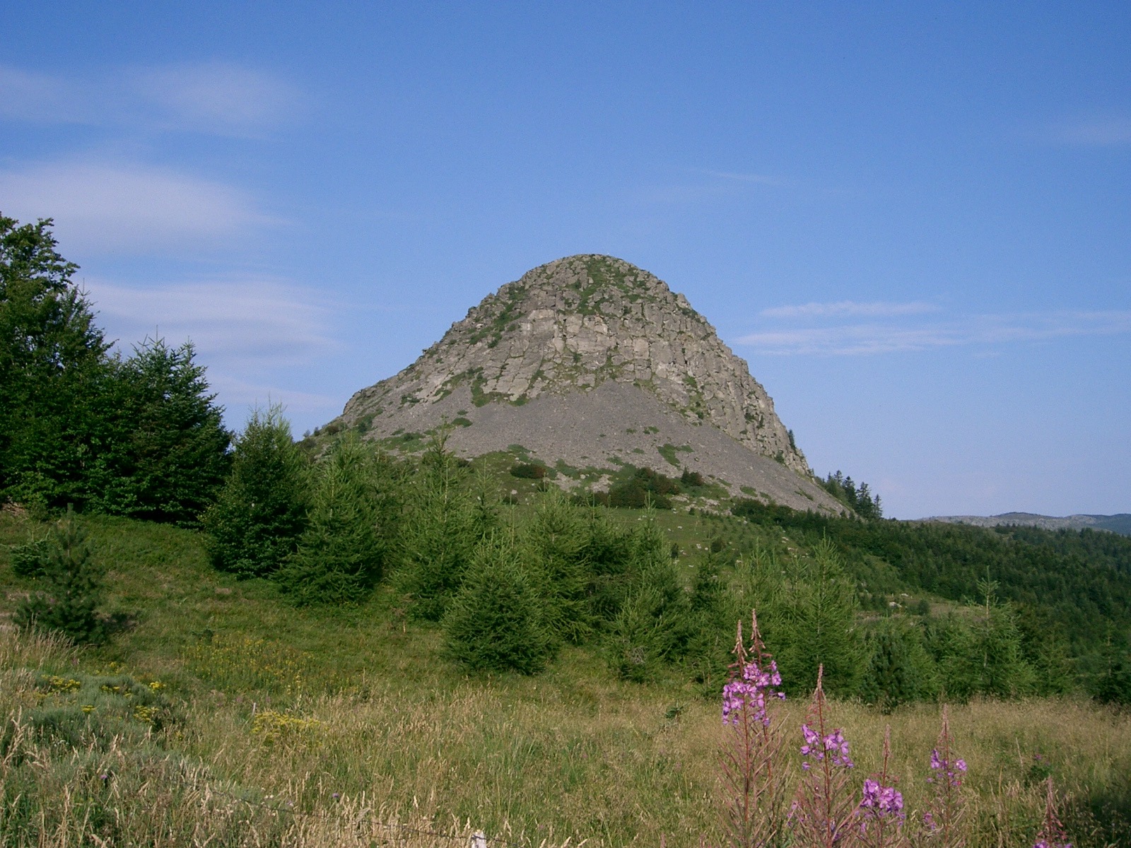
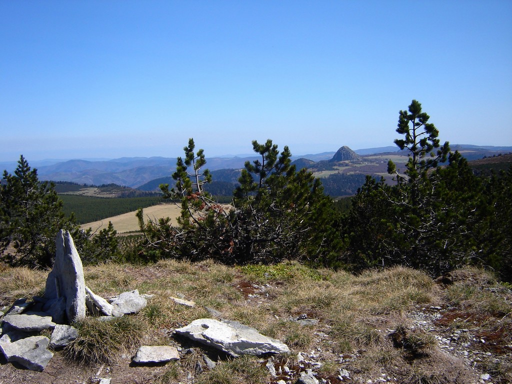
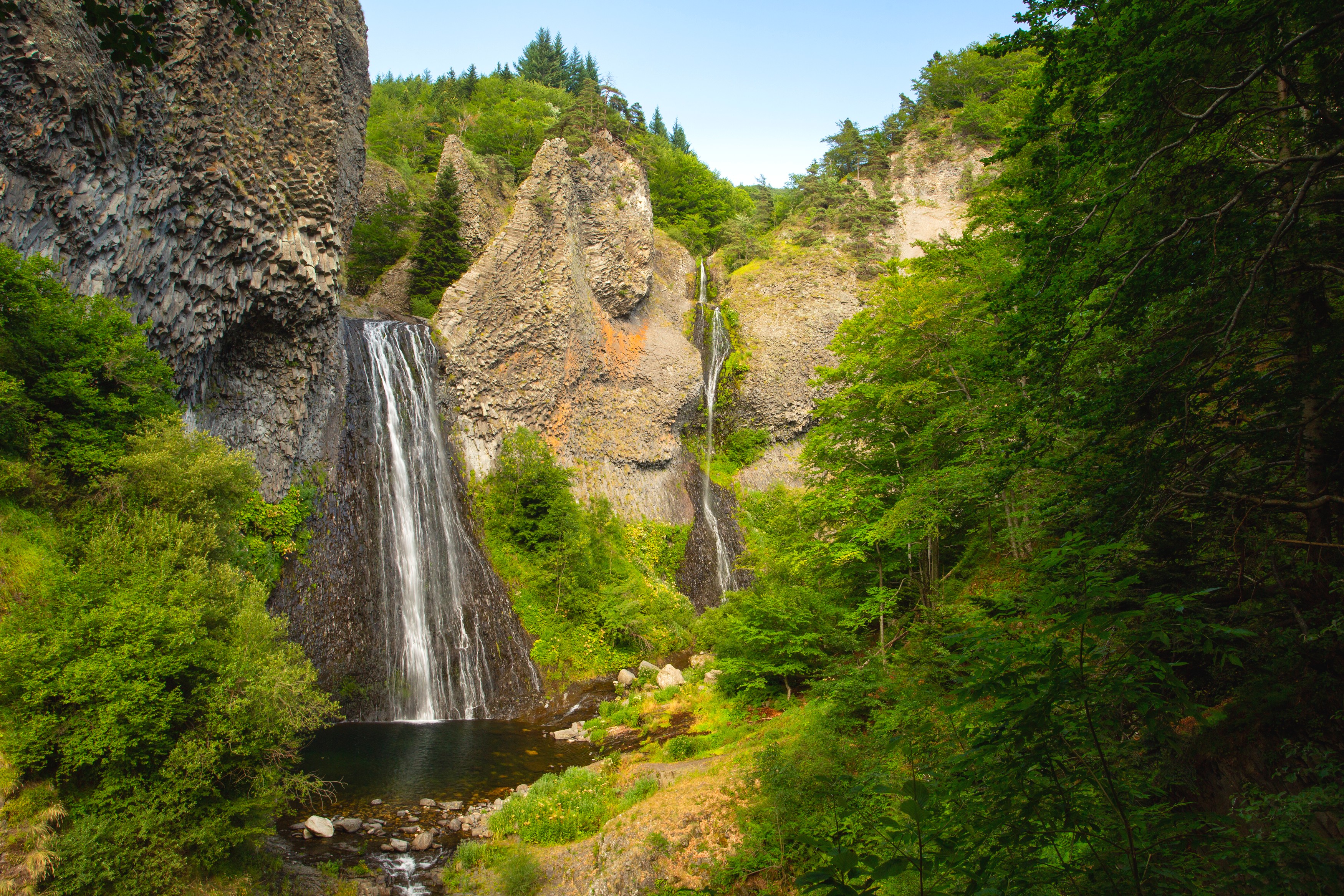
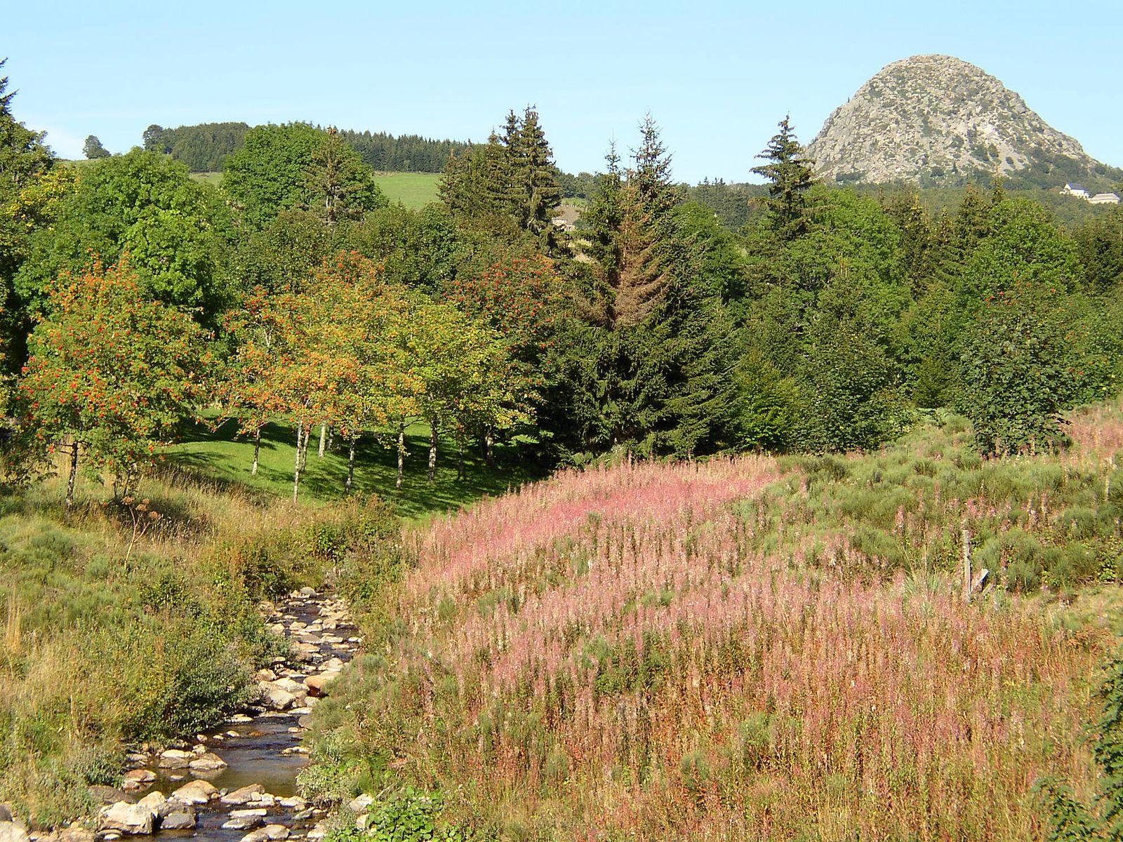
After a small detour to the summit of Mont Gerbier-de-Jonc, this is a short loop through the three sources of the Loire.

Already more than 200,000 users!
Uphill
131m
Highest point
1484m
Downhill
131m
Lowest point
1351m
Route type
Loop
Download the map on your smartphone to save battery and rest assured to always keep access to the route, even without signal.
Includes IGN France and Swisstopo.
I indicate whether dogs are allowed or prohibited on this trail
Can be difficult in Winter
2 ratings
Also enjoy:

Already more than 200,000 users!