Uphill
126m
Length
9km
Duration
2h30min
Elev gain
126m
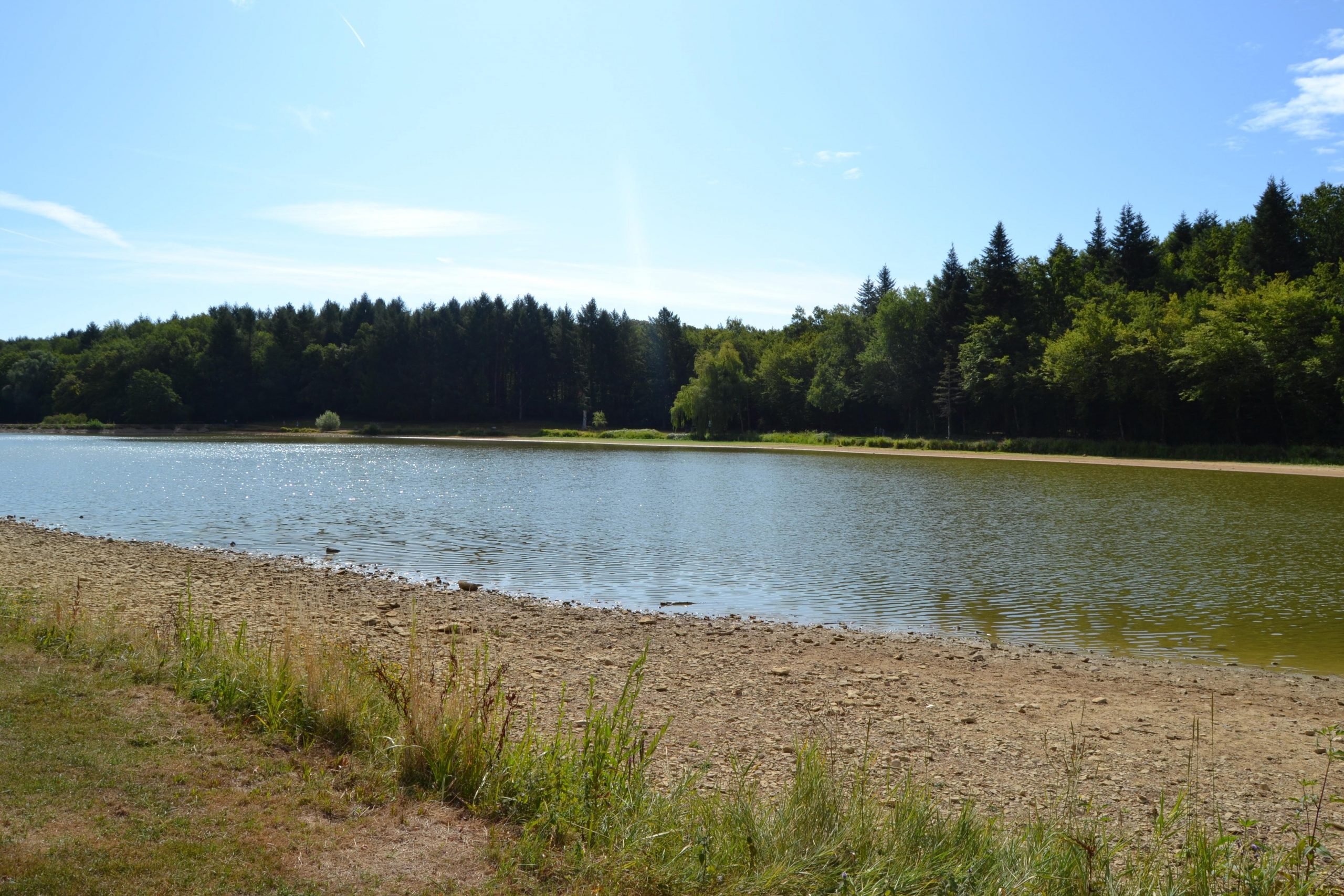
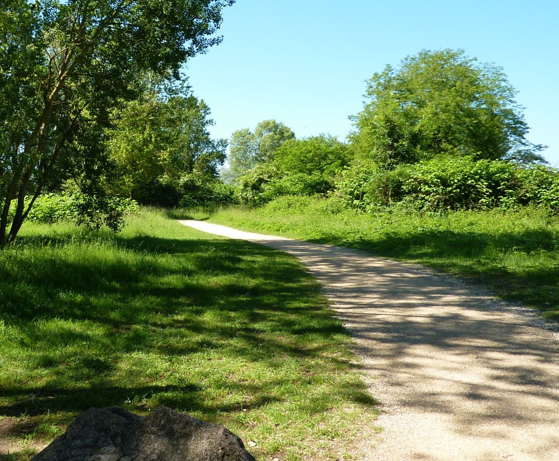
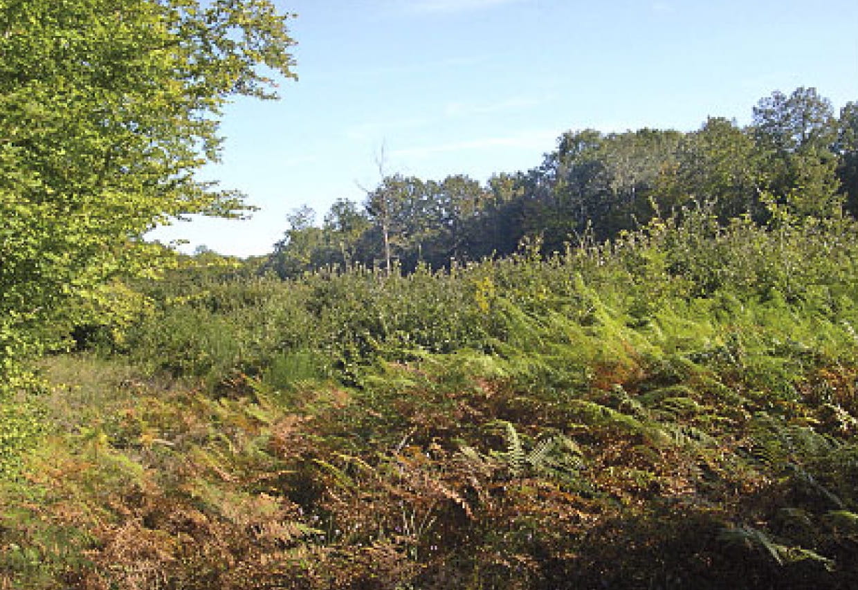
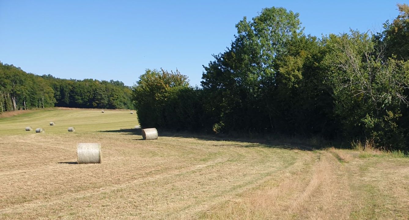
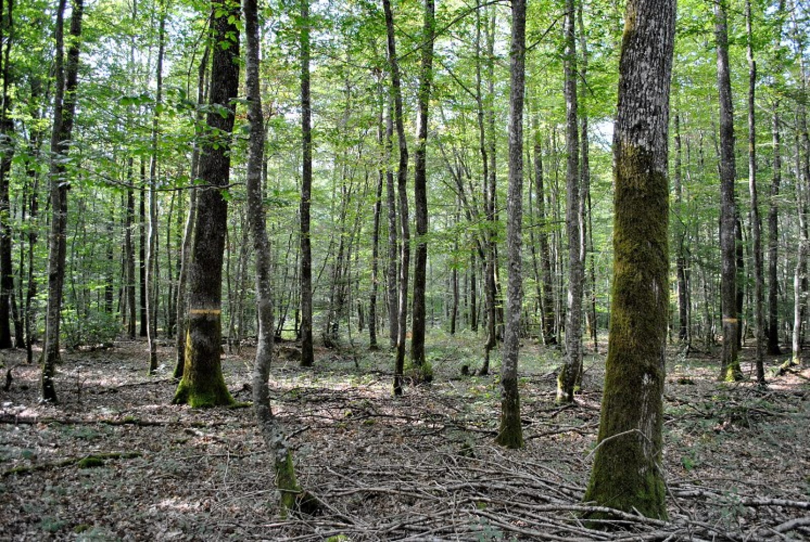
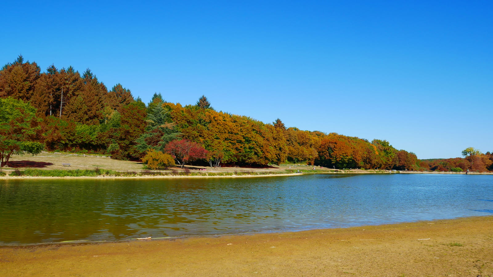
Departing from the Niffond lake, this hike takes place mainly in the forest. The route has some steep hills and is not lacking in charm given the beautiful diversity of the landscapes.

Already more than 200,000 users!
Uphill
126m
Highest point
259m
Downhill
126m
Lowest point
191m
Route type
Loop
Download the map on your smartphone to save battery and rest assured to always keep access to the route, even without signal.
Includes IGN France and Swisstopo.
I indicate whether dogs are allowed or prohibited on this trail
All year
1 rating
Also enjoy:

Already more than 200,000 users!