Uphill
429m
Length
13km
Duration
4h30min
Elev gain
429m
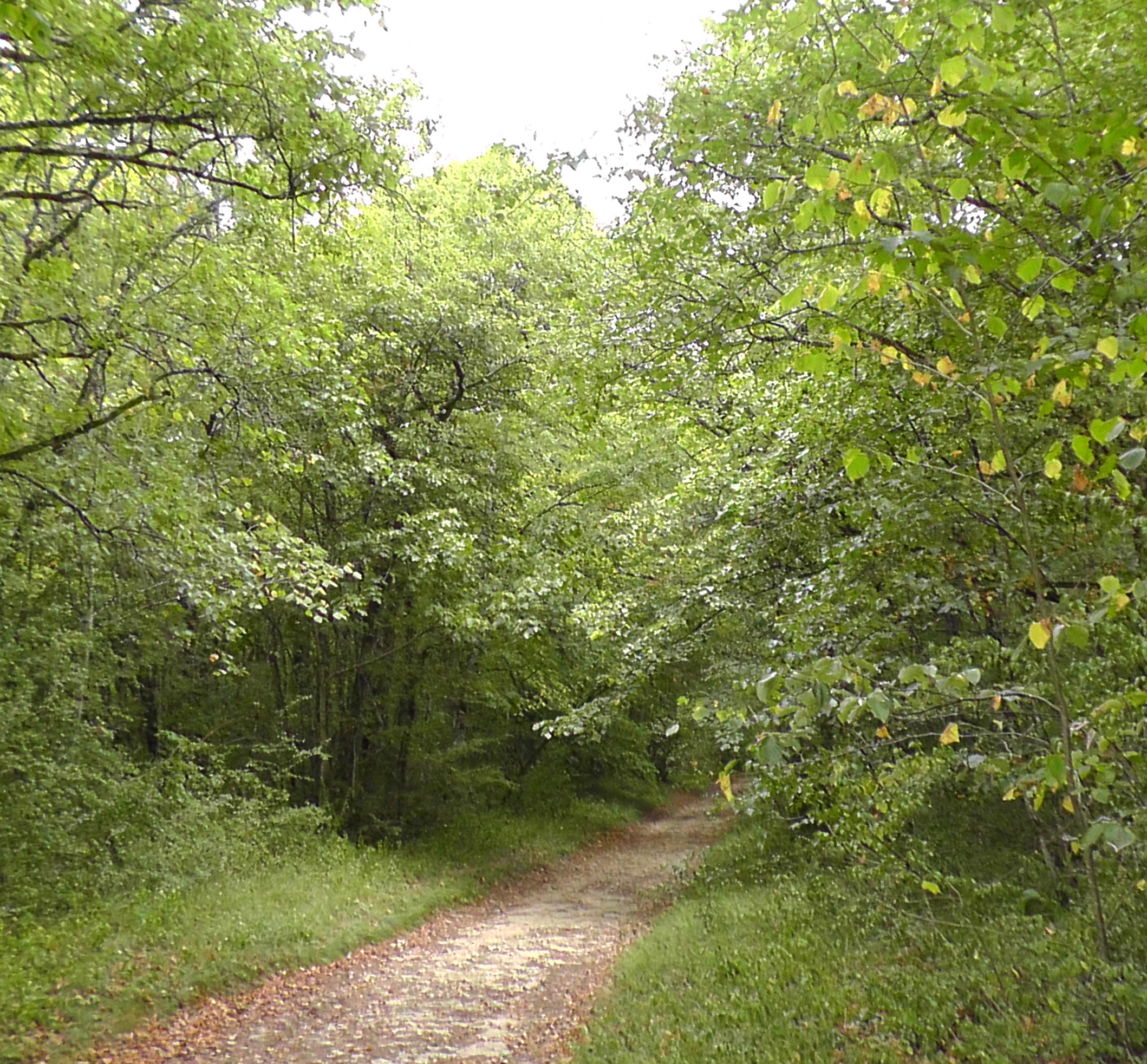
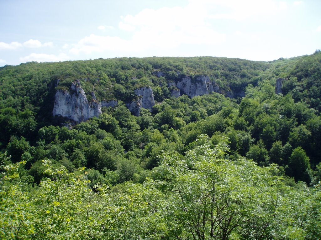
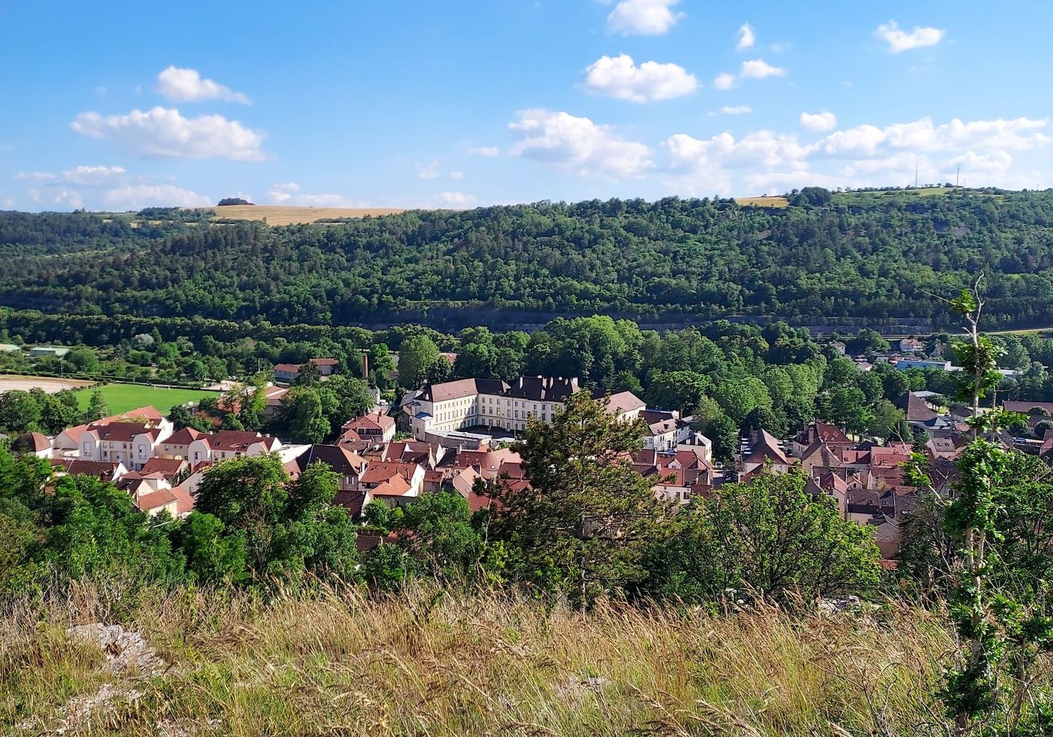
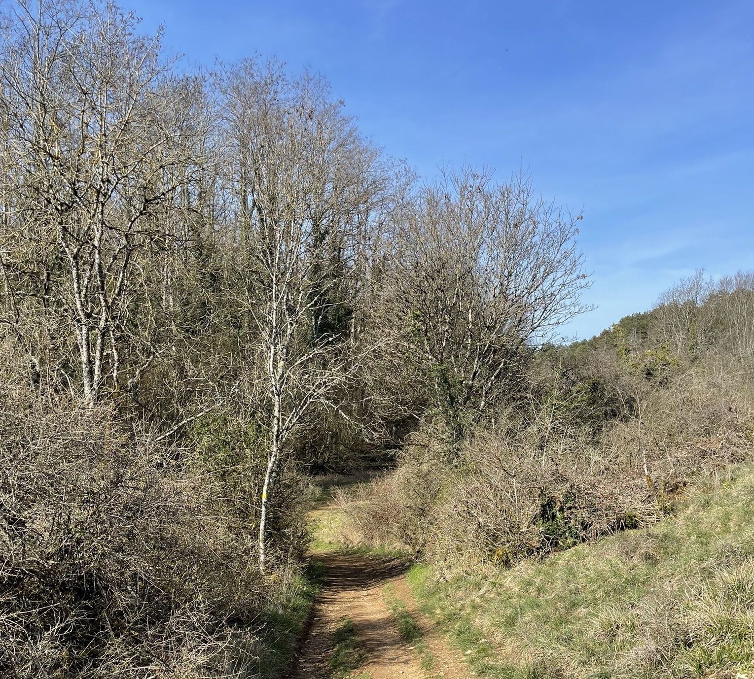
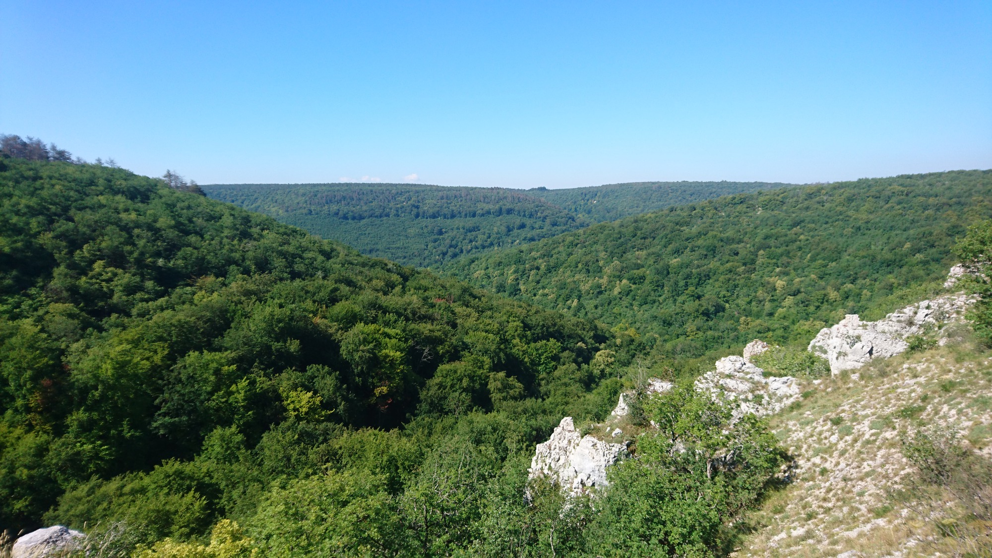
This route, located in the middle of the forest, winds around the Suzon and offers superb views of the river in a hilly setting.

Already more than 200,000 users!
Uphill
429m
Highest point
490m
Downhill
429m
Lowest point
286m
Route type
Loop
Download the map on your smartphone to save battery and rest assured to always keep access to the route, even without signal.
Includes IGN France and Swisstopo.
I indicate whether dogs are allowed or prohibited on this trail
All year
1 rating
Also enjoy:

Already more than 200,000 users!