Uphill
308m
Length
12km
Duration
3h30min
Elev gain
308m
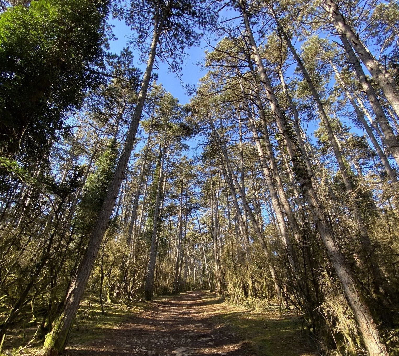
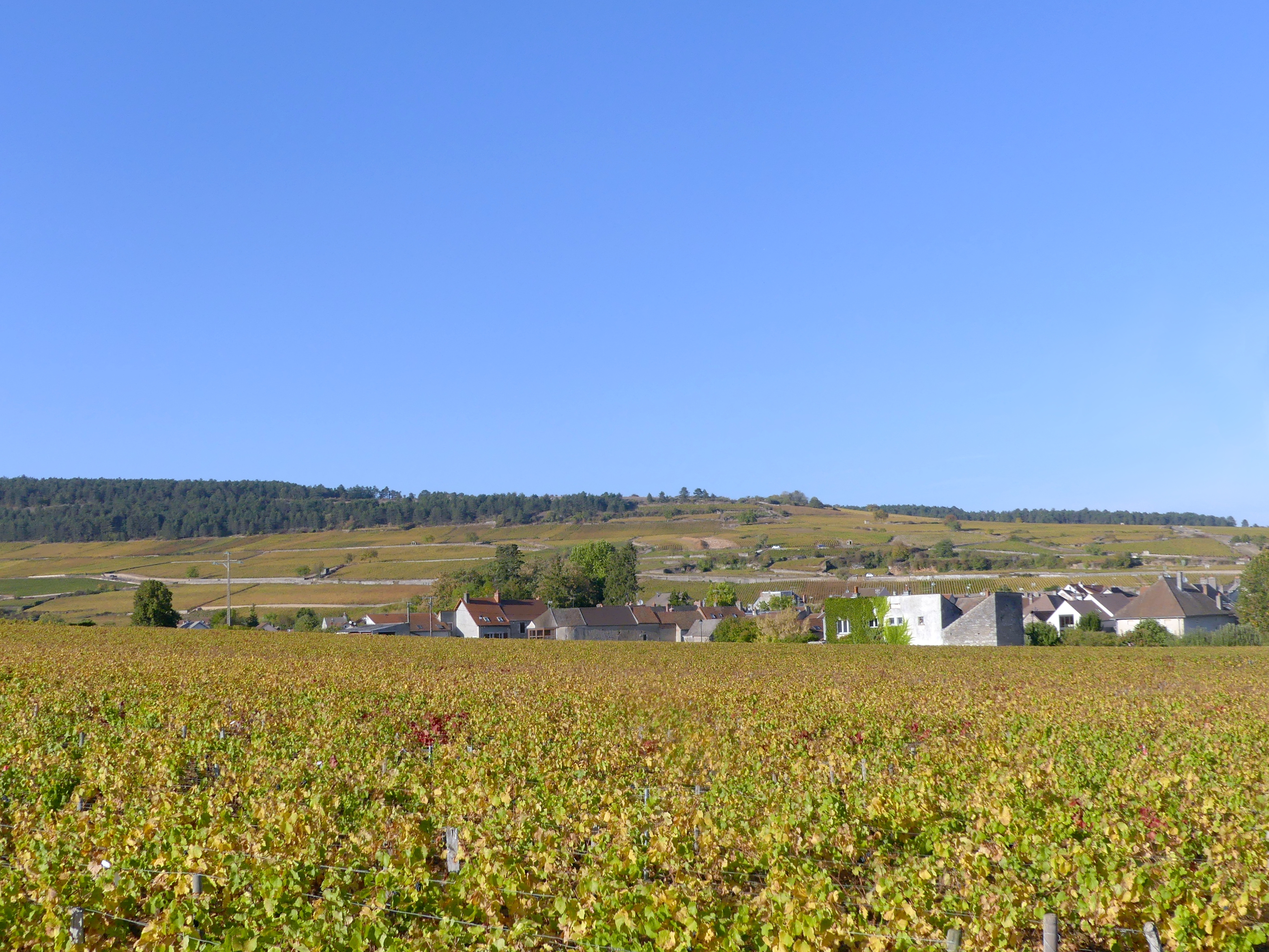
Departing from Savigny-lès-Beaune, this route alternates between a path in the middle of the vineyards and a path in the undergrowth, and offers superb views of the village.

Already more than 200,000 users!
Uphill
308m
Highest point
404m
Downhill
308m
Lowest point
257m
Route type
Loop
Download the map on your smartphone to save battery and rest assured to always keep access to the route, even without signal.
Includes IGN France and Swisstopo.
I indicate whether dogs are allowed or prohibited on this trail
All year
0 ratings
Also enjoy:

Already more than 200,000 users!