Uphill
76m
Length
4km
Duration
1h
Elev gain
76m
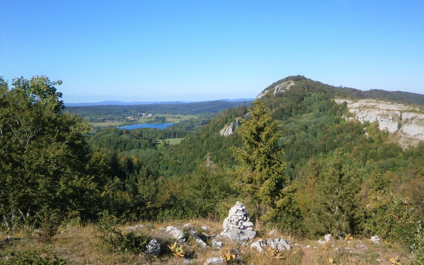
Here is a hike that is both short and impressive on the La Chaux-du-Dombief side. The route makes a nice loop, alternating between passages in the undergrowth and open passages, offering beautiful viewpoints.
Some passages are on a ridge and are relatively steep: to be avoided by people prone to vertigo.

Already more than 200,000 users!
Uphill
76m
Highest point
956m
Downhill
76m
Lowest point
904m
Route type
Loop
Download the map on your smartphone to save battery and rest assured to always keep access to the route, even without signal.
Includes IGN France and Swisstopo.
I indicate whether dogs are allowed or prohibited on this trail
Can be difficult in Winter
2 ratings
Also enjoy:

Already more than 200,000 users!


