Uphill
69m
Length
5km
Duration
1h30min
Elev gain
69m
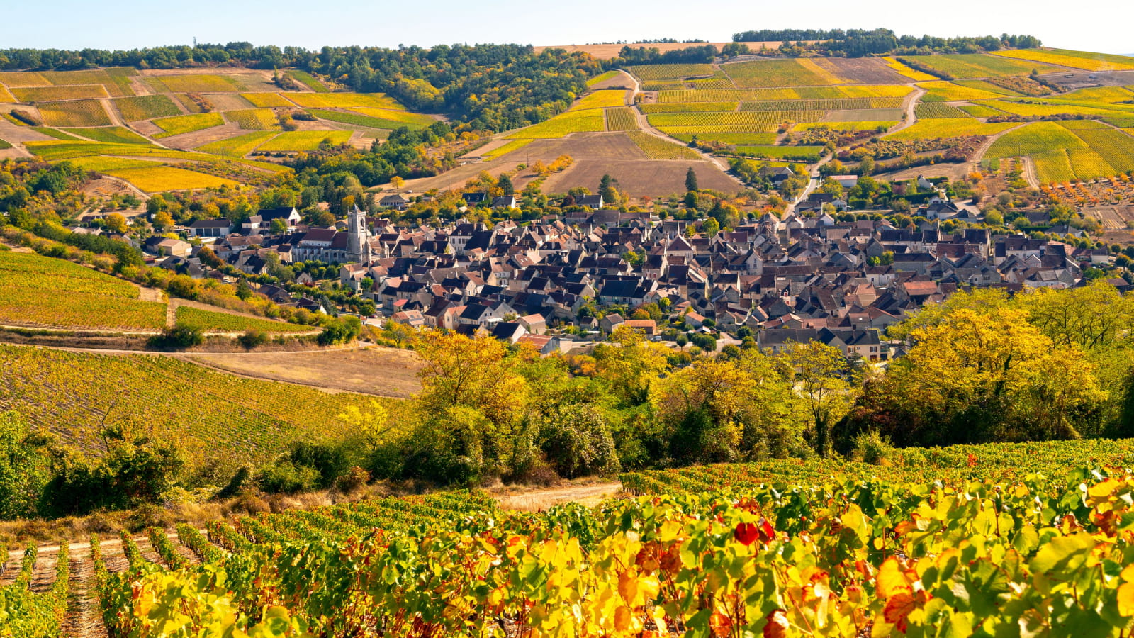
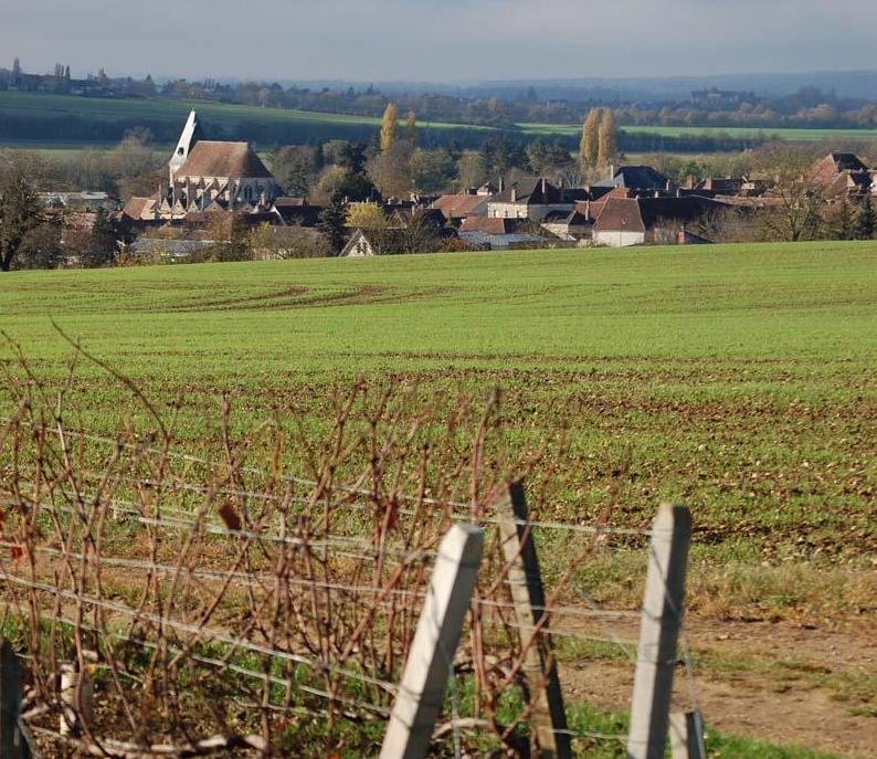
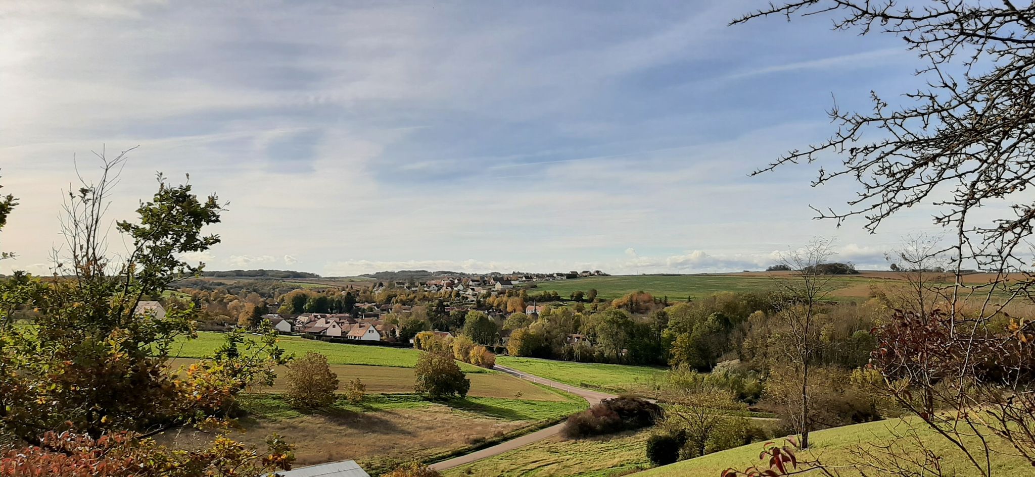
Leaving from Vallan, this hike climbs from the start to reach a wood. Then, we take advantage of the pretty panoramic views across the fields before returning towards the starting point.

Already more than 200,000 users!
Uphill
69m
Highest point
197m
Downhill
69m
Lowest point
137m
Route type
Loop
Download the map on your smartphone to save battery and rest assured to always keep access to the route, even without signal.
Includes IGN France and Swisstopo.
I indicate whether dogs are allowed or prohibited on this trail
All year
1 rating
Also enjoy:

Already more than 200,000 users!