Uphill
13m
Length
7km
Duration
1h30min
Elev gain
13m
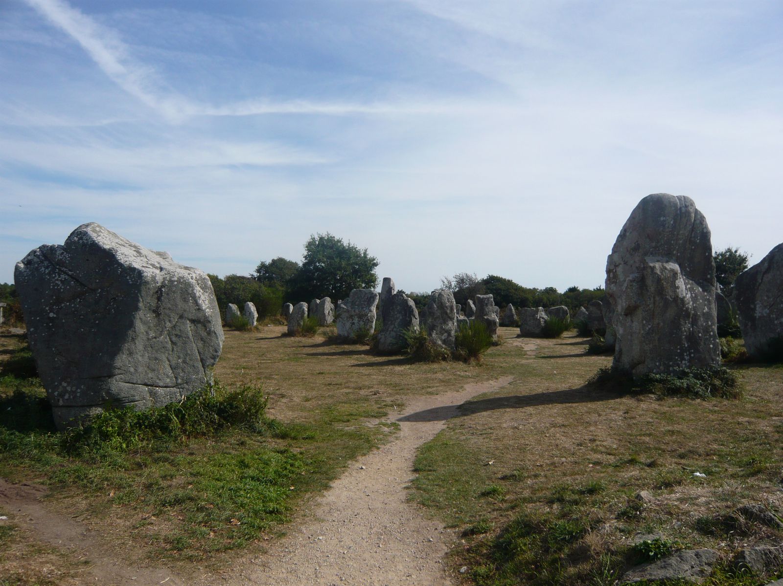
Near Erdeven, walk through the most important Breton megalithic site after Carnac. 190 menhirs about 6 meters high are there, surrounded by woods and fields.

Already more than 200,000 users!
Uphill
13m
Highest point
32m
Downhill
13m
Lowest point
12m
Route type
There and back
Download the map on your smartphone to save battery and rest assured to always keep access to the route, even without signal.
Includes IGN France and Swisstopo.
2 ratings
Also enjoy:

Already more than 200,000 users!