Uphill
85m
Length
4km
Duration
1h30min
Elev gain
85m
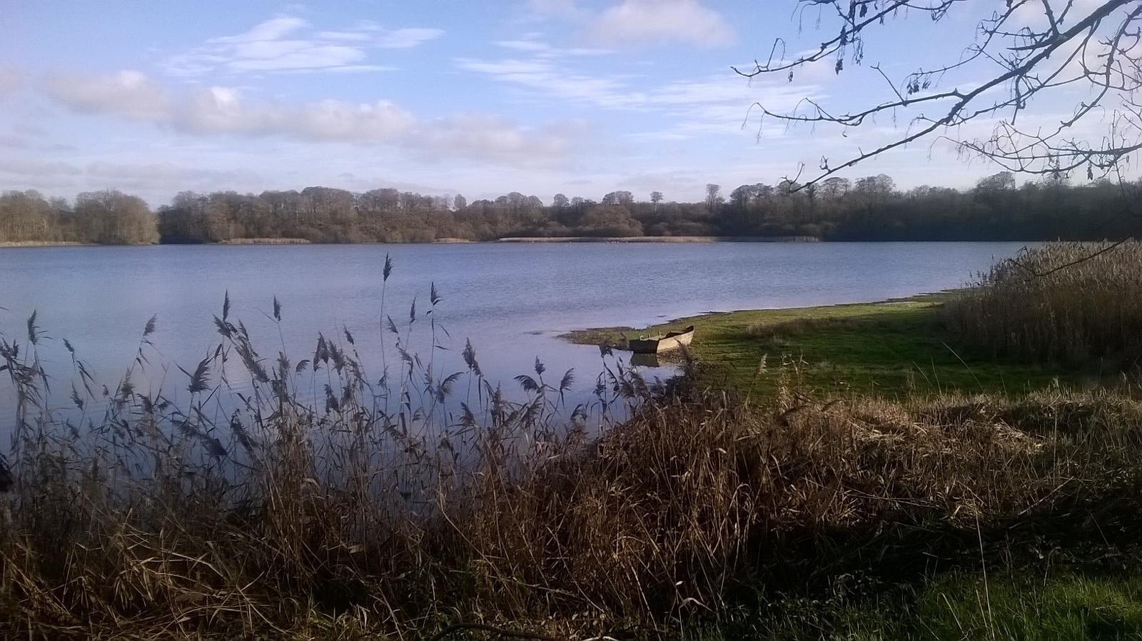
Path circling the Bazouges basin. It is bordered by fields on the west side, as well as the Ile-de-Rance canal and undergrowth on the east side.

Already more than 200,000 users!
Uphill
85m
Highest point
94m
Downhill
85m
Lowest point
46m
Route type
Loop
Download the map on your smartphone to save battery and rest assured to always keep access to the route, even without signal.
Includes IGN France and Swisstopo.
I indicate whether dogs are allowed or prohibited on this trail
All year
1 rating
Also enjoy:

Already more than 200,000 users!


