Uphill
48m
Length
7km
Duration
2h
Elev gain
48m
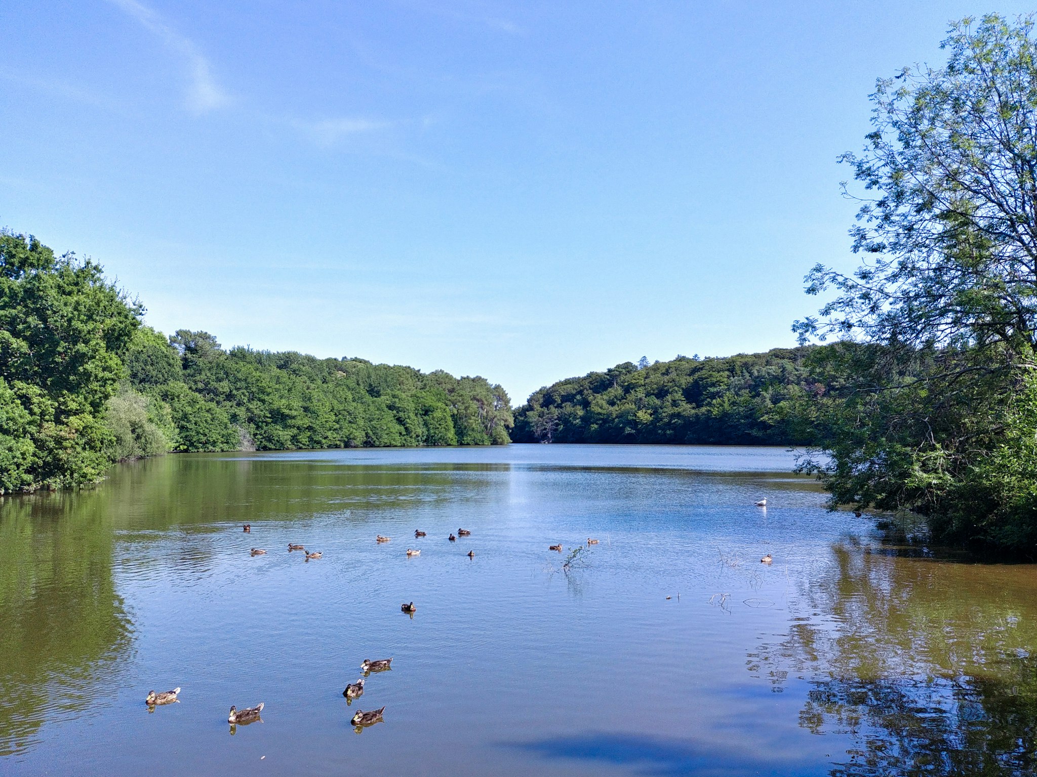
Walk around a pond located between the towns of Lorient, Larmor-Plage and Ploemeur. The path is mainly in the undergrowth, and sometimes runs alongside residential areas.

Already more than 200,000 users!
Uphill
48m
Highest point
34m
Downhill
48m
Lowest point
5m
Route type
Loop
Download the map on your smartphone to save battery and rest assured to always keep access to the route, even without signal.
Includes IGN France and Swisstopo.
1 rating
Also enjoy:

Already more than 200,000 users!


