Uphill
297m
Length
14km
Duration
4h
Elev gain
297m
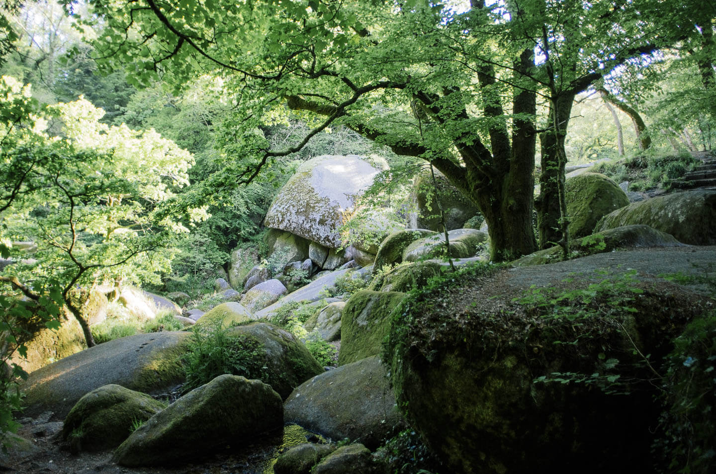
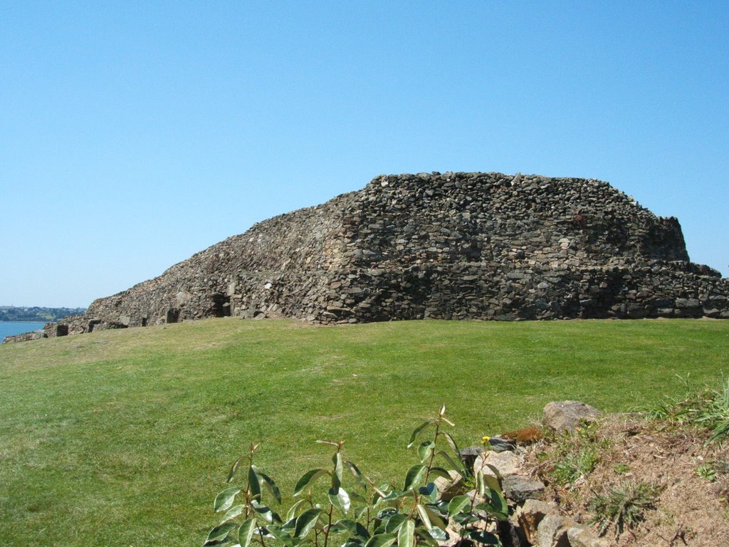
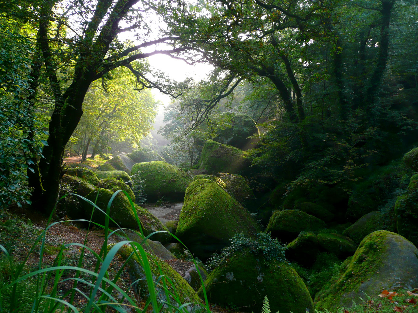
Discover a legendary forest, and its many landmarks: rivière d'Argent, roche Tremblante, Champignon, and several caves.

Already more than 200,000 users!
Uphill
297m
Highest point
226m
Downhill
297m
Lowest point
84m
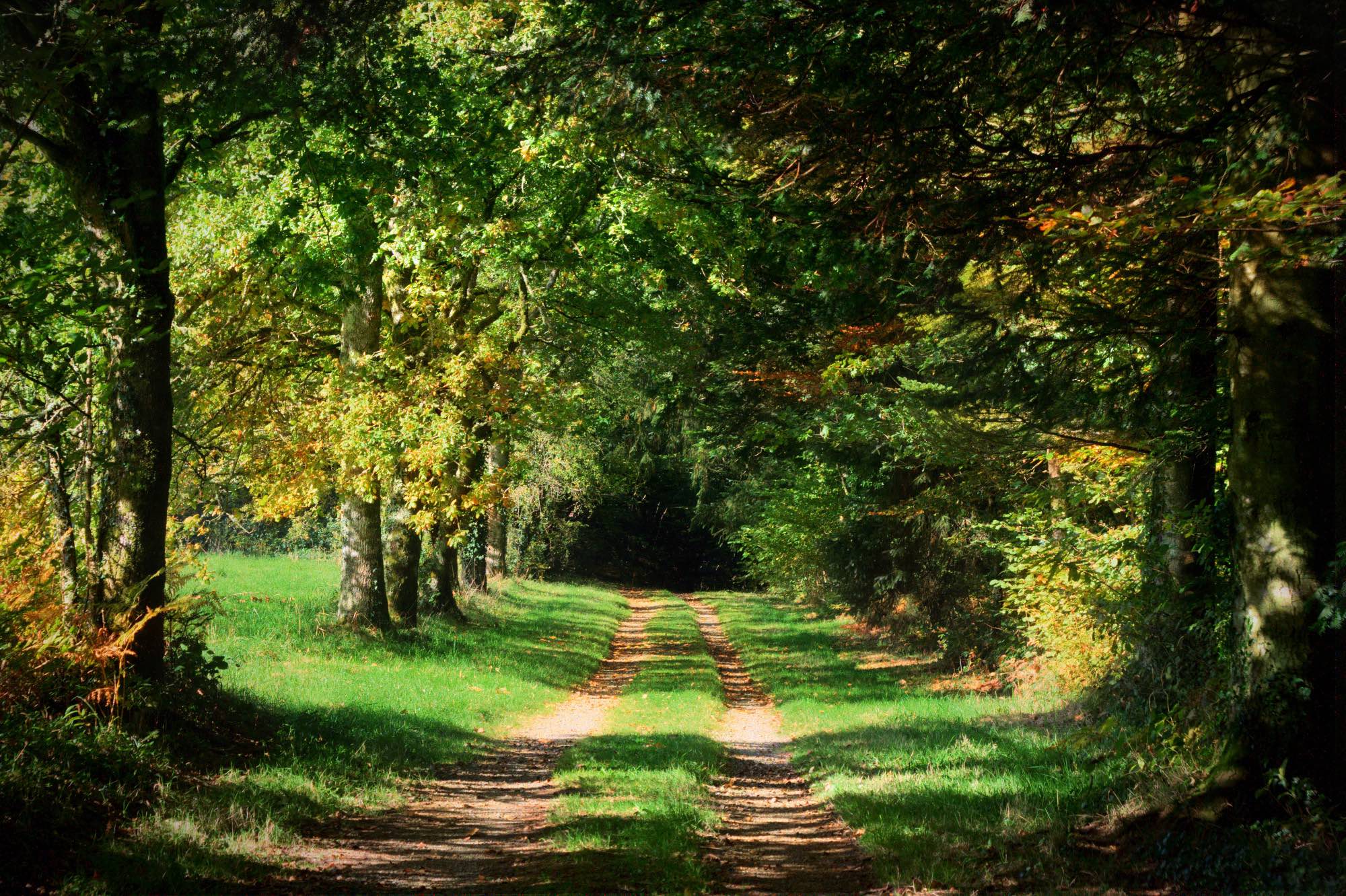
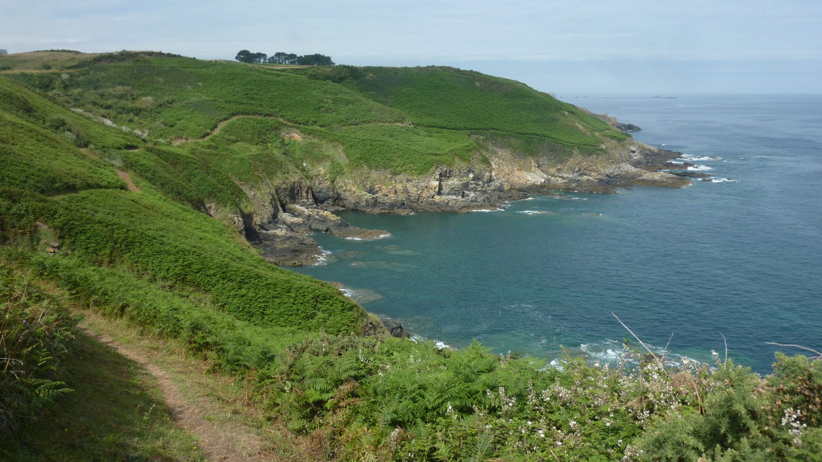
Route type
Loop
Download the map on your smartphone to save battery and rest assured to always keep access to the route, even without signal.
Includes IGN France and Swisstopo.
I indicate whether dogs are allowed or prohibited on this trail
All year
2 ratings
Also enjoy:

Already more than 200,000 users!