Uphill
155m
Length
9km
Duration
2h30min
Elev gain
155m
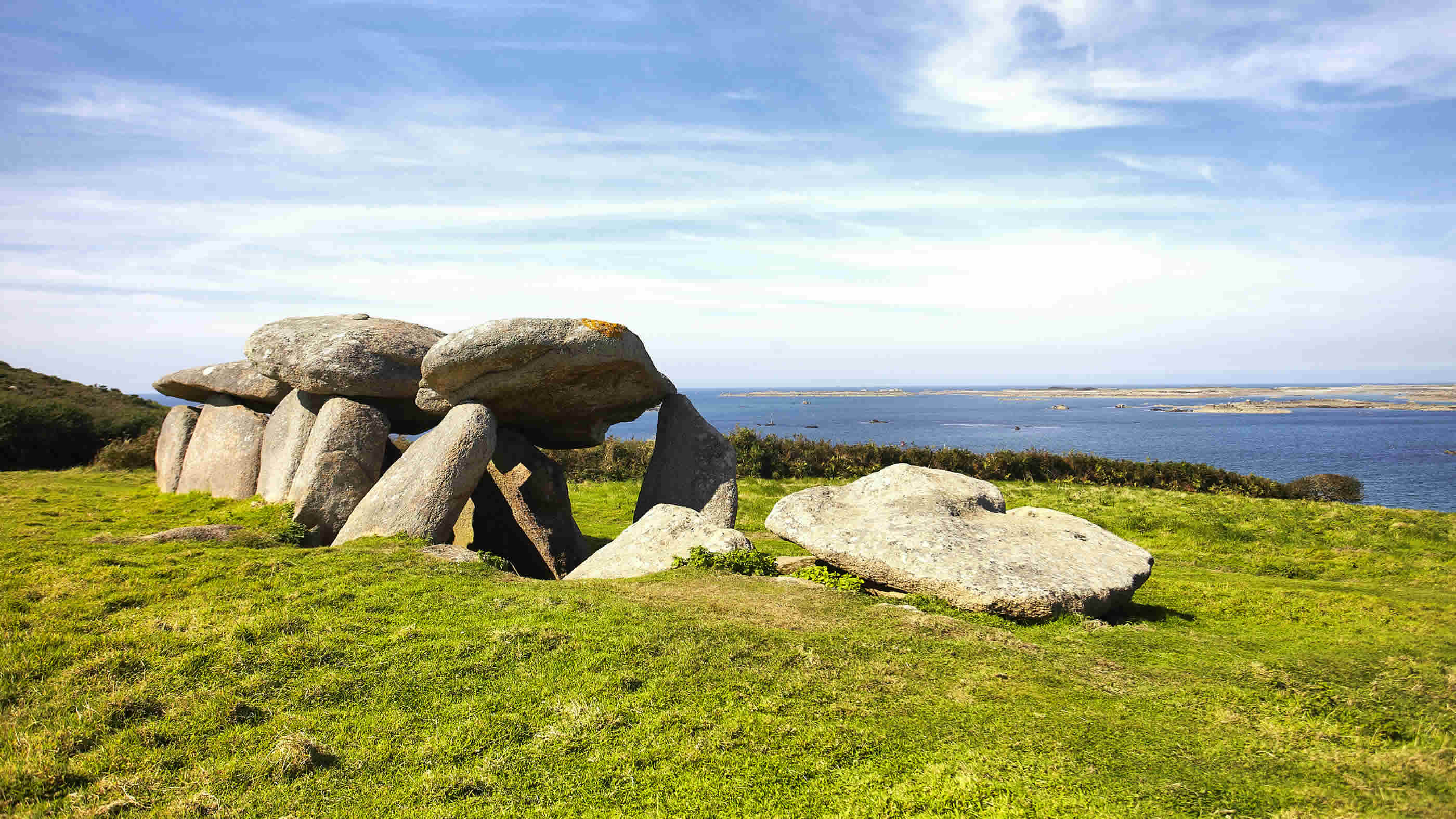
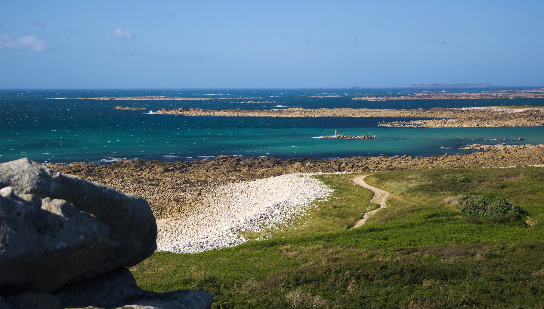
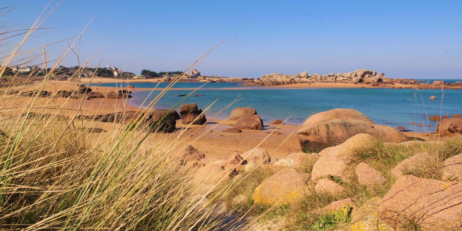
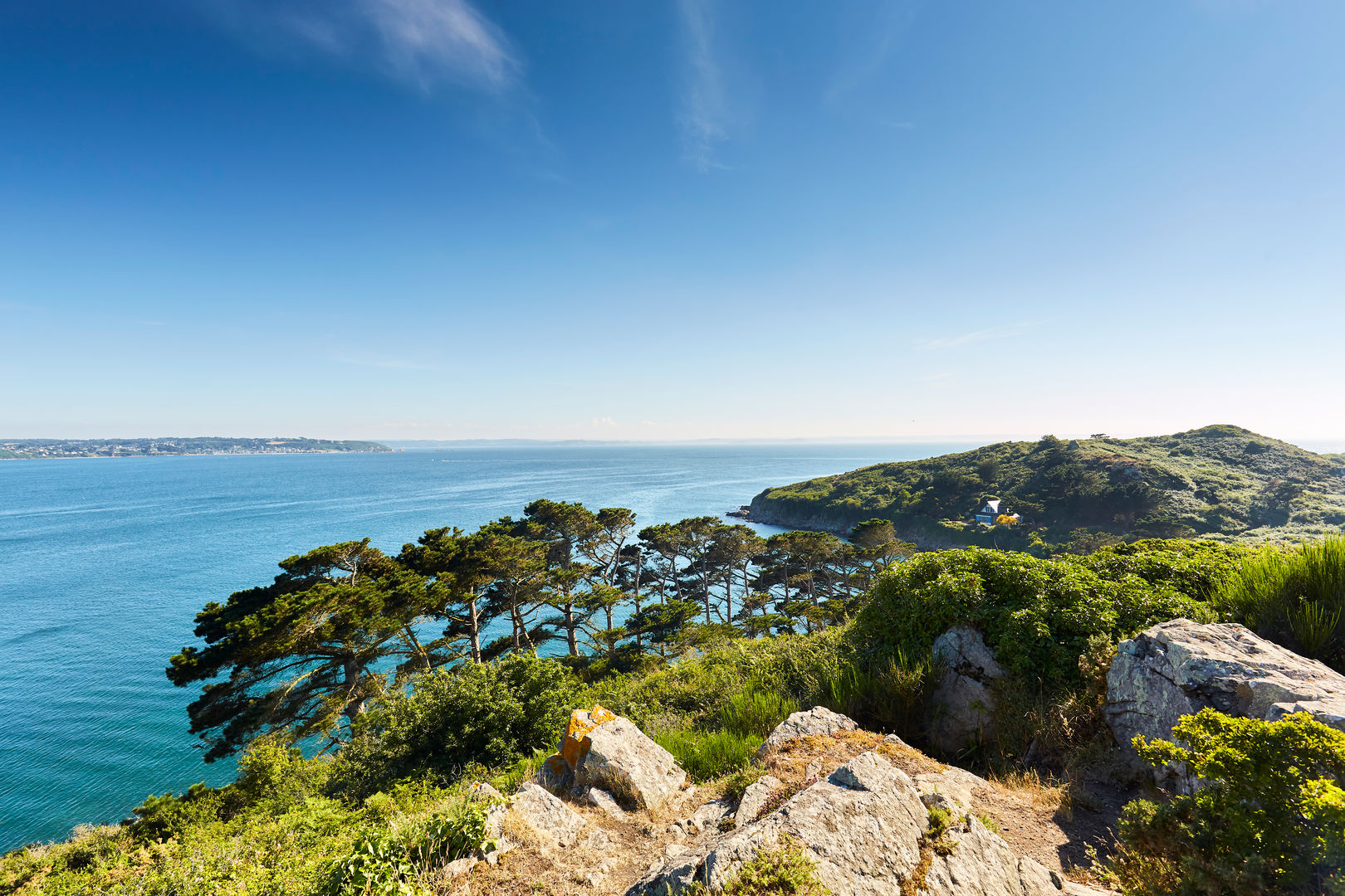
Departing from Beg-Léguer beach, this route crosses the bay of Lannion to the tip of Bihit. The latter is a magnificent promontory covered with ferns and heather, and offering a panorama of the surroundings.

Already more than 200,000 users!
Uphill
155m
Highest point
50m
Downhill
155m
Lowest point
0m
Route type
There and back
Download the map on your smartphone to save battery and rest assured to always keep access to the route, even without signal.
Includes IGN France and Swisstopo.
I indicate whether dogs are allowed or prohibited on this trail
All year
2 ratings
Also enjoy:

Already more than 200,000 users!