Uphill
118m
Length
6km
Duration
2h
Elev gain
118m
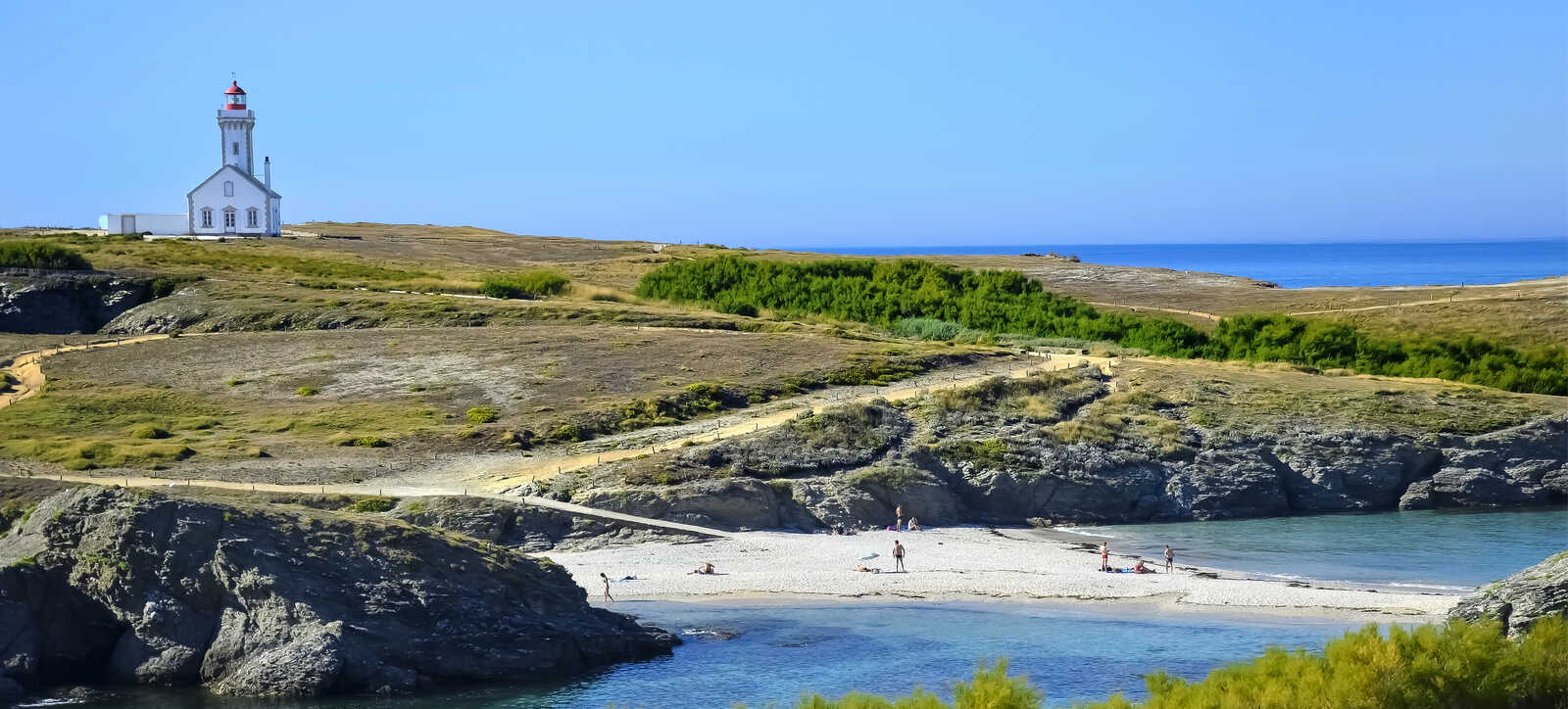
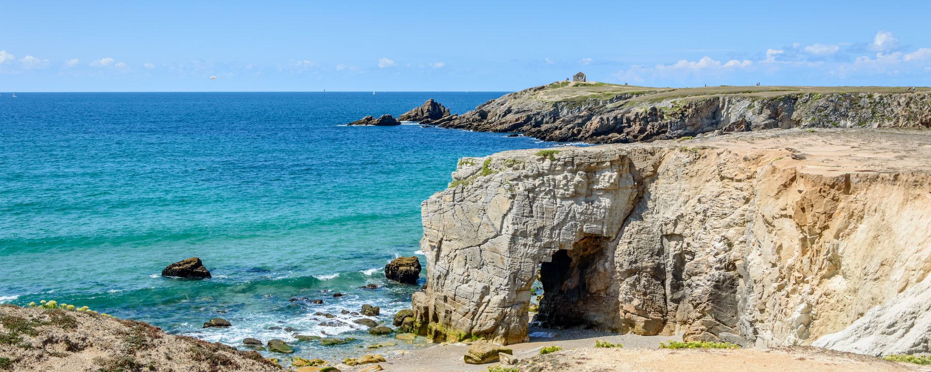
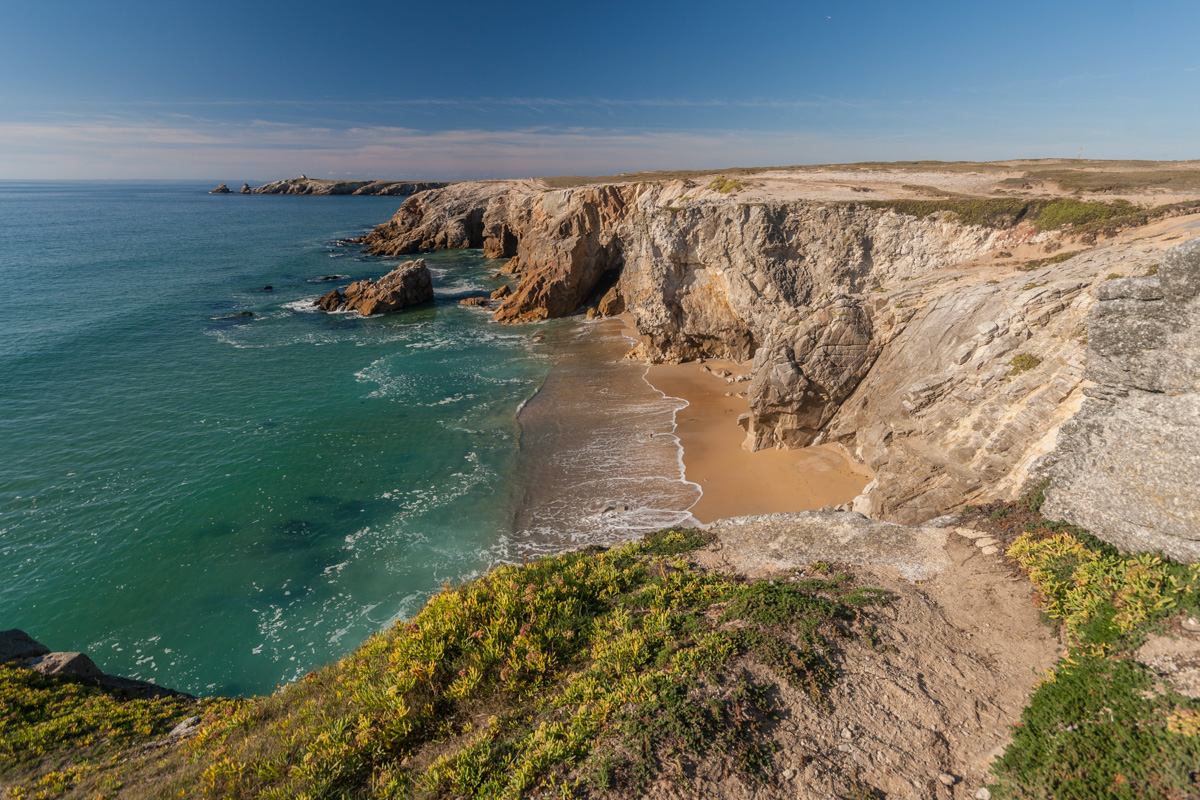
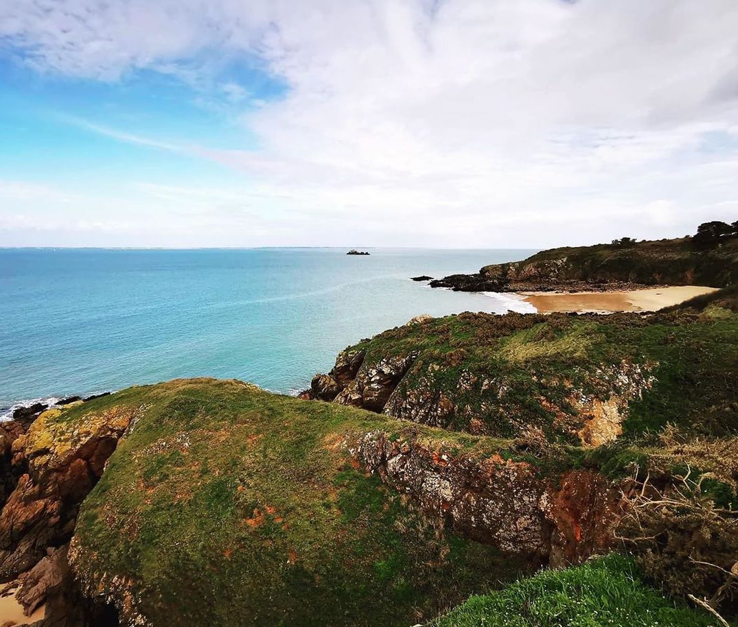
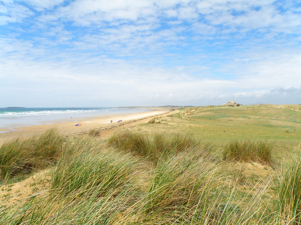
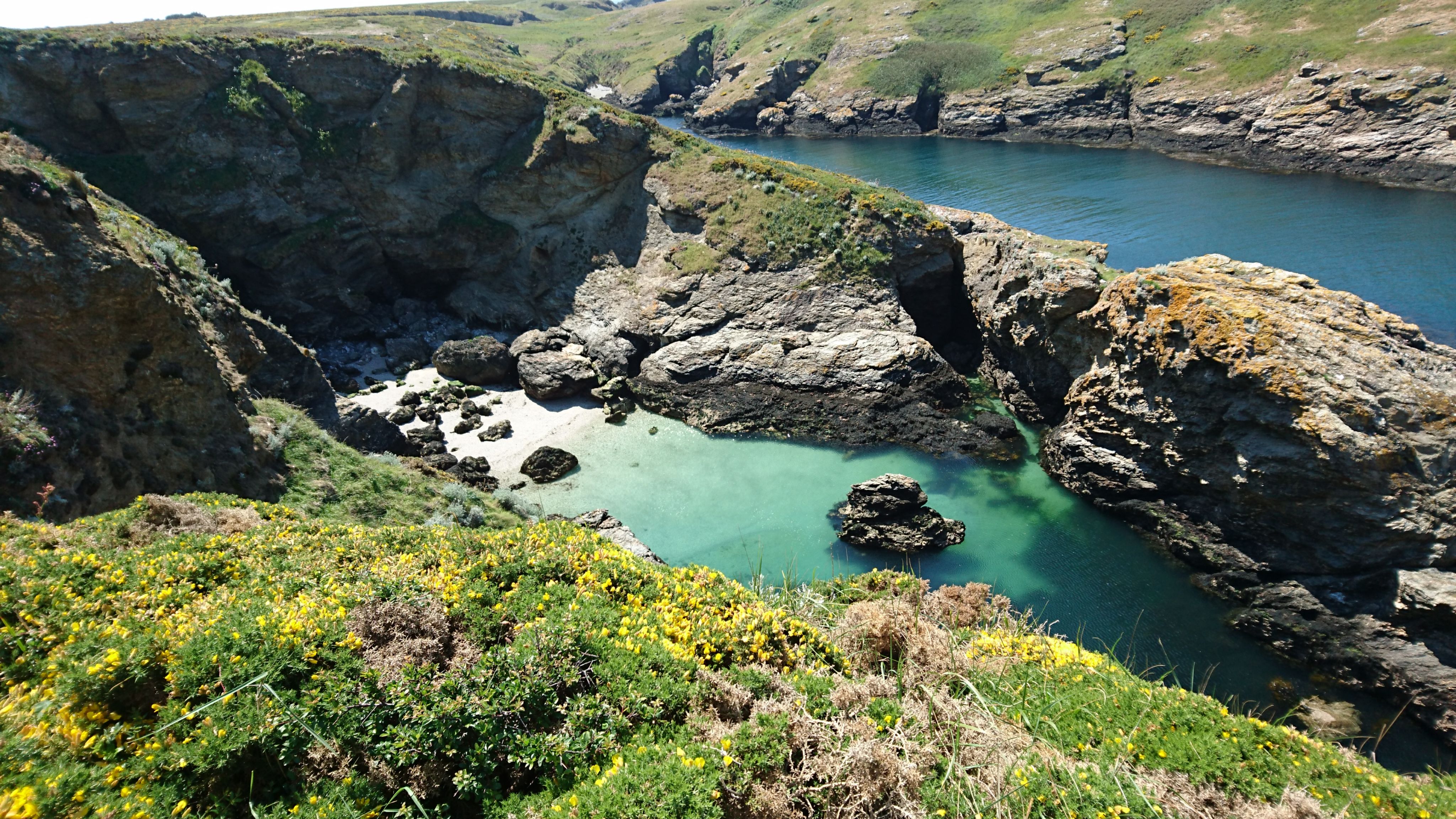
From Le Palais, the largest town in Belle-Île-en-Mer, this hike leads to Pointe de Taillefer, a former military base. On the way out, the route runs along the coast and offers superb views of the sea. The return is inland, crossing a few hamlets.

Already more than 200,000 users!
Uphill
118m
Highest point
47m
Downhill
118m
Lowest point
0m
Route type
Loop
Download the map on your smartphone to save battery and rest assured to always keep access to the route, even without signal.
Includes IGN France and Swisstopo.
I indicate whether dogs are allowed or prohibited on this trail
All year
1 rating
Also enjoy:

Already more than 200,000 users!