Uphill
117m
Length
5km
Duration
1h30min
Elev gain
117m
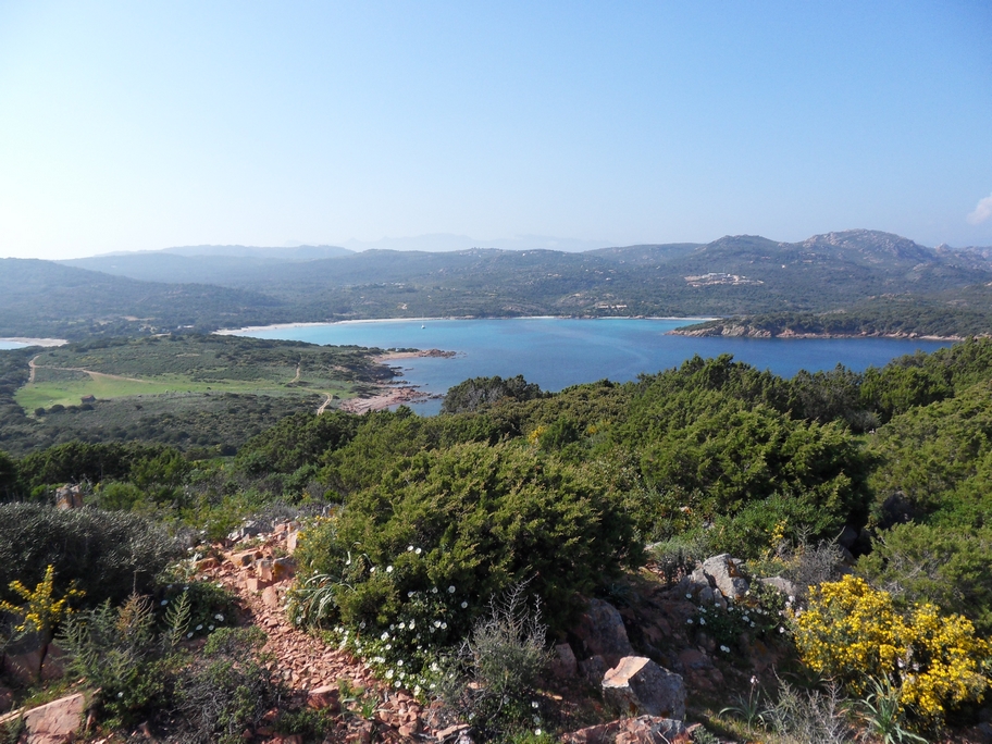
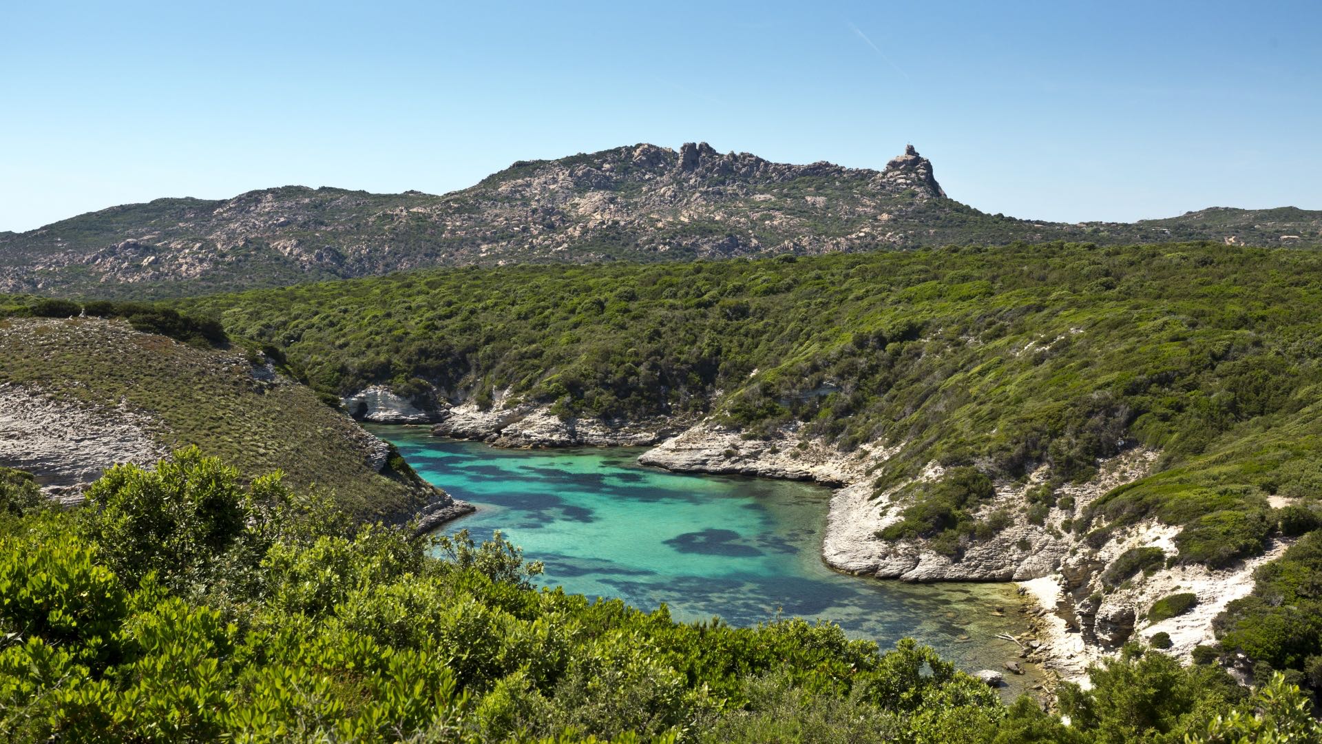
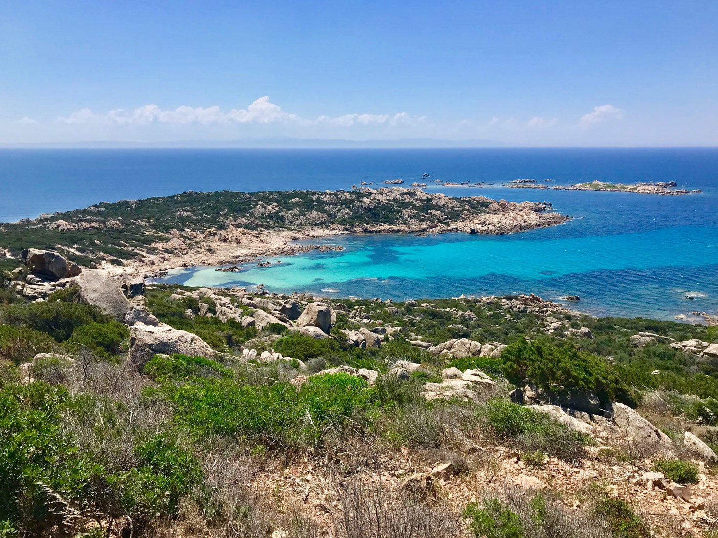
Walk to reach a Genoese tower in ruins, and especially to enjoy a beautiful panorama of the Gulf of Sant'Amanza.
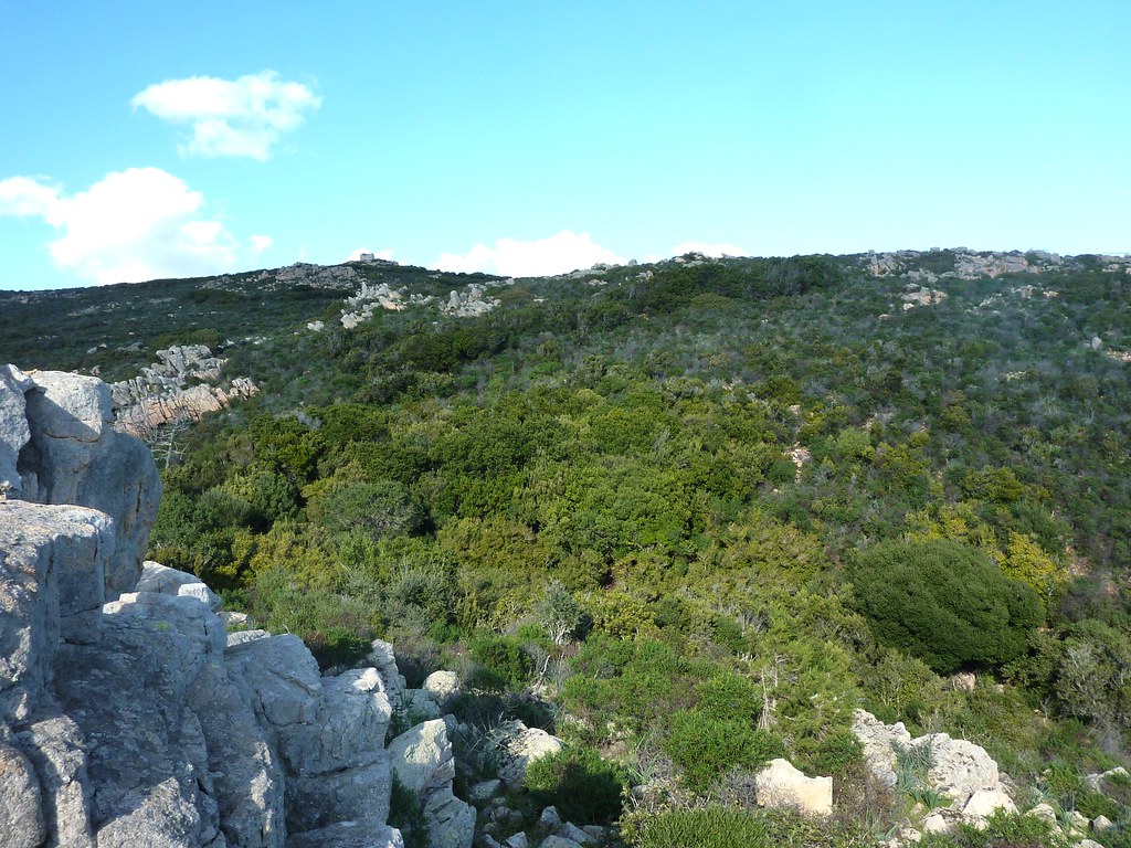
Note that the markup is not always explicit, and that the path is quite steep on the sea side.

Already more than 200,000 users!
Uphill
117m
Highest point
119m
Downhill
117m
Lowest point
5m
Route type
Loop
Download the map on your smartphone to save battery and rest assured to always keep access to the route, even without signal.
Includes IGN France and Swisstopo.
I indicate whether dogs are allowed or prohibited on this trail
All year
4 ratings
Sentier peu intéressant, voir dangereux par endroit, ne devrait même plus être proposé, maquisé. D'autres randos plus intéressantes à faire dans le coin. Je ne conseille pas
Paysage magnifique !
Mais pas du tout balisé , haute végétation présente nous nous sommes perdus temporairement heureusement que HIKA était la !
Passage au bord des falaises très périlleux !
La maki recouvre un peu le chemin. J’ai regretté de ne pas avoir un pantalon long pour me protéger des branches. La vue depuis la tour est splendide.
Also enjoy:

Already more than 200,000 users!