Uphill
82m
Length
9km
Duration
2h30min
Elev gain
82m
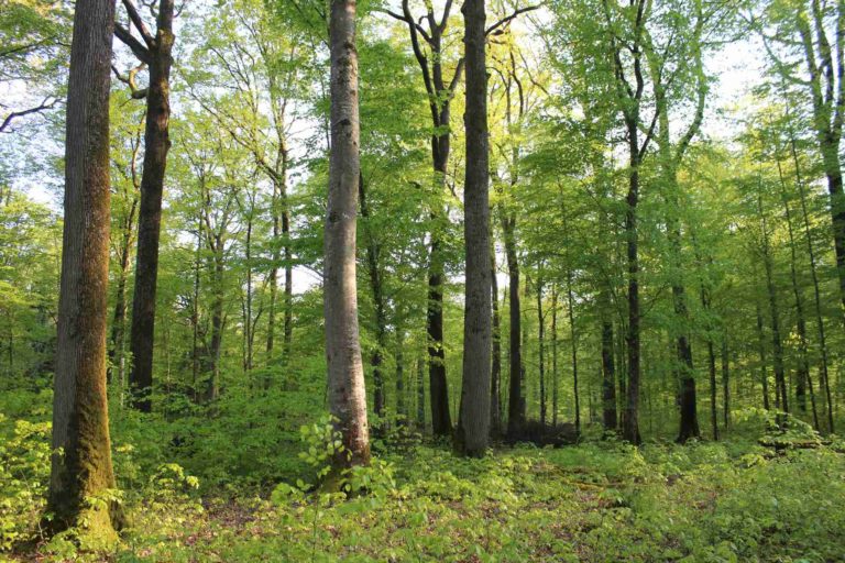
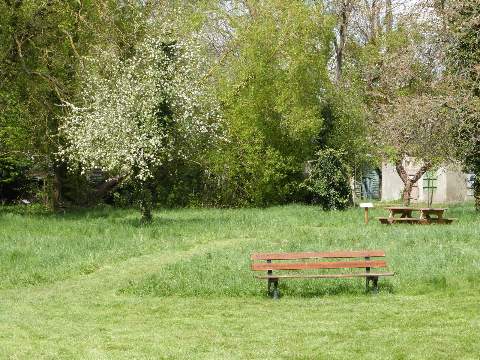
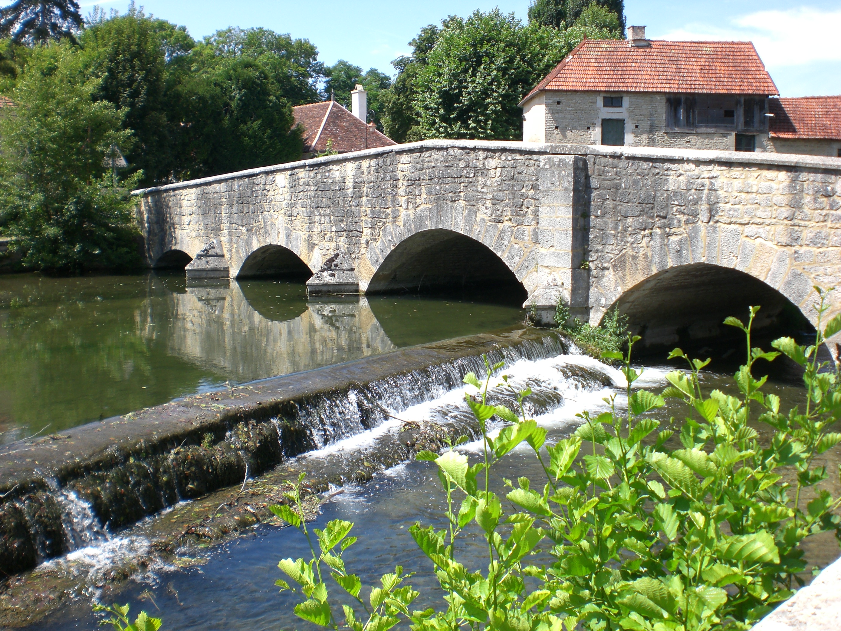
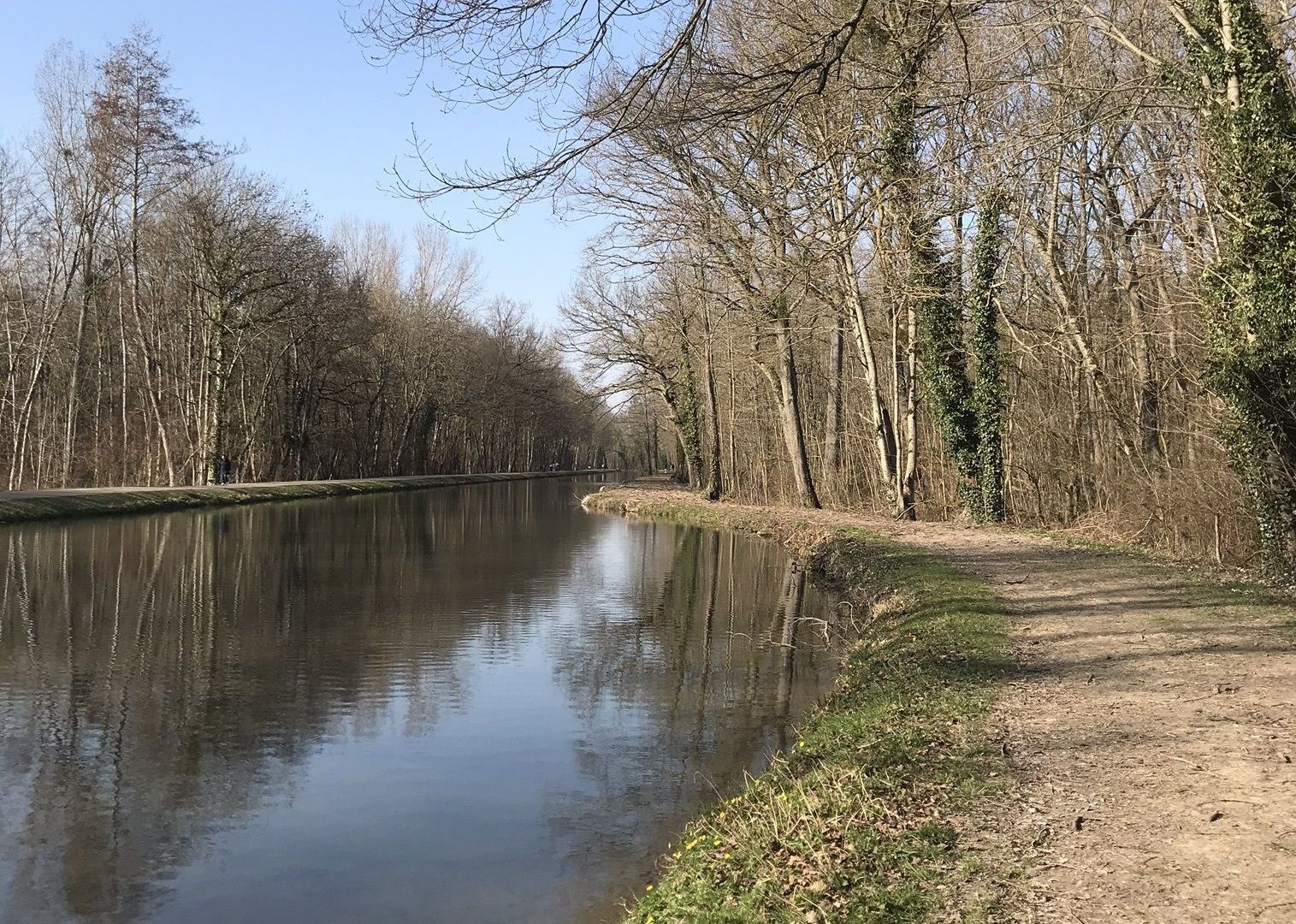
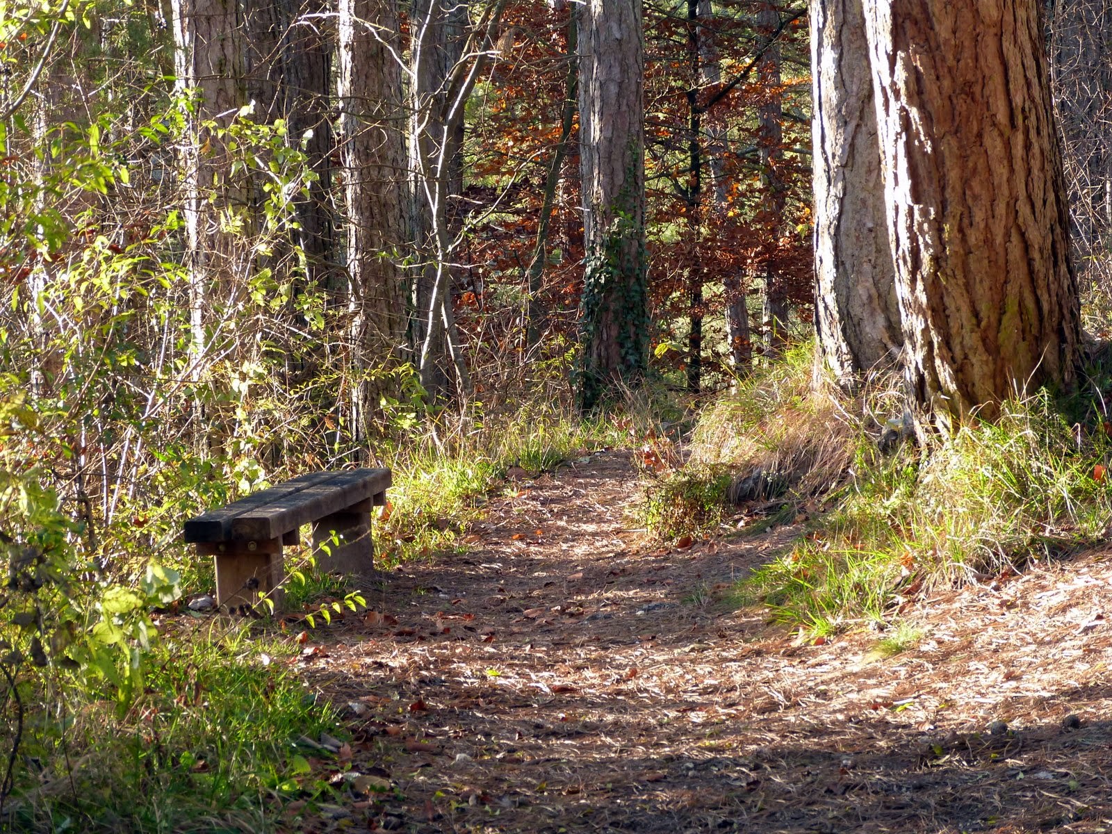
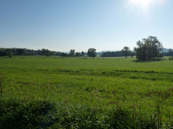
Here is a quiet stroll between forest, banks of the Seine, pastures and fields. The route makes a loop in this pleasant natural environment and also offers the possibility of swimming when the weather is favorable.

Already more than 200,000 users!
Uphill
82m
Highest point
170m
Downhill
82m
Lowest point
119m
Route type
Loop
Download the map on your smartphone to save battery and rest assured to always keep access to the route, even without signal.
Includes IGN France and Swisstopo.
I indicate whether dogs are allowed or prohibited on this trail
All year
0 ratings
Also enjoy:

Already more than 200,000 users!