Uphill
163m
Length
8km
Duration
2h30min
Elev gain
163m
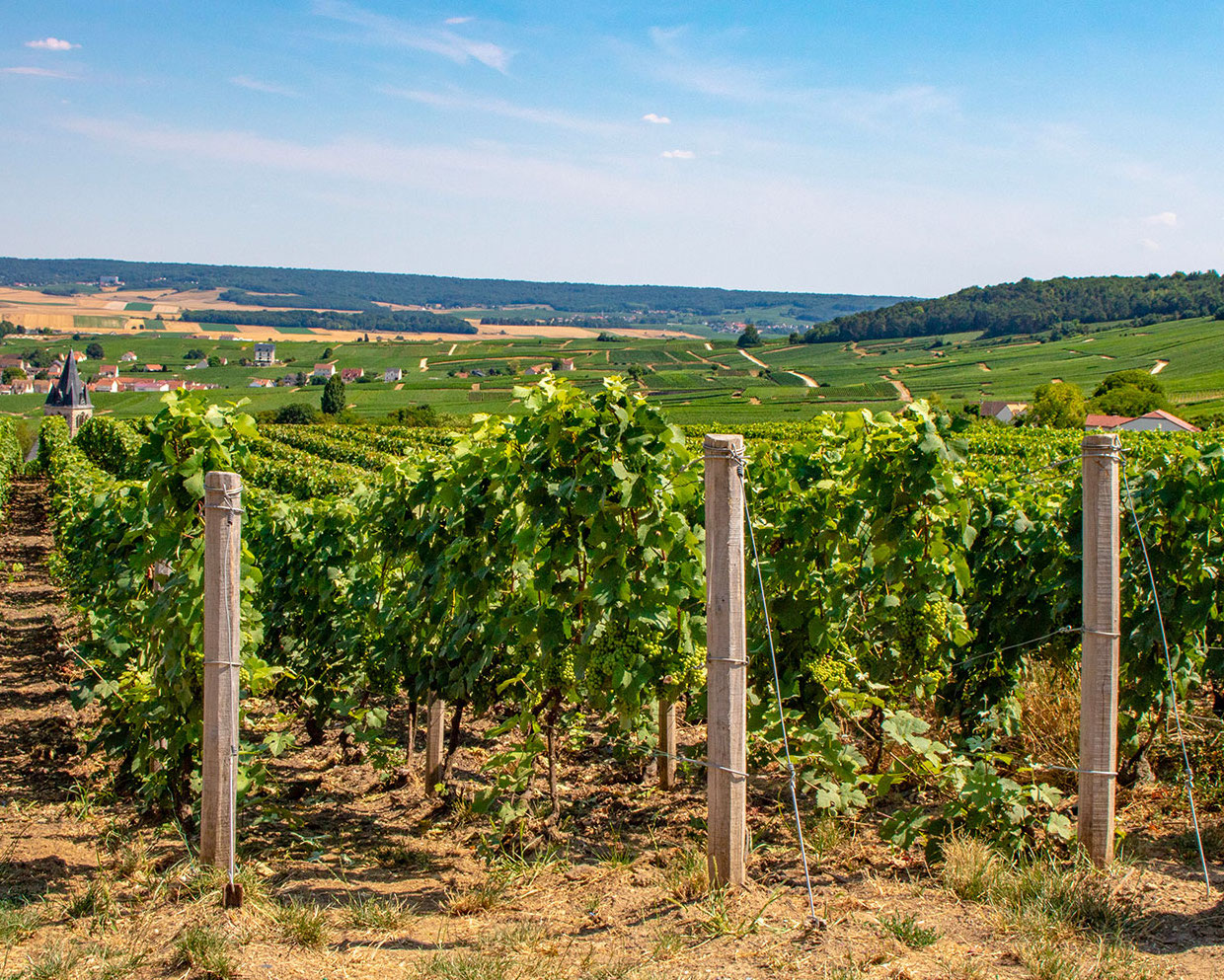
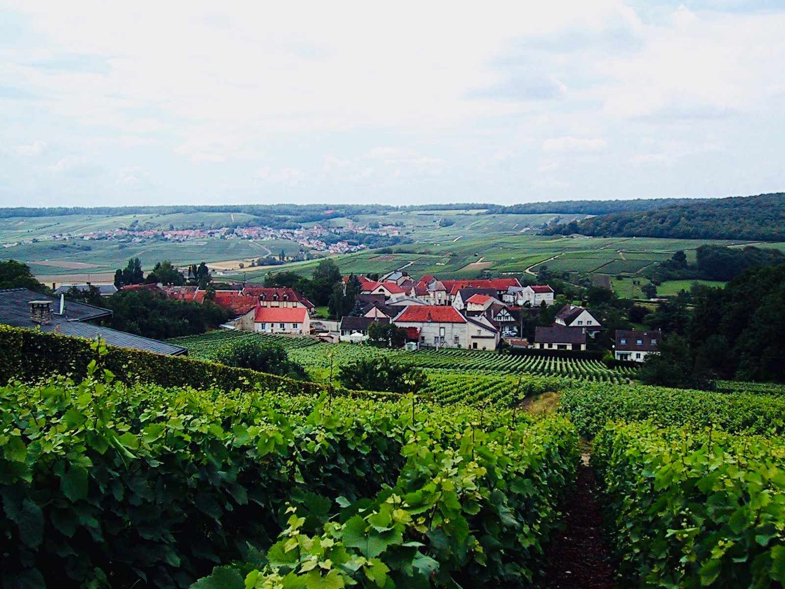
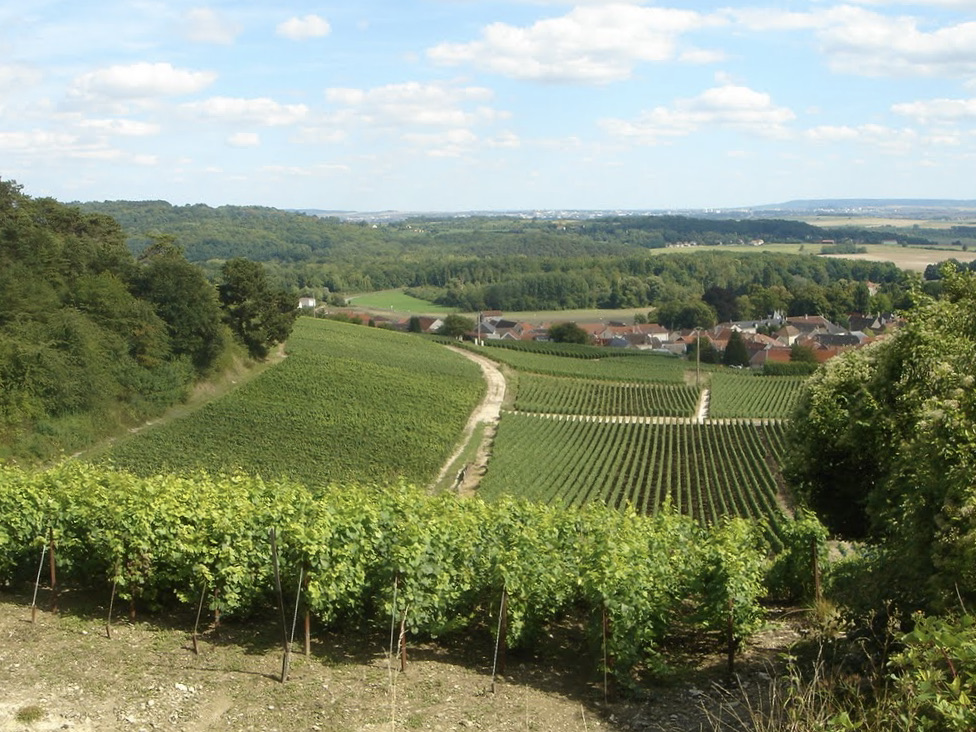
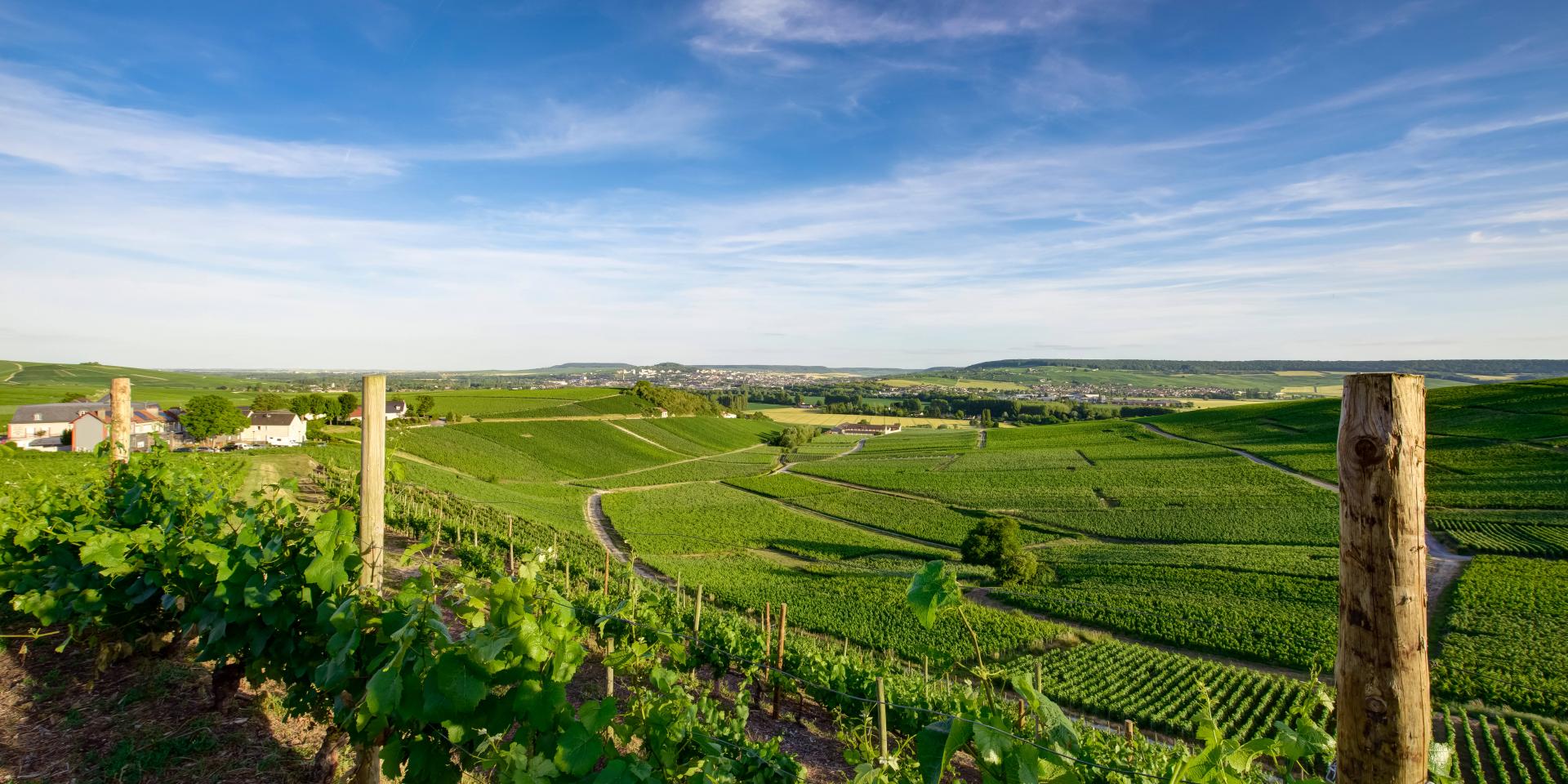
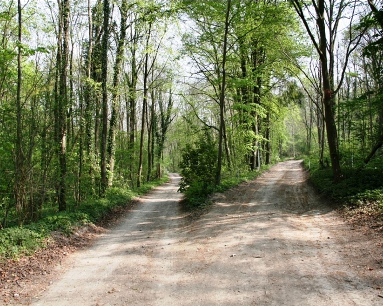
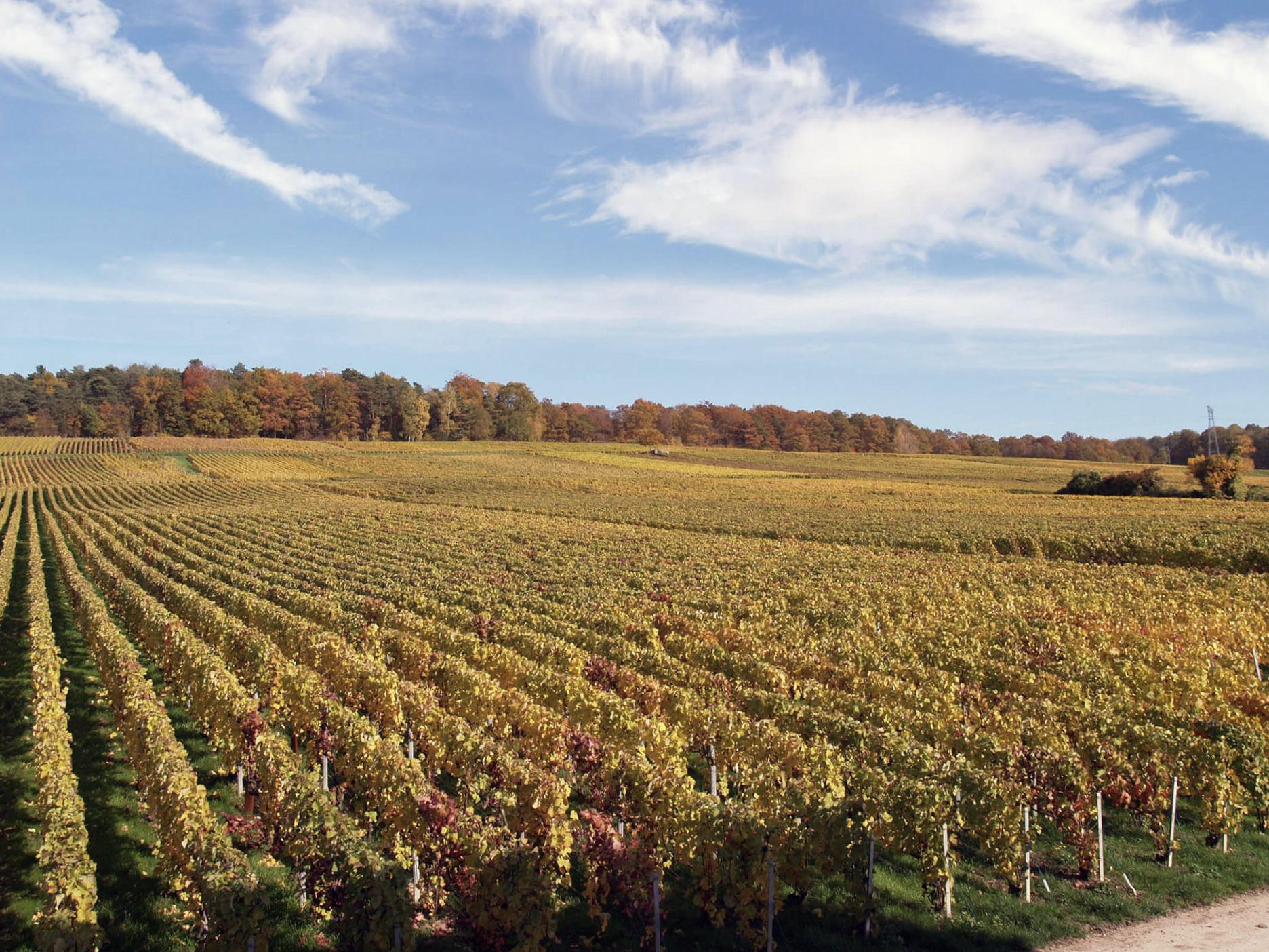
Leaving from the village of Courmas, this walk is very pleasant. The route passes through the village of Bouilly then makes a loop between forest and vineyards, an ideal environment for a short family outing.

Already more than 200,000 users!
Uphill
163m
Highest point
257m
Downhill
163m
Lowest point
132m
Route type
Loop
Download the map on your smartphone to save battery and rest assured to always keep access to the route, even without signal.
Includes IGN France and Swisstopo.
I indicate whether dogs are allowed or prohibited on this trail
All year
0 ratings
Also enjoy:

Already more than 200,000 users!