Uphill
15m
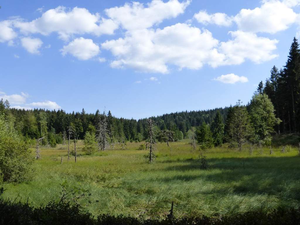
France > Grand Est > Vosges > Ballons des Vosges Regional Natural Park
Length
2km
Duration
30min
Elev gain
15m
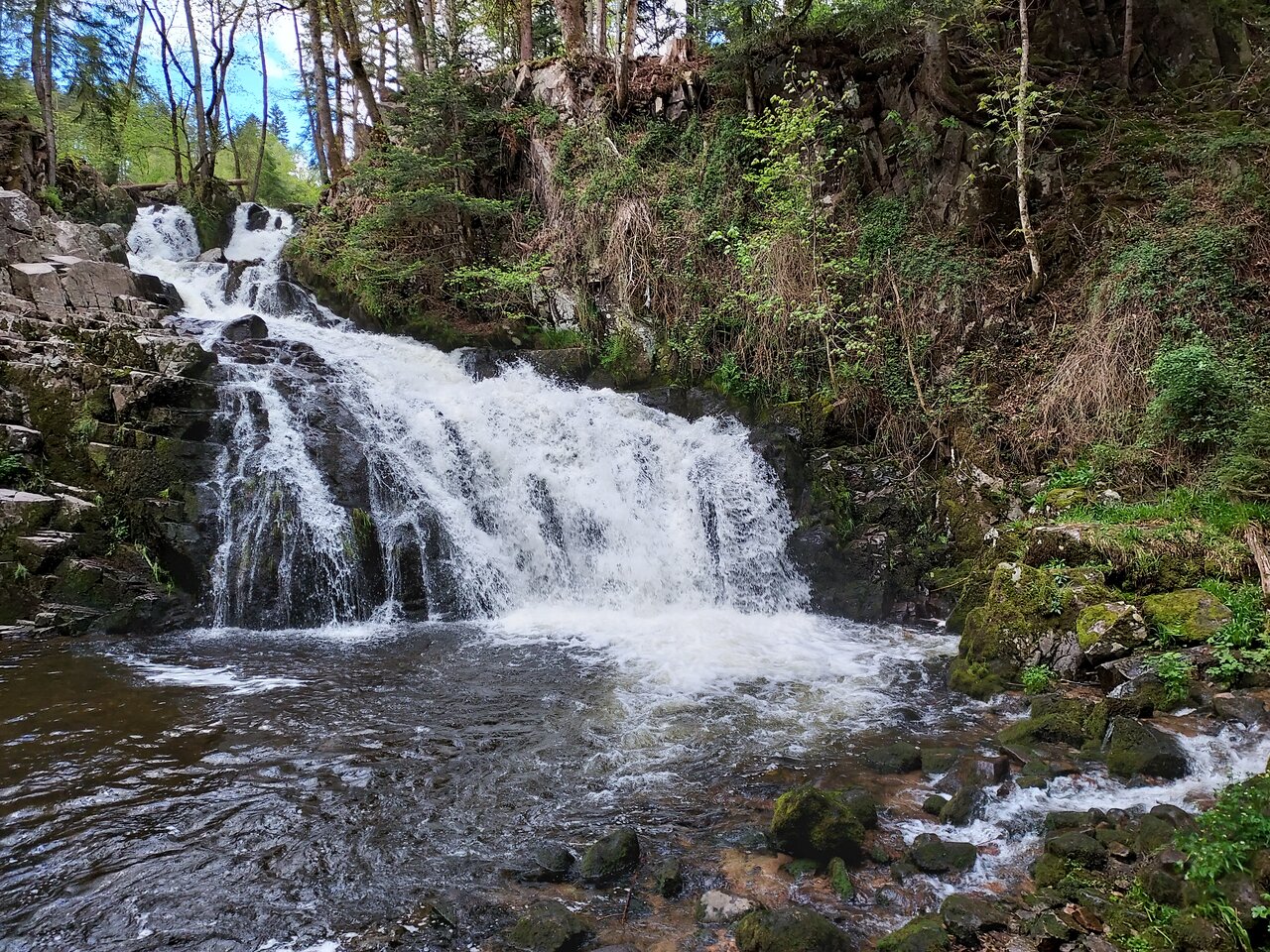
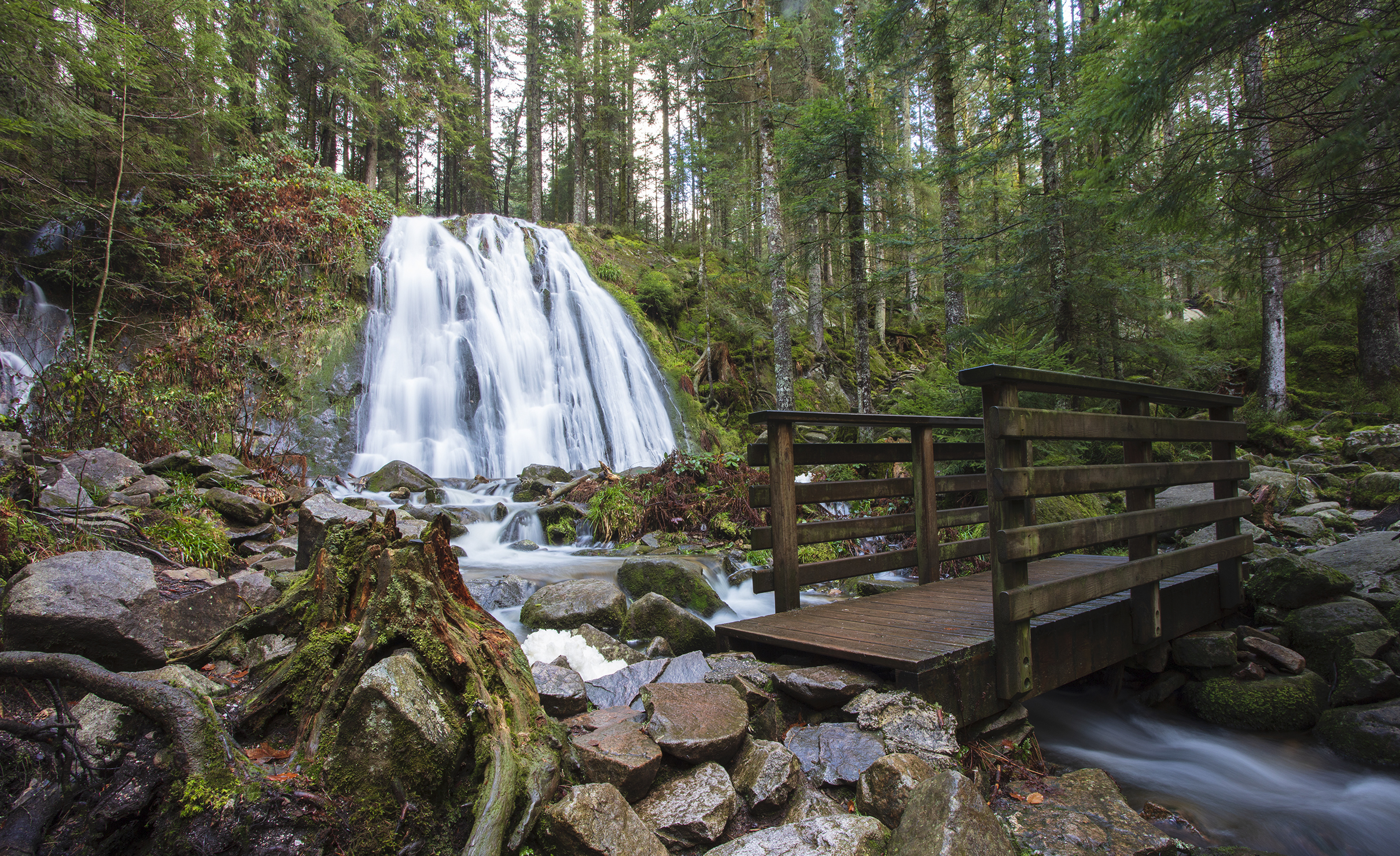
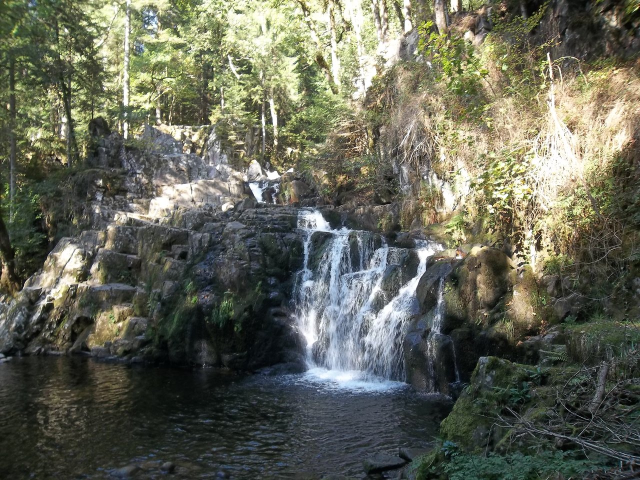
Here is a round trip along a river, in the forest, to the pretty Saut du Bouchot waterfall. Ideal for a family outing.

Already more than 200,000 users!
Uphill
15m
Highest point
487m
Downhill
15m
Lowest point
464m
Route type
There and back
Download the map on your smartphone to save battery and rest assured to always keep access to the route, even without signal.
Includes IGN France and Swisstopo.
I indicate whether dogs are allowed or prohibited on this trail
All year
0 ratings
Also enjoy:

Already more than 200,000 users!