Uphill
455m
France > Grand Est > Bas-Rhin > Vosges du Nord Nature Park
Length
9km
Duration
3h30min
Elev gain
455m
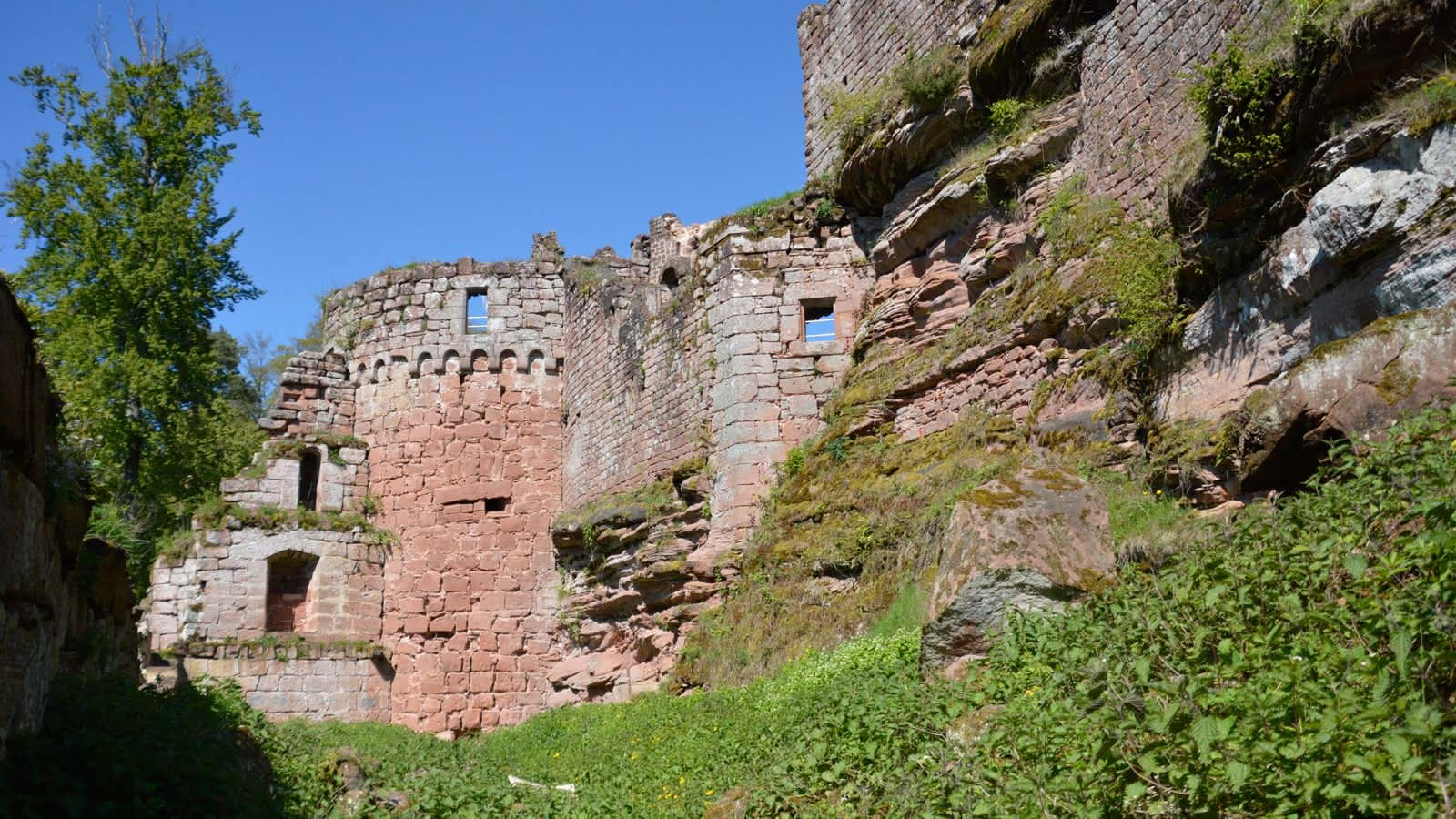
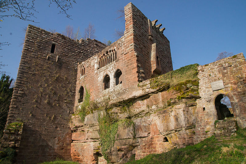
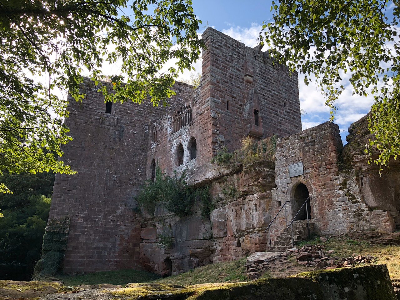
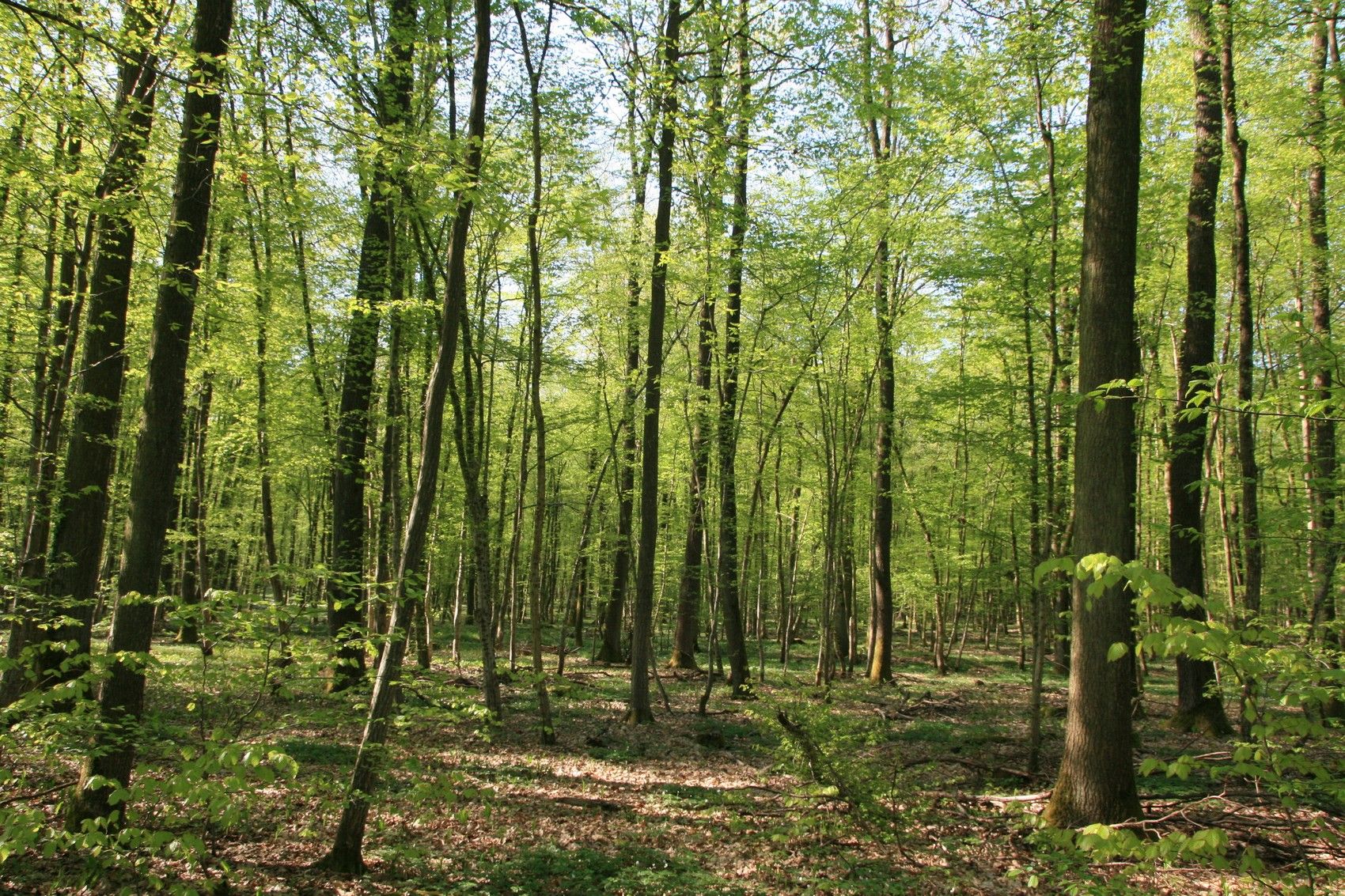
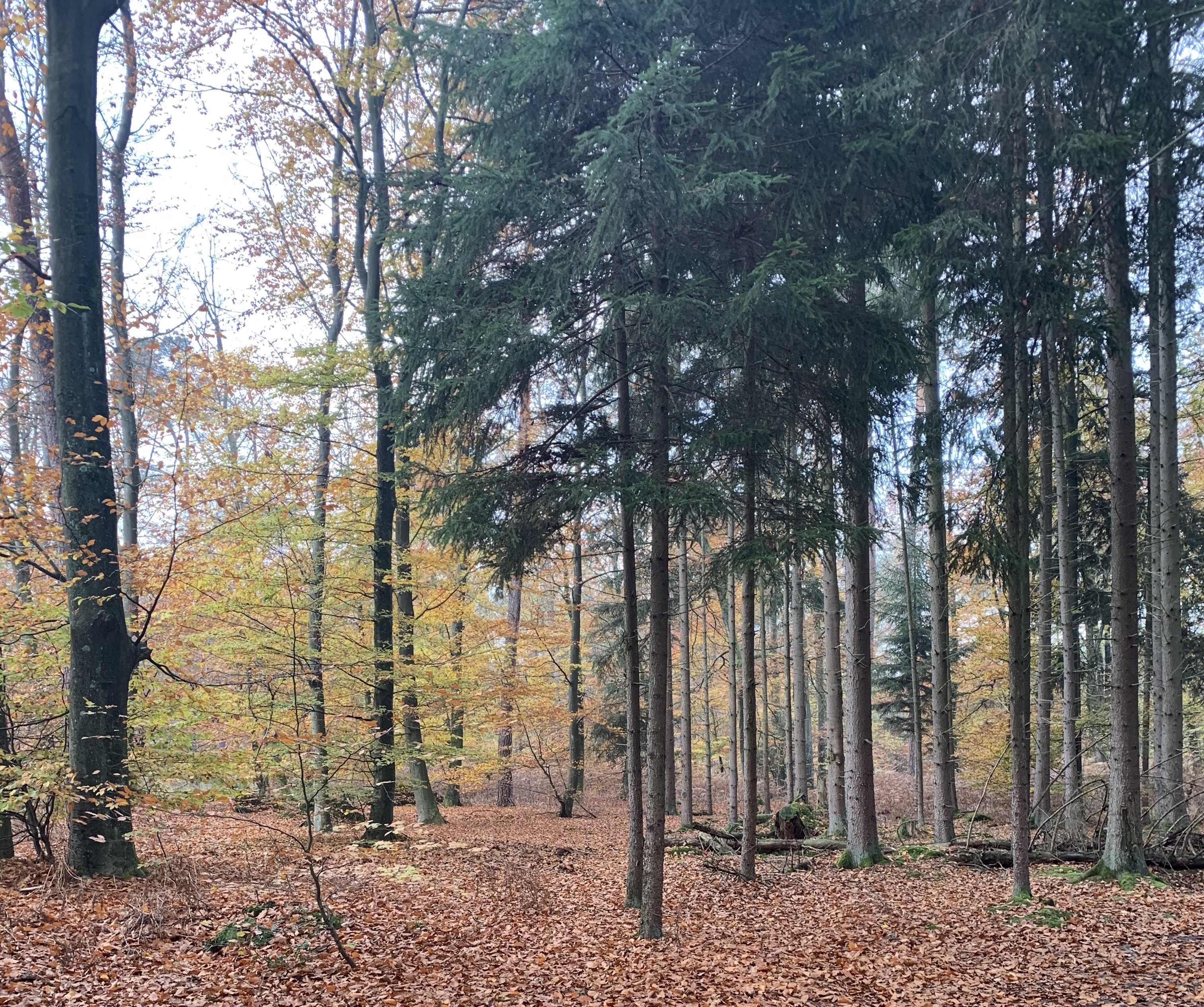
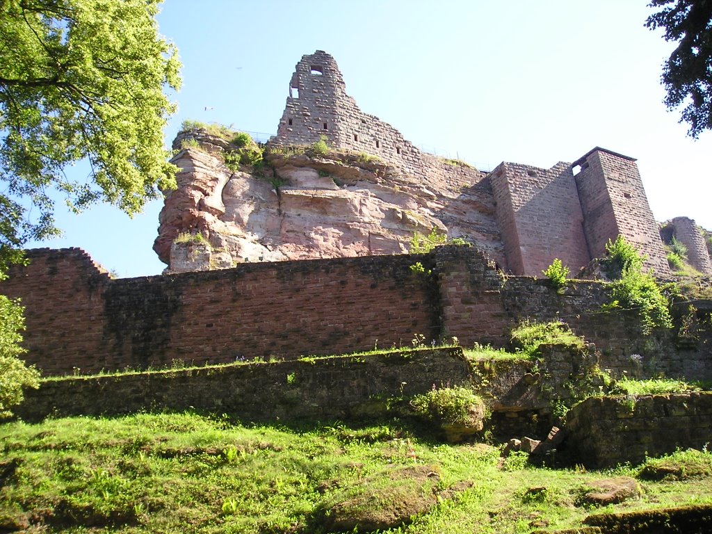
Trail approaching Fleckenstein Castle (entrance fee), before winding through the forest to Nothweiler in Germany. Interesting elevation profile offering several points of view on the Northern Vosges.

Already more than 200,000 users!
Uphill
455m
Highest point
550m
Downhill
455m
Lowest point
265m
Route type
Loop
Download the map on your smartphone to save battery and rest assured to always keep access to the route, even without signal.
Includes IGN France and Swisstopo.
I indicate whether dogs are allowed or prohibited on this trail
All year
0 ratings
Also enjoy:

Already more than 200,000 users!