Uphill
221m
Length
10km
Duration
3h
Elev gain
221m
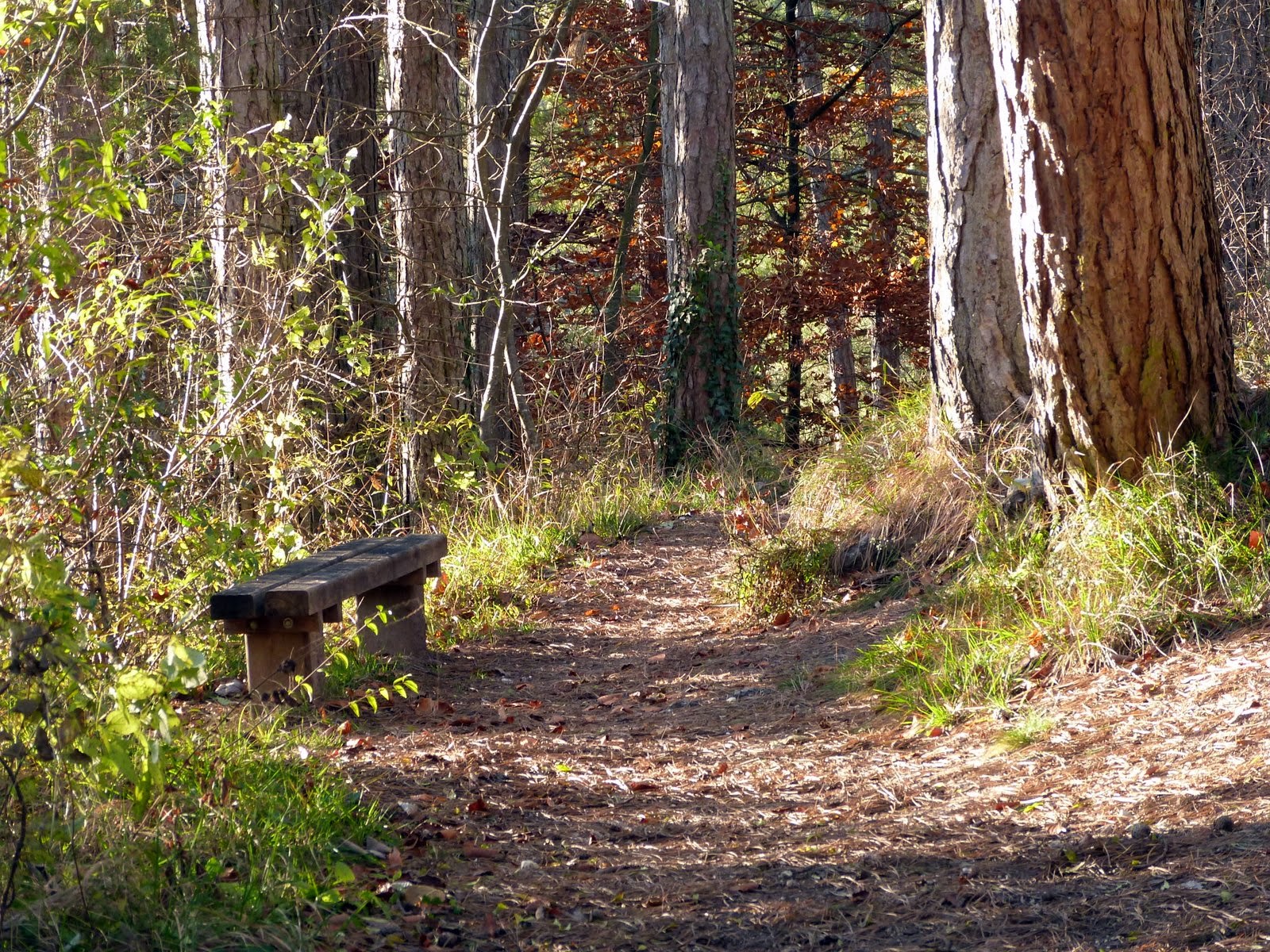
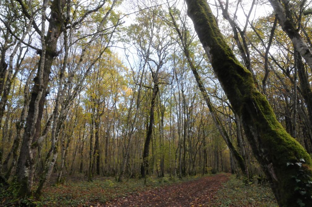
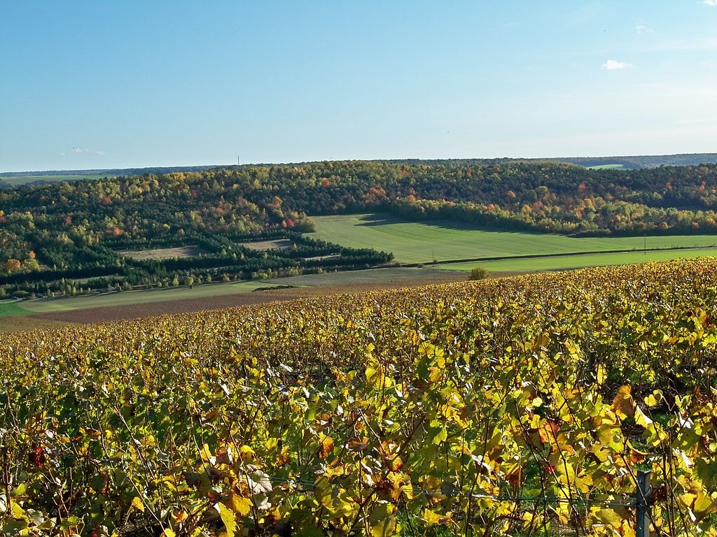
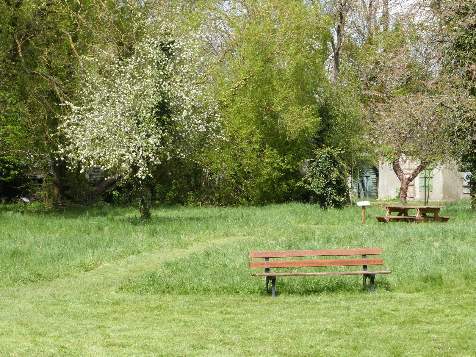
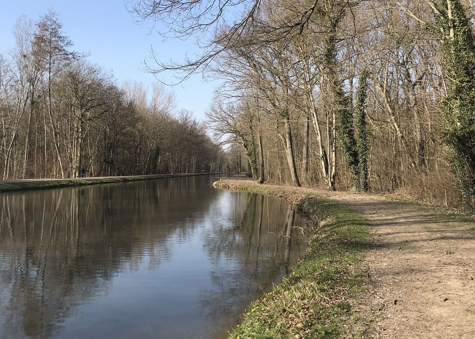
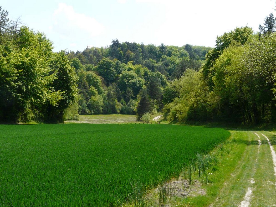
Loop through the communal forest of Souligny, passing through the remains of a Gallo-Roman oppidum. Nice view of the Champagne plain.

Already more than 200,000 users!
Uphill
221m
Highest point
297m
Downhill
221m
Lowest point
184m
Route type
Loop
Download the map on your smartphone to save battery and rest assured to always keep access to the route, even without signal.
Includes IGN France and Swisstopo.
I indicate whether dogs are allowed or prohibited on this trail
All year
0 ratings
Also enjoy:

Already more than 200,000 users!