Uphill
60m
Length
3km
Duration
1h
Elev gain
60m
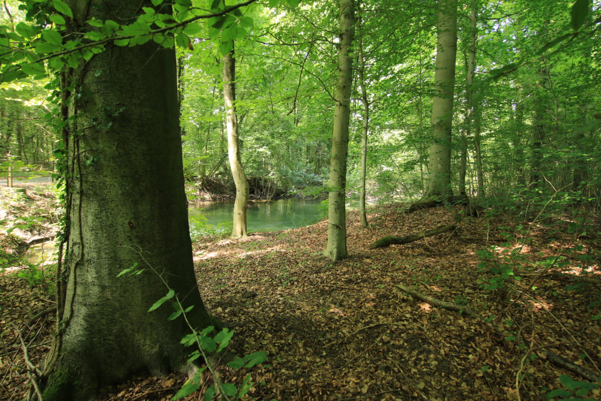
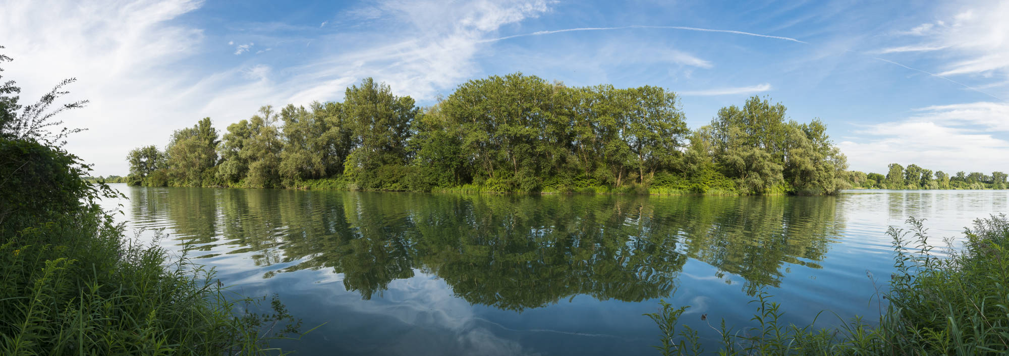
Leaving aside the industrial environment and the few electricity pylons, this path within the nature reserve of Rohrschollen Island offers a pleasant change of scenery. A stone's throw from Strasbourg are marshes, meadows and forests, all on the banks of the Rhine.

Already more than 200,000 users!
Uphill
60m
Highest point
154m
Downhill
60m
Lowest point
99m
Route type
Loop
Download the map on your smartphone to save battery and rest assured to always keep access to the route, even without signal.
Includes IGN France and Swisstopo.
I indicate whether dogs are allowed or prohibited on this trail
All year
2 ratings
Also enjoy:

Already more than 200,000 users!