Uphill
107m
Length
6km
Duration
2h
Elev gain
107m
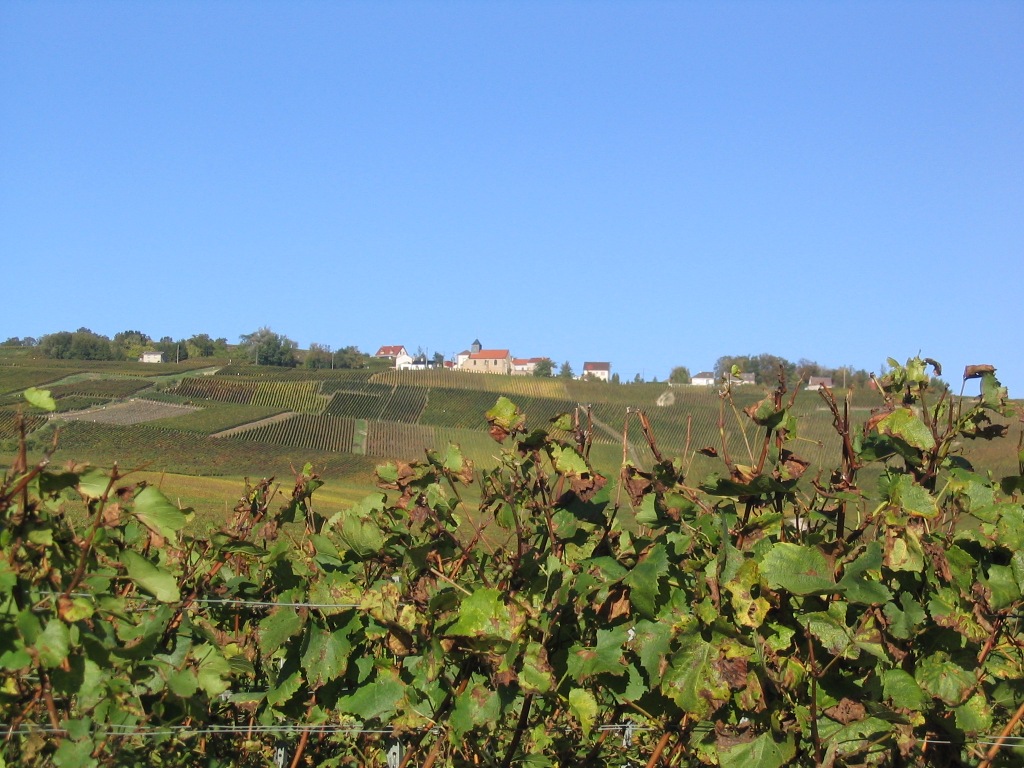
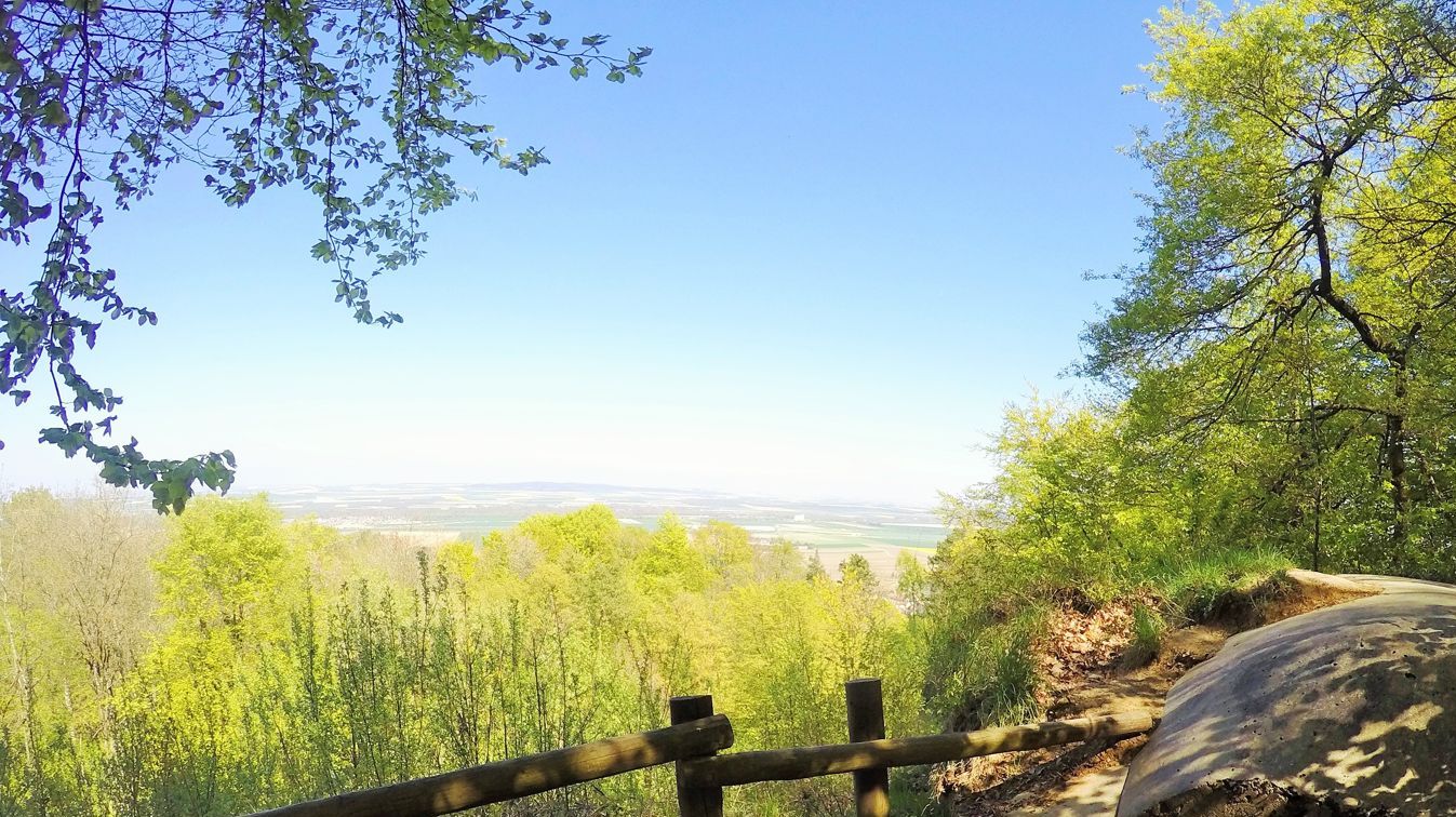
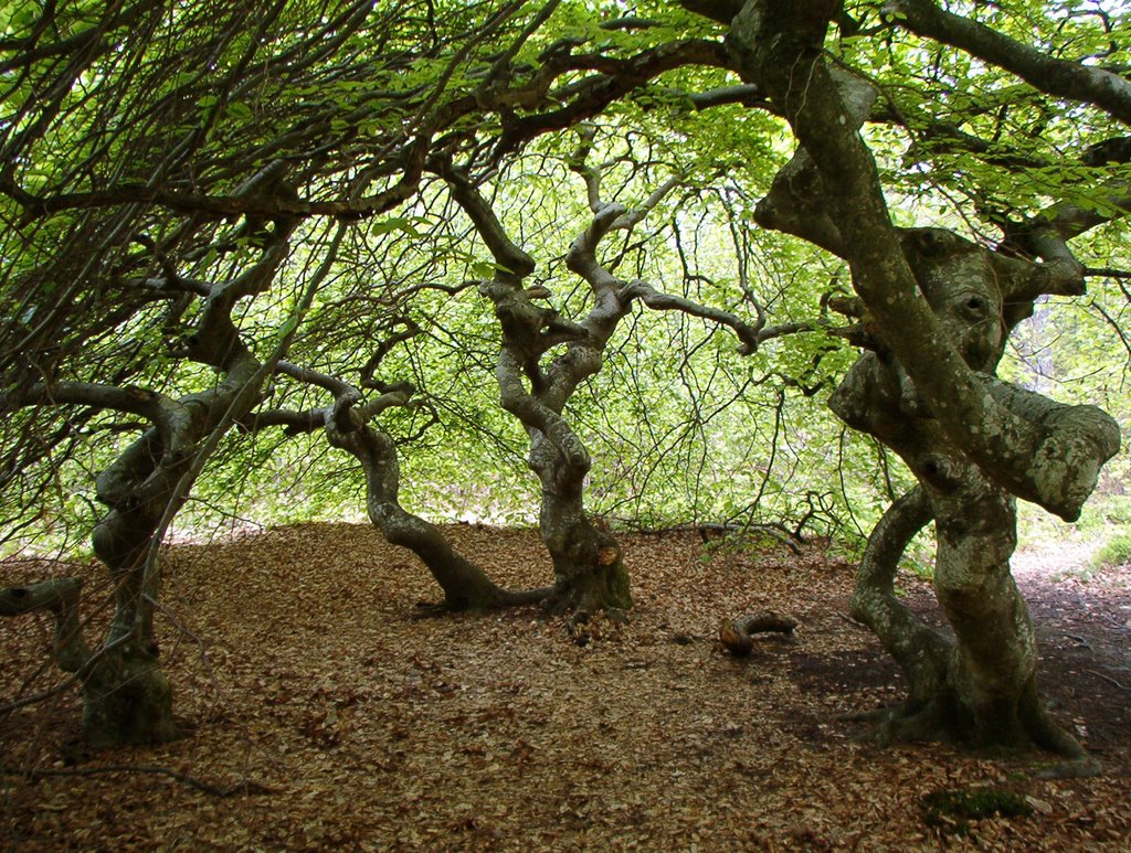
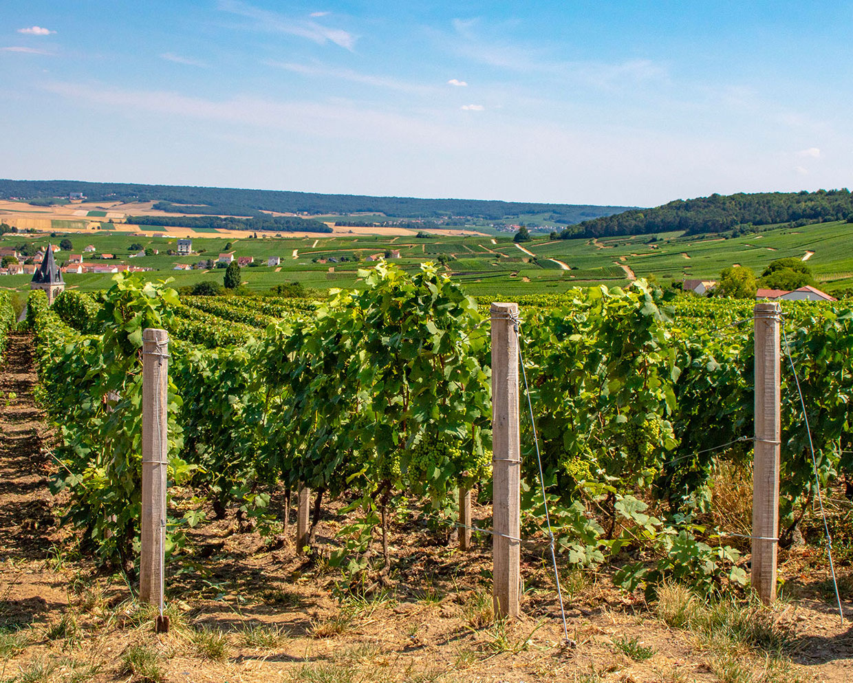
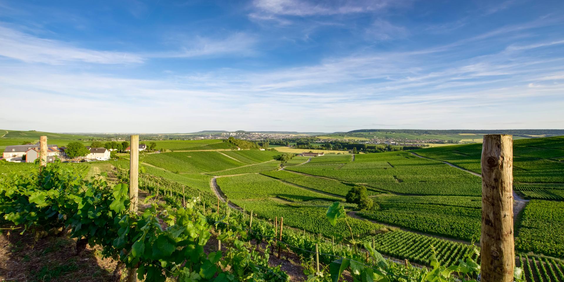
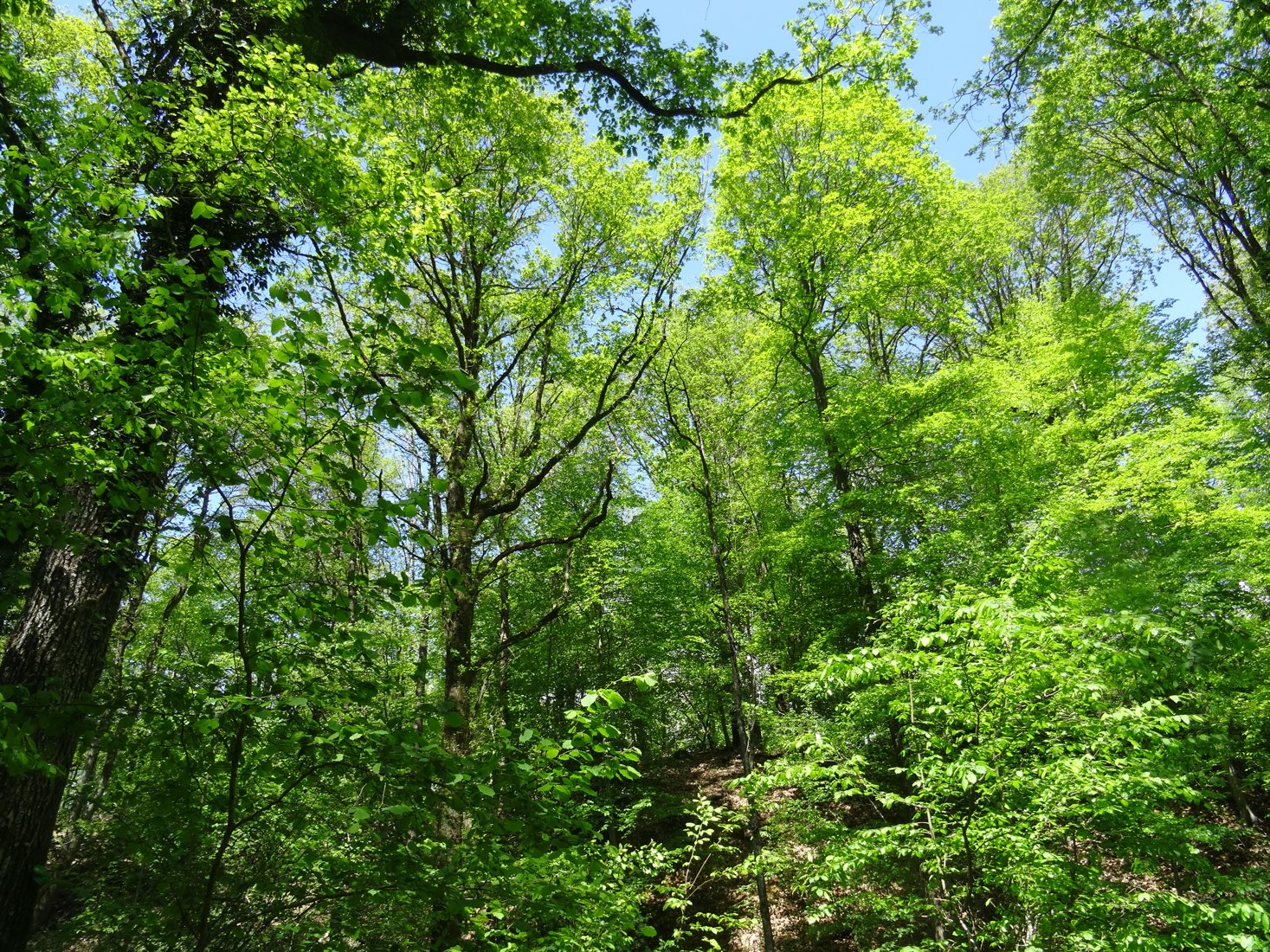
Walk in the forest near Rilly-la-Montagne, above a railway tunnel. Straight path but pretty nature.

Already more than 200,000 users!
Uphill
107m
Highest point
280m
Downhill
107m
Lowest point
202m
Route type
Loop
Download the map on your smartphone to save battery and rest assured to always keep access to the route, even without signal.
Includes IGN France and Swisstopo.
I indicate whether dogs are allowed or prohibited on this trail
All year
2 ratings
Also enjoy:

Already more than 200,000 users!