Uphill
252m
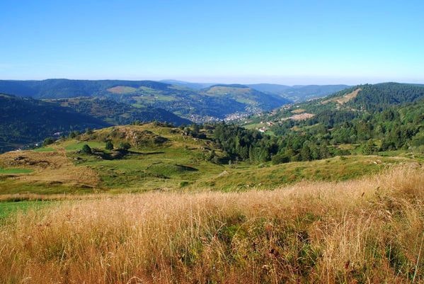
France > Grand Est > Vosges > Ballons des Vosges Regional Natural Park
Length
7km
Duration
2h30min
Elev gain
252m
Departing from Hautes Vannes, this hike takes place partly in the middle of the Croix Claudé ski area. The route makes a loop, first passing through the rock of Bioquets (1,091m) then continues to the head of Grouvelin at 1,137 meters above sea level.

Already more than 200,000 users!
Uphill
252m
Highest point
1137m
Downhill
252m
Lowest point
967m
Route type
Loop
Download the map on your smartphone to save battery and rest assured to always keep access to the route, even without signal.
Includes IGN France and Swisstopo.
I indicate whether dogs are allowed or prohibited on this trail
Can be difficult in Winter
0 ratings
Also enjoy:

Already more than 200,000 users!


