Uphill
275m
Length
4km
Duration
2h
Elev gain
275m
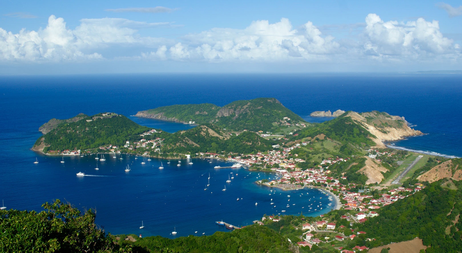
Ascent of the highest point of Les Saintes, which allows you to enjoy a superb view of the surroundings. The way up is on a paved road not used by vehicles, and the return is via a fairly steep path.

Already more than 200,000 users!
Uphill
275m
Highest point
298m
Downhill
275m
Lowest point
19m
Route type
Loop
Download the map on your smartphone to save battery and rest assured to always keep access to the route, even without signal.
Includes IGN France and Swisstopo.
I indicate whether dogs are allowed or prohibited on this trail
All year
1 rating
Super point de vue sur les îles des Saintes ! Paradisiaque 🏝️
Also enjoy:

Already more than 200,000 users!


