Uphill
67m
Length
3km
Duration
1h
Elev gain
67m
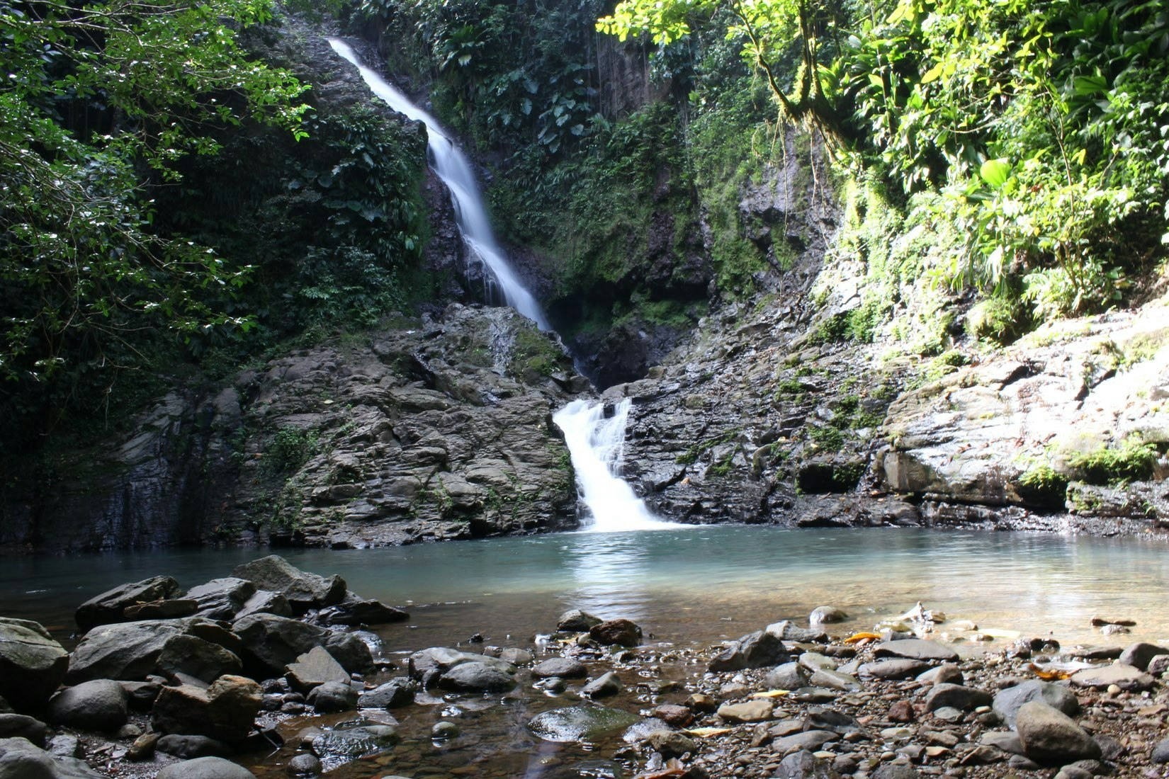
Short walk in the forest, to reach a waterfall where it is possible to bathe. Please note: the path partly follows the banks of a river, to be avoided in the event of heavy rains.

Already more than 200,000 users!
Uphill
67m
Highest point
122m
Downhill
66m
Lowest point
62m
Route type
There and back
Download the map on your smartphone to save battery and rest assured to always keep access to the route, even without signal.
Includes IGN France and Swisstopo.
I indicate whether dogs are allowed or prohibited on this trail
Difficult after heavy rains
0 ratings
Also enjoy:

Already more than 200,000 users!


