Uphill
587m
Length
11km
Duration
4h30min
Elev gain
587m
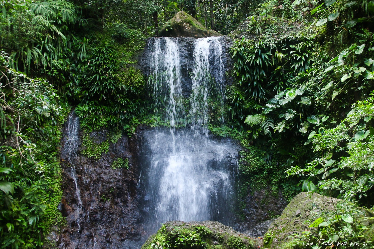
Here is a sporty hike from Sainte-Rose. The route leads to Tête Allègre, a summit located 715 meters above sea level, with a short stop at the charming Trois Cornes waterfall.

Already more than 200,000 users!
Uphill
587m
Highest point
755m
Downhill
587m
Lowest point
275m
Route type
Loop
Download the map on your smartphone to save battery and rest assured to always keep access to the route, even without signal.
Includes IGN France and Swisstopo.
I indicate whether dogs are allowed or prohibited on this trail
All year
0 ratings
Also enjoy:

Already more than 200,000 users!


