Uphill
160m
France > Hauts-de-France > Somme > Regional Natural Park of Baie de Somme
Length
6km
Duration
2h
Elev gain
160m
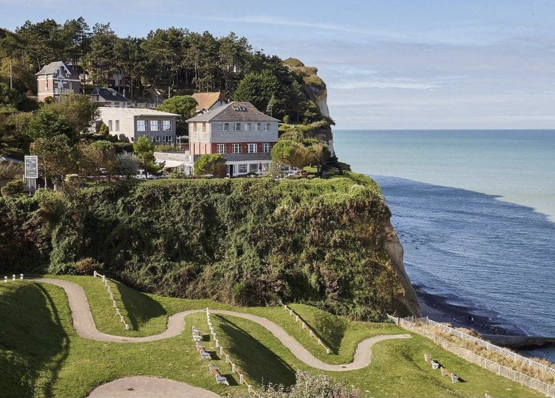
Departing from Ault, here is a walk along the cliffs offering superb views. The path joins the Bois de Cise and its pretty villas, where it is possible to access the beach, before returning to the starting point through the countryside.

Already more than 200,000 users!
Uphill
160m
Highest point
95m
Downhill
160m
Lowest point
24m
Route type
Loop
Download the map on your smartphone to save battery and rest assured to always keep access to the route, even without signal.
Includes IGN France and Swisstopo.
I indicate whether dogs are allowed or prohibited on this trail
All year
4 ratings
Also enjoy:

Already more than 200,000 users!


