Uphill
146m

Length
14km
Duration
4h
Elev gain
146m
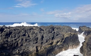
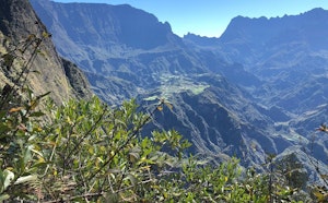
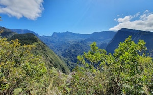
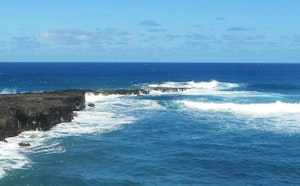
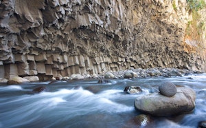
This long walk in the heart of the Etang-Salé forest takes place on a wild path which offers varied views, both on land and on the sea.

Already more than 200,000 users!
Uphill
146m
Highest point
138m
Downhill
146m
Lowest point
7m
Route type
Loop
Download the map on your smartphone to save battery and rest assured to always keep access to the route, even without signal.
Includes IGN France and Swisstopo.
I indicate whether dogs are allowed or prohibited on this trail
All year
1 rating
Revoir le balisage en début de parcours
Also enjoy:

Already more than 200,000 users!