Uphill
669m
Length
5km
Duration
4h
Elev gain
669m
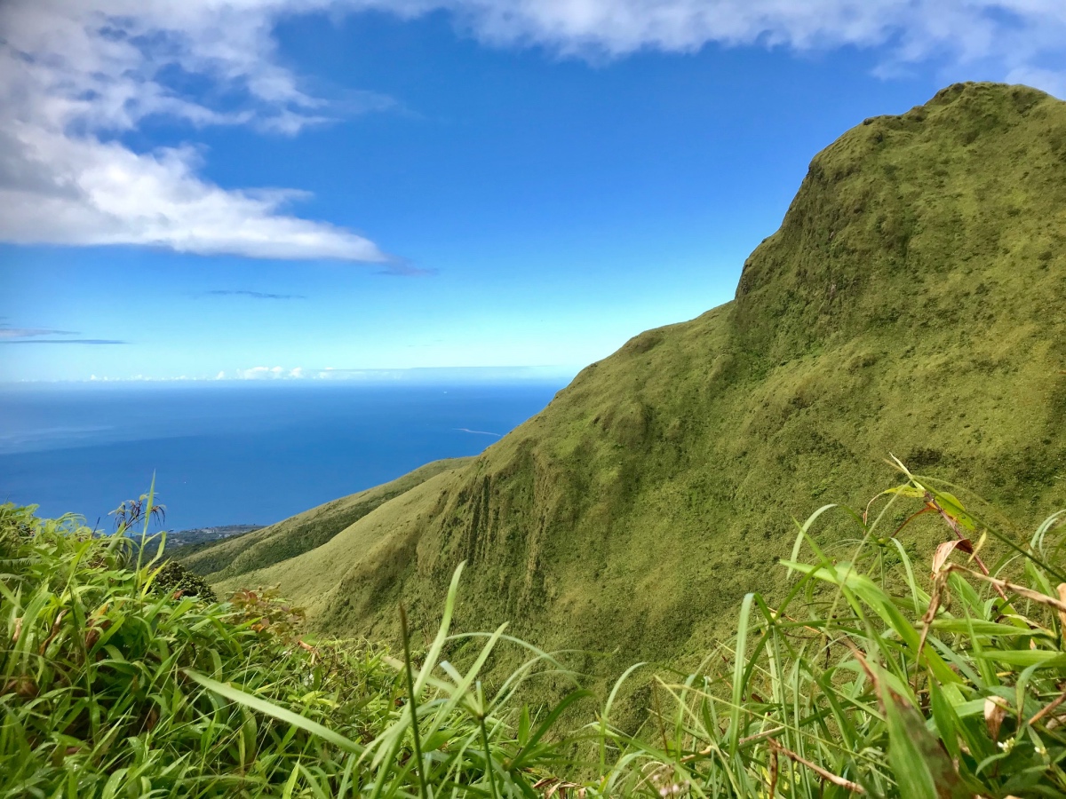
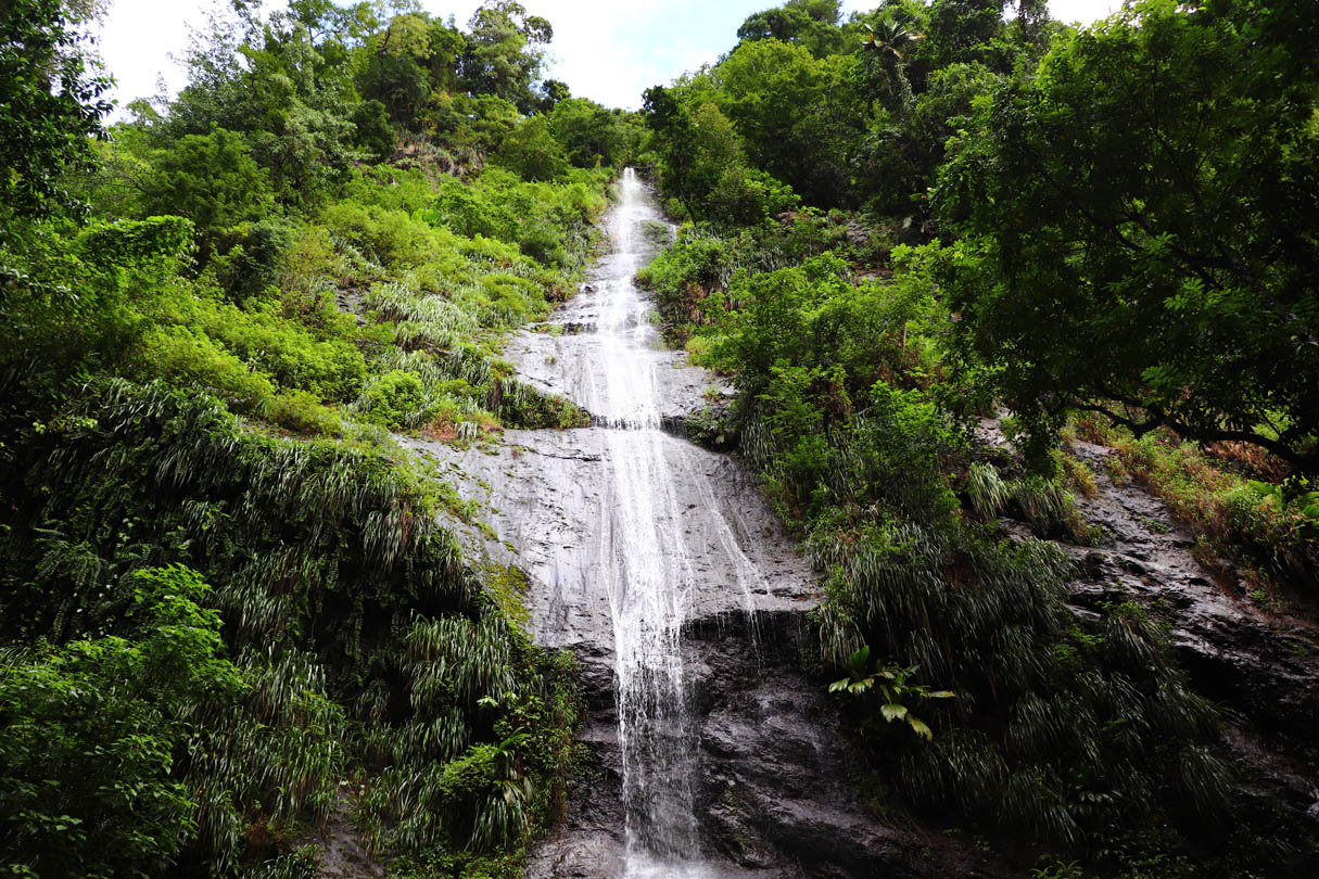
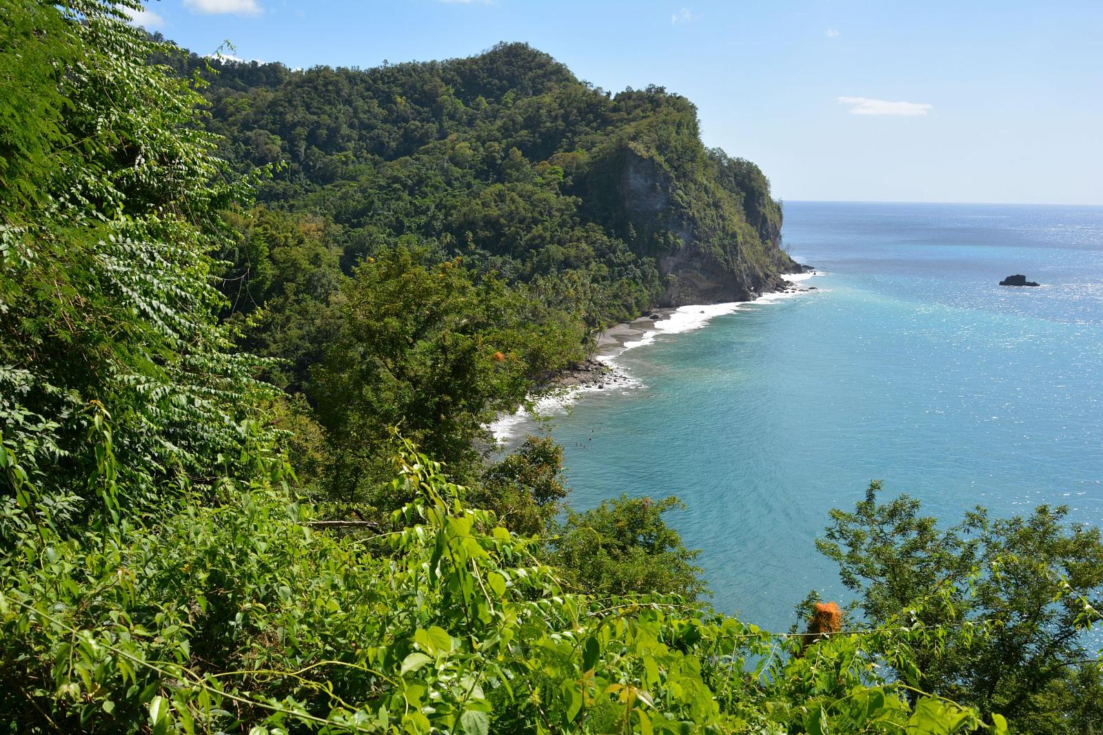
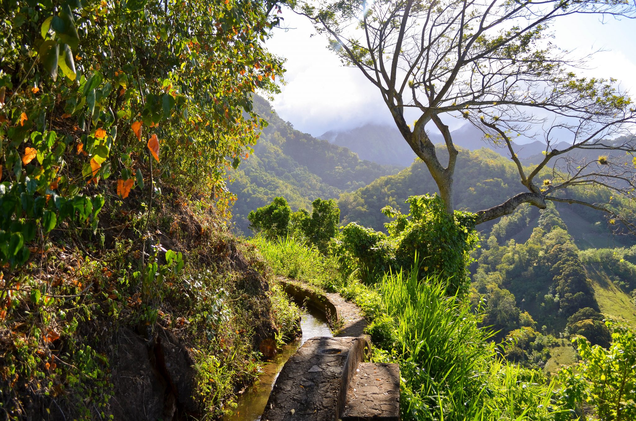
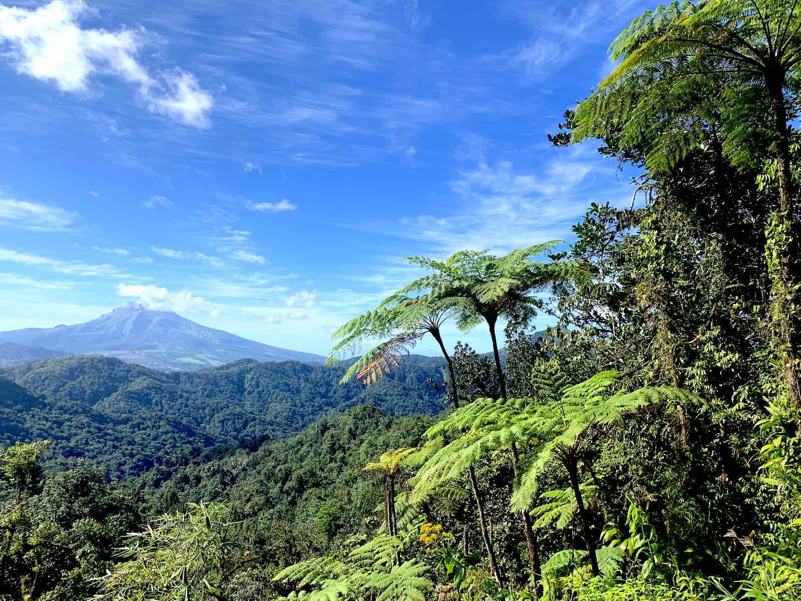
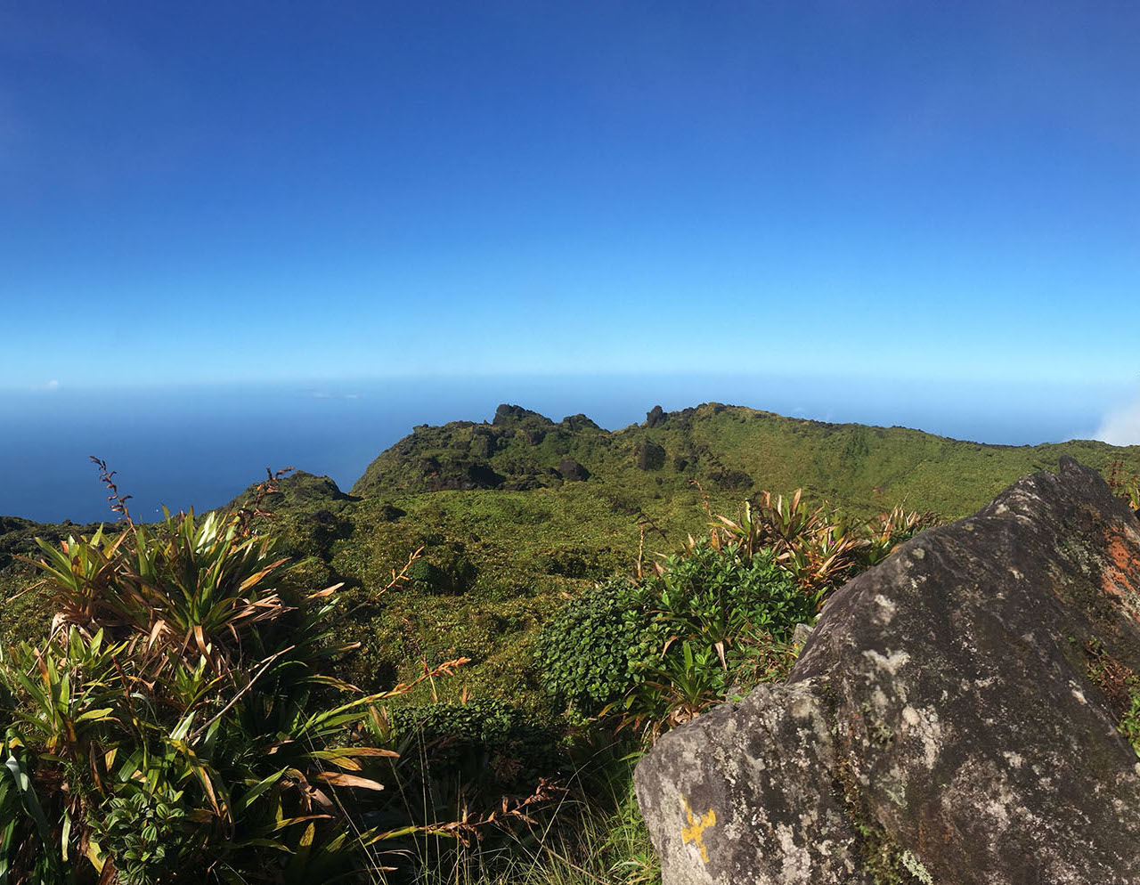
Here is a beautiful hike that starts with the ascent of Mount Pelée (1,397 m), the highest point in Martinique. This relatively steep trail offers unique views the whole way, but has some smooth wet rocks. Once at the top, we take advantage of the superb view before heading back to the starting point.

Already more than 200,000 users!
Uphill
669m
Highest point
1392m
Downhill
669m
Lowest point
694m
Route type
There and back
Download the map on your smartphone to save battery and rest assured to always keep access to the route, even without signal.
Includes IGN France and Swisstopo.
I indicate whether dogs are allowed or prohibited on this trail
All year except during volcanic eruptions 🌋
0 ratings
Also enjoy:

Already more than 200,000 users!