Uphill
35m
Length
5km
Duration
1h30min
Elev gain
35m
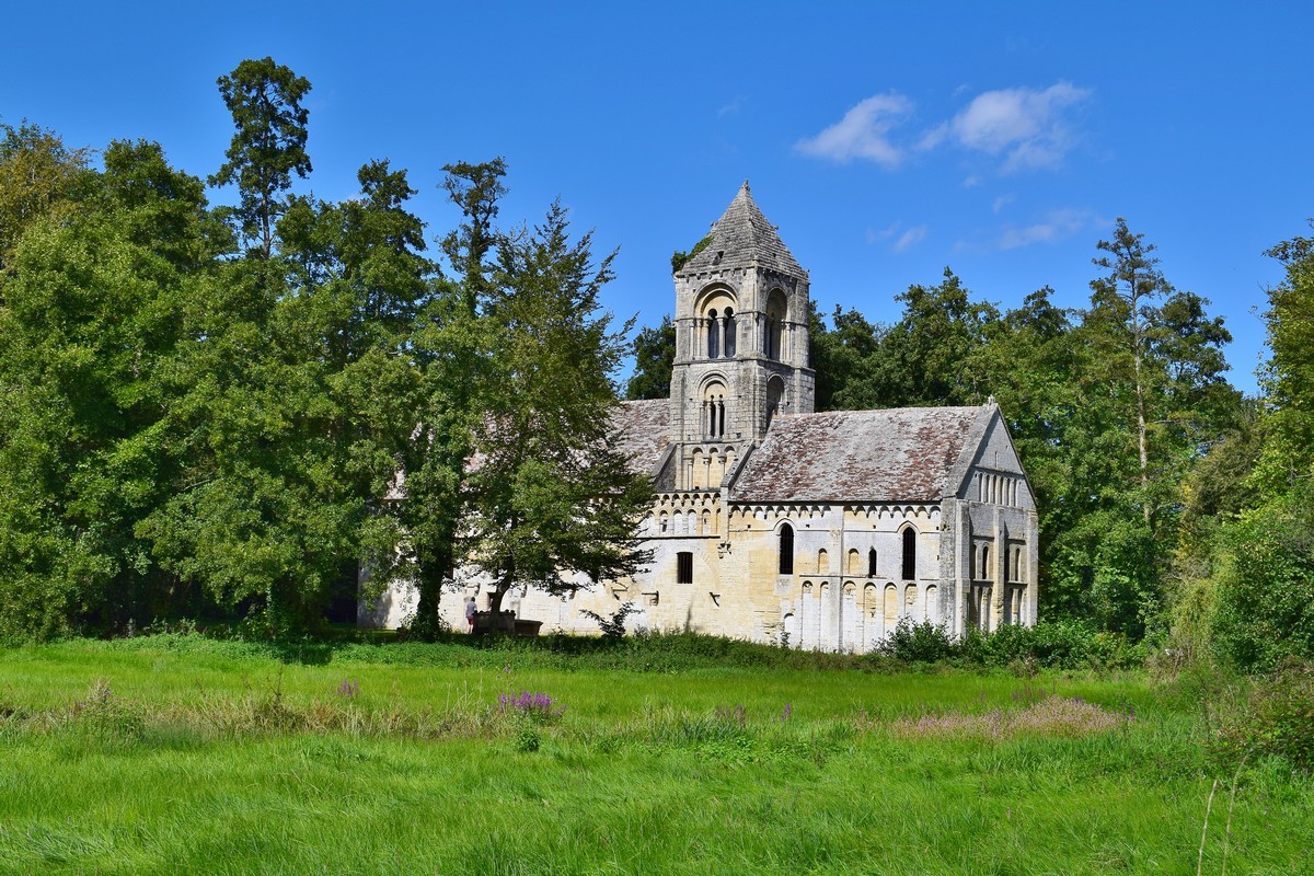
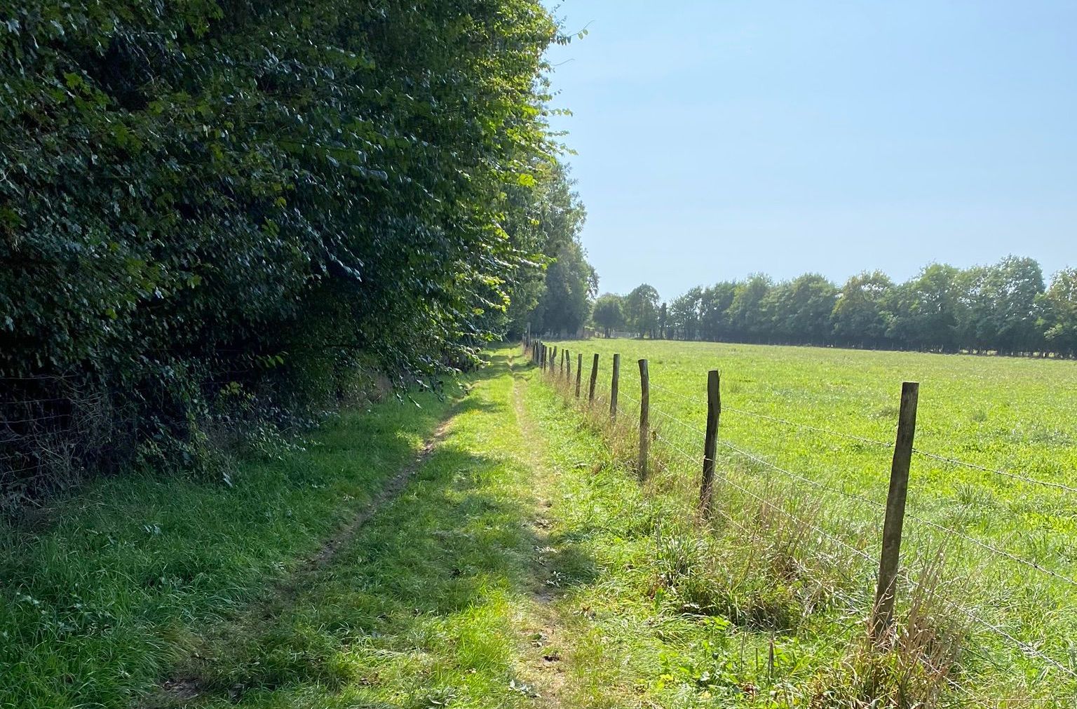
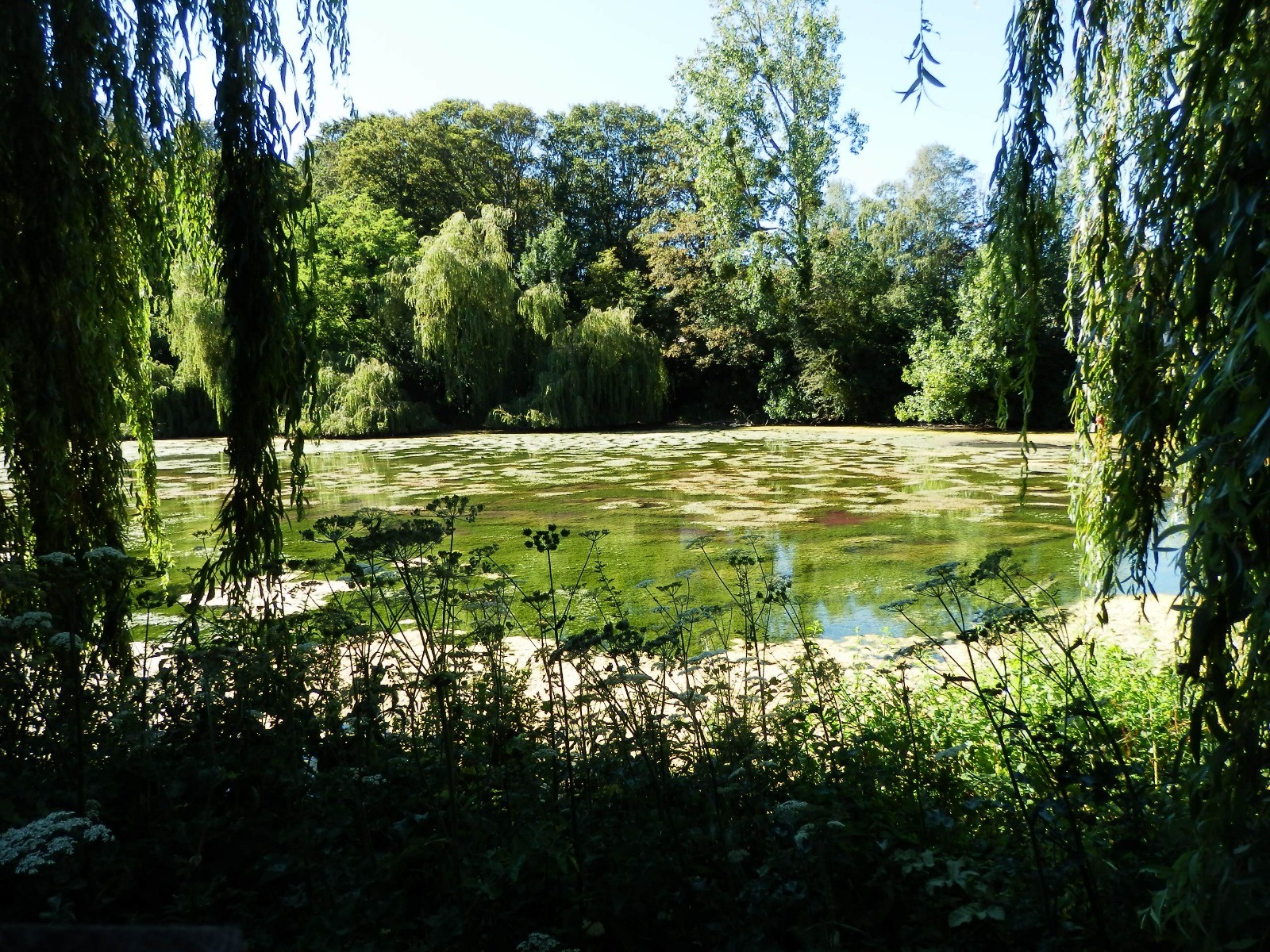
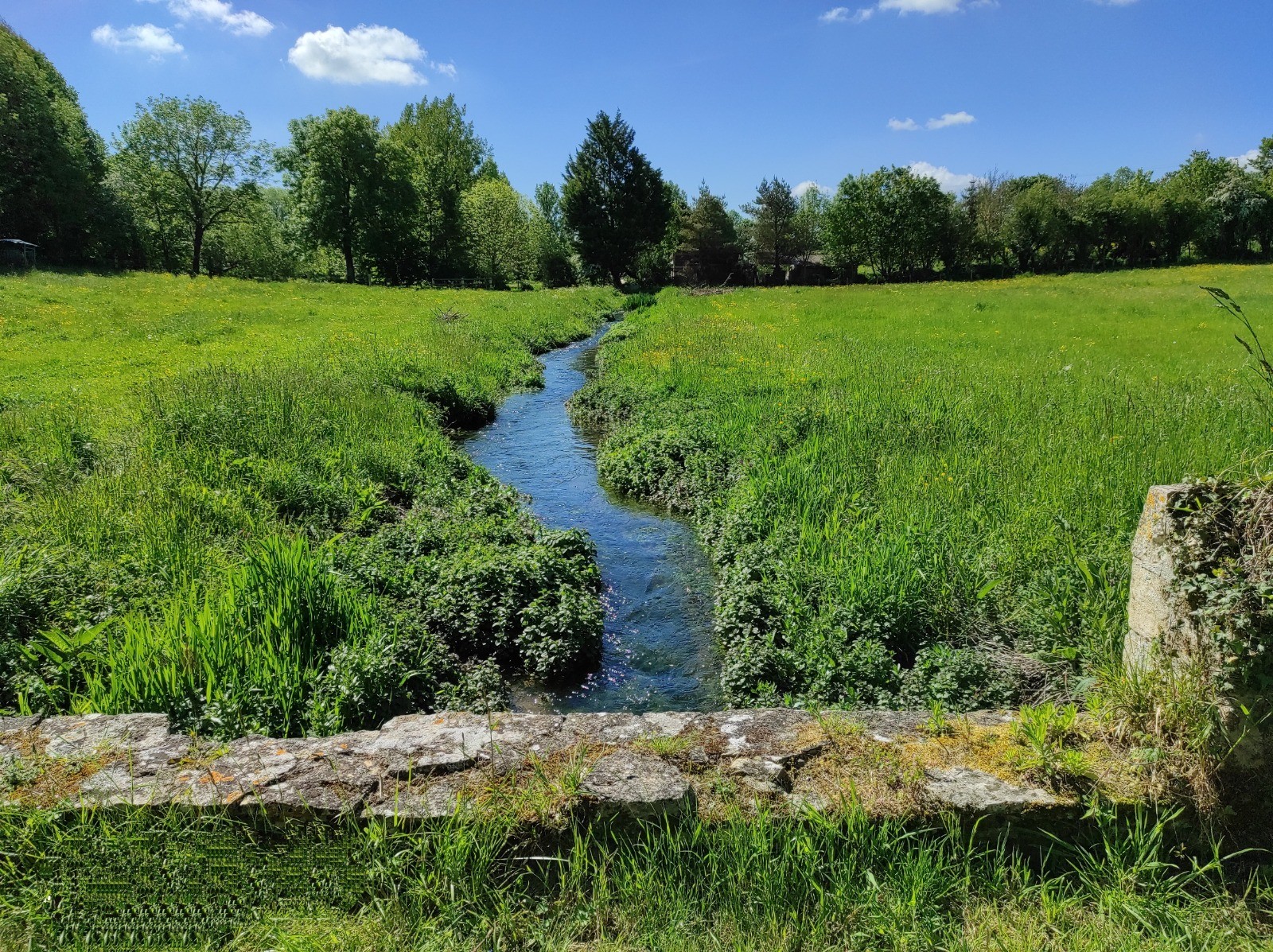
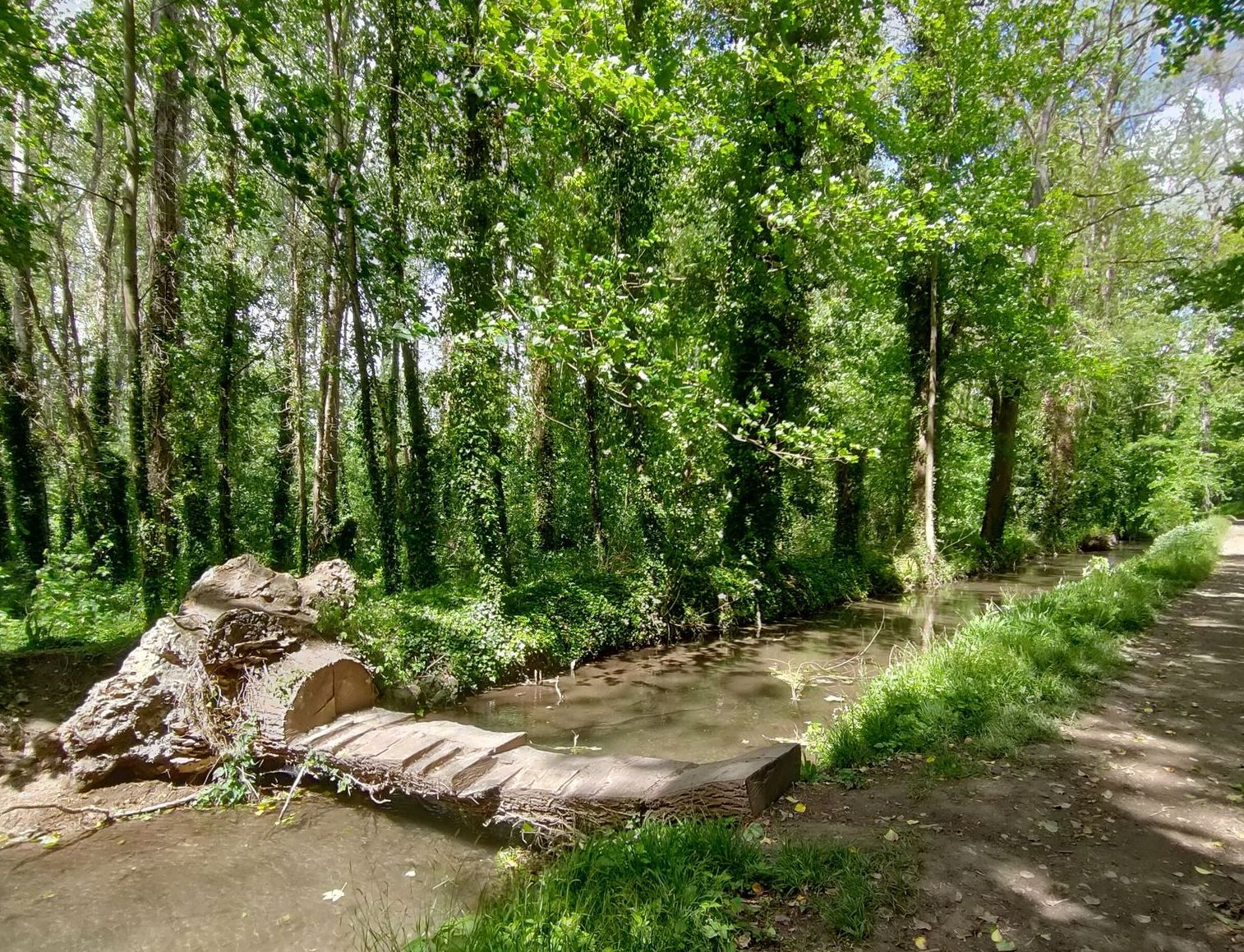
Nice hike around Bombanville. The trail follows a wooded path before reaching a clearing and a beautiful pond. The return is via a little used and wooded road, all in a pleasant setting.

Already more than 200,000 users!
Uphill
35m
Highest point
60m
Downhill
35m
Lowest point
19m
Route type
Loop
Download the map on your smartphone to save battery and rest assured to always keep access to the route, even without signal.
Includes IGN France and Swisstopo.
I indicate whether dogs are allowed or prohibited on this trail
All year
1 rating
Also enjoy:

Already more than 200,000 users!