Uphill
0m
Length
4km
Duration
1h
Elev gain
0m
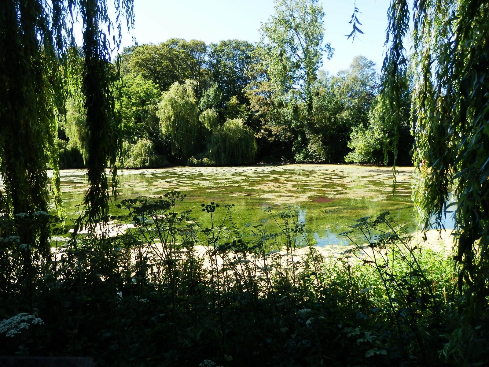
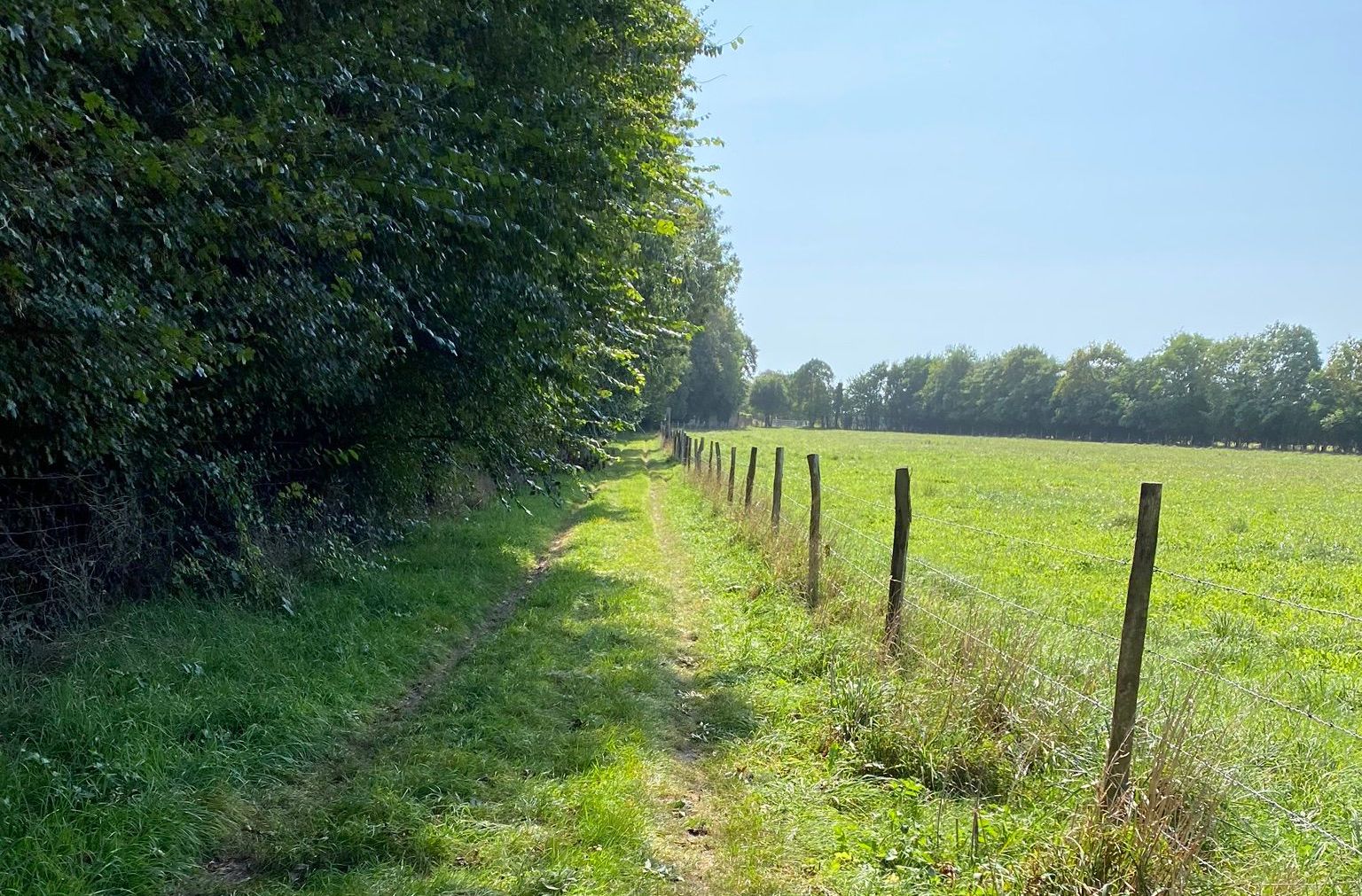
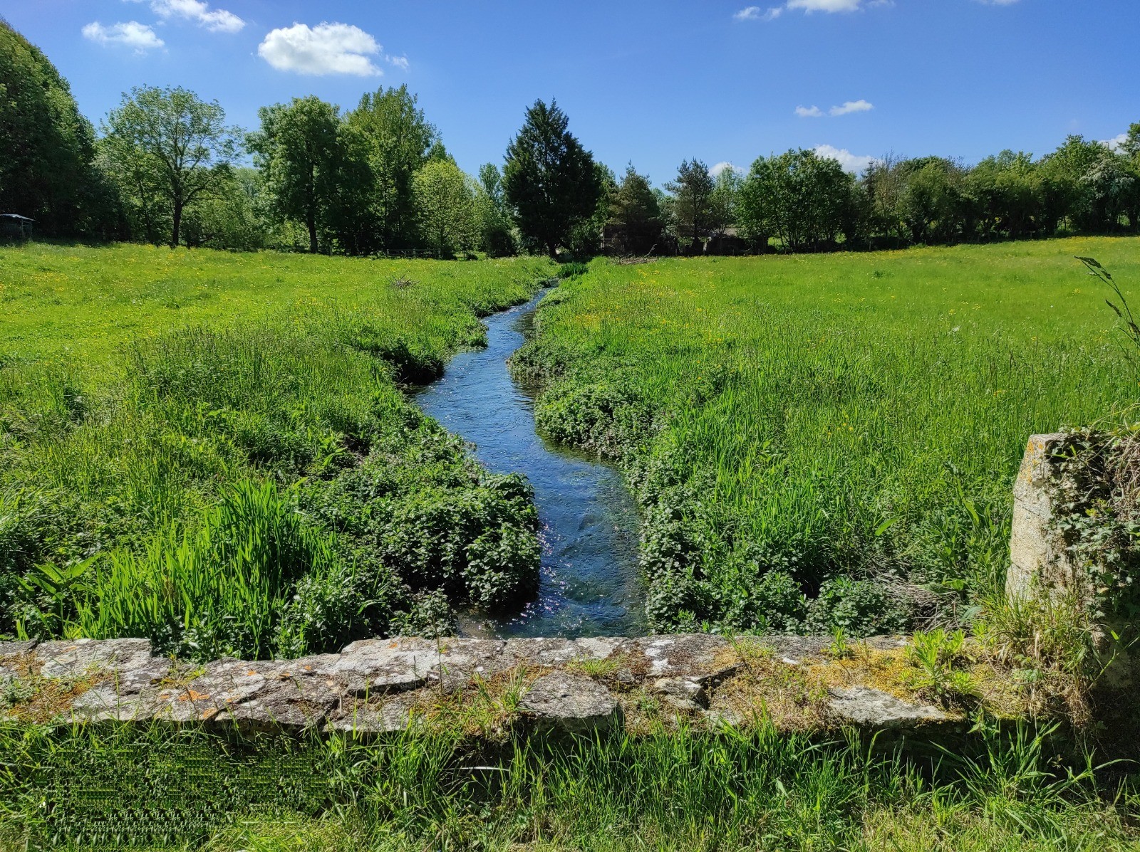
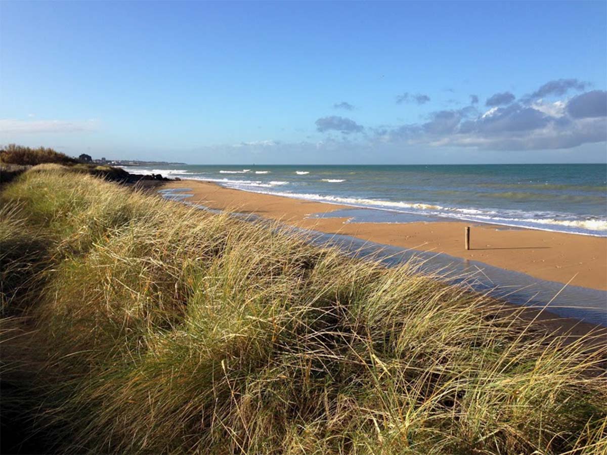
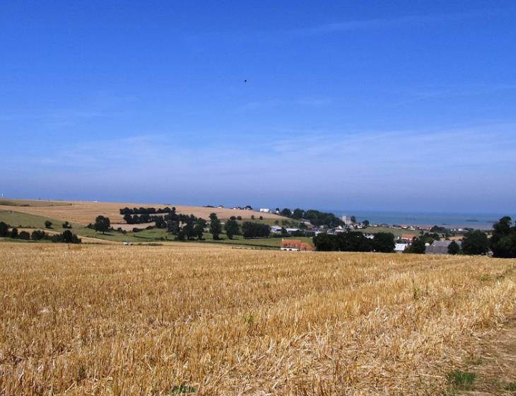
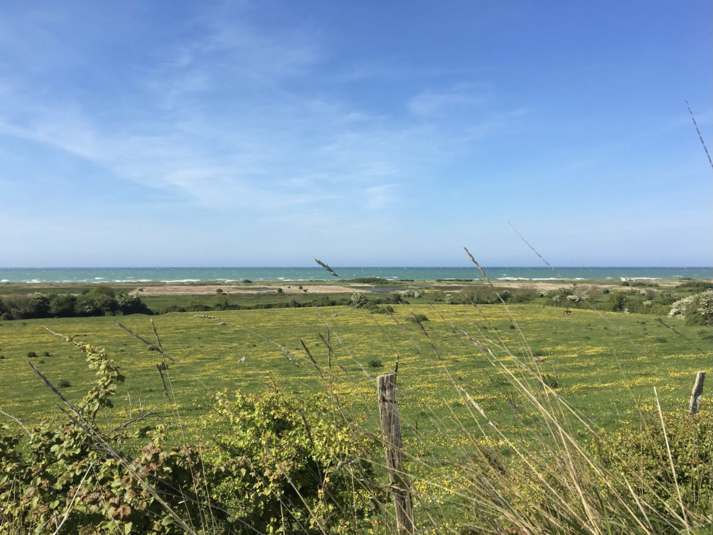
This trail allows you to discover the marshes of Vers-sur-Mer on one side, and the beach of Meuvaines on the other.
The artificial harbor of Arromanches is also visible in the background.

Already more than 200,000 users!
Uphill
0m
Highest point
10m
Downhill
0m
Lowest point
6m
Route type
There and back
Download the map on your smartphone to save battery and rest assured to always keep access to the route, even without signal.
Includes IGN France and Swisstopo.
I indicate whether dogs are allowed or prohibited on this trail
All year
0 ratings
Also enjoy:

Already more than 200,000 users!