Uphill
258m
Length
12km
Duration
3h30min
Elev gain
258m
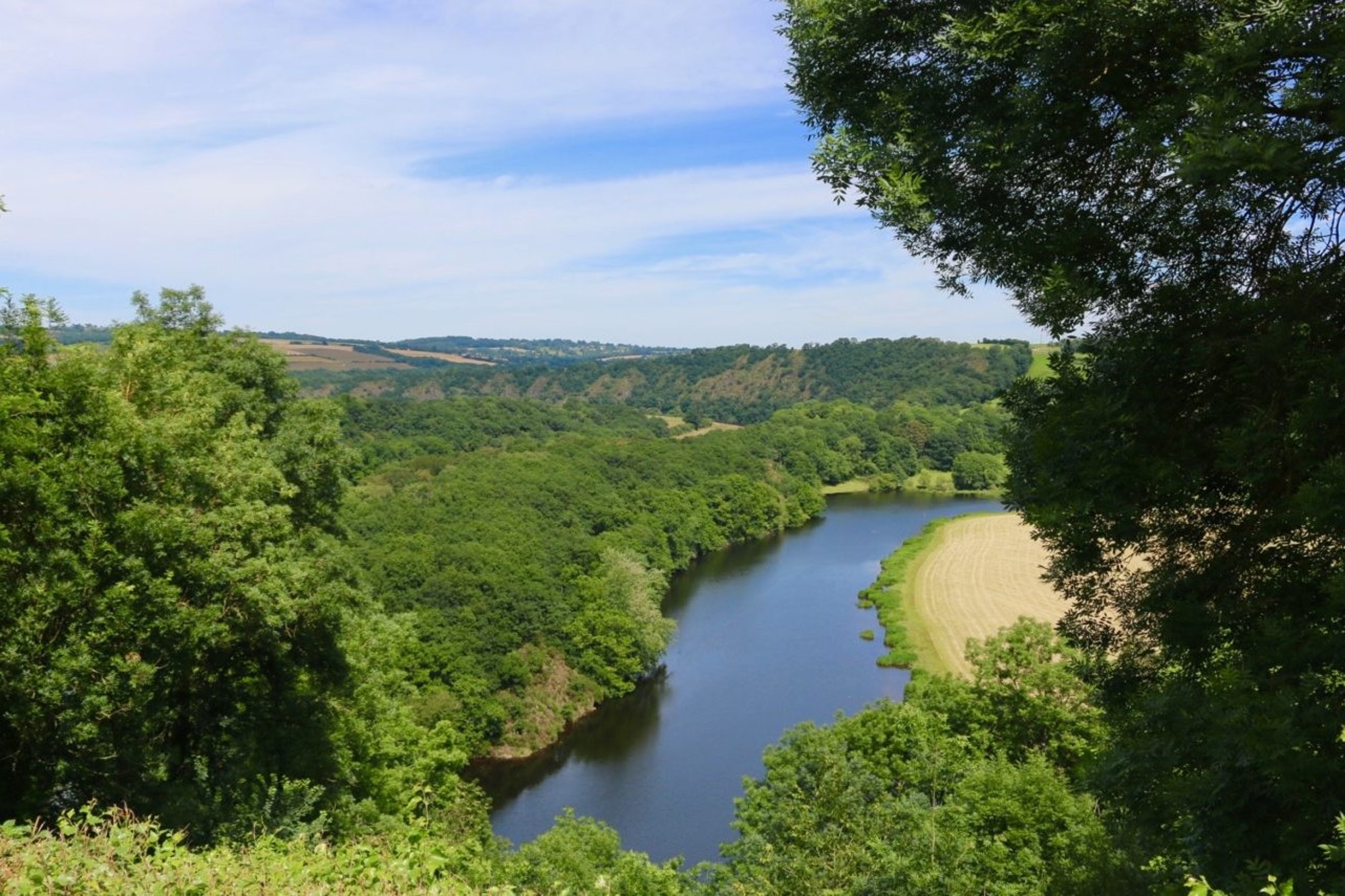
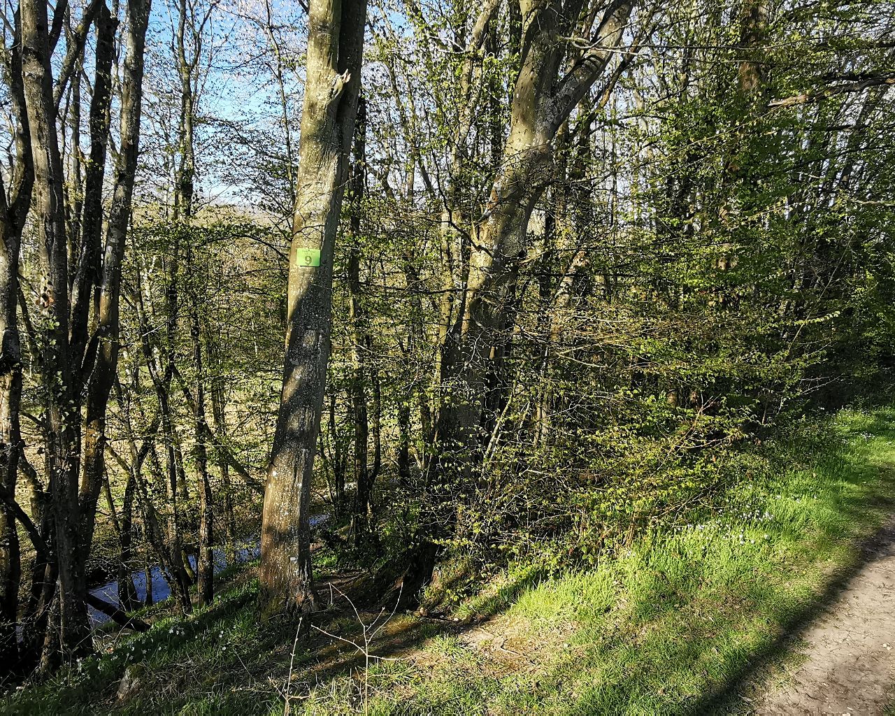
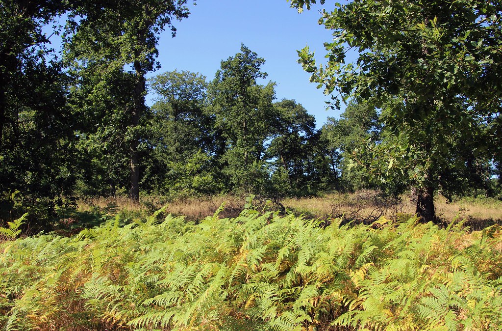
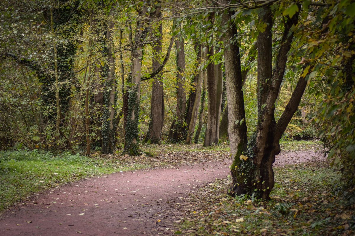
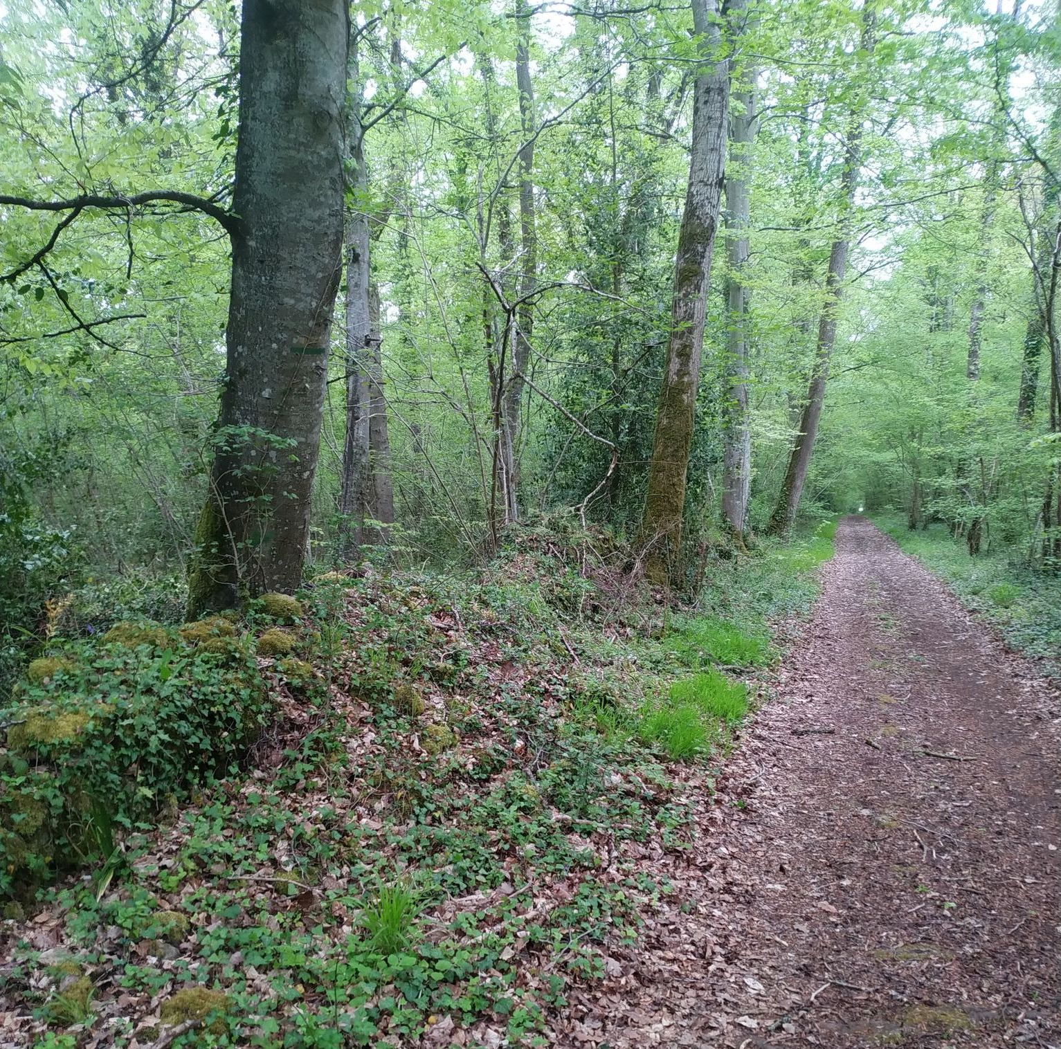
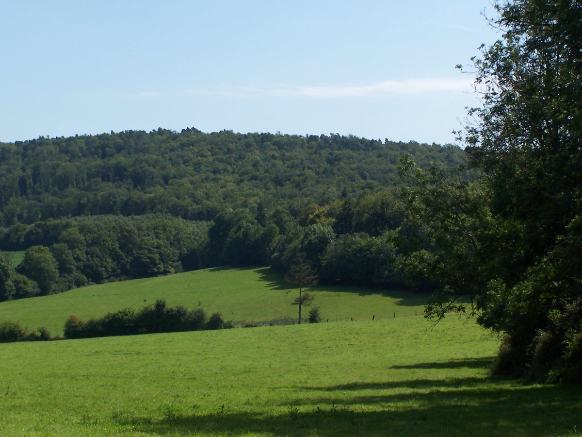
Starting from Hamars, this hike makes a loop alternating between forest and fields. The path crosses then runs along the small stream of Vingt Bec, all in a peaceful setting.

Already more than 200,000 users!
Uphill
258m
Highest point
268m
Downhill
258m
Lowest point
99m
Route type
Loop
Download the map on your smartphone to save battery and rest assured to always keep access to the route, even without signal.
Includes IGN France and Swisstopo.
I indicate whether dogs are allowed or prohibited on this trail
All year
1 rating
Also enjoy:

Already more than 200,000 users!