Uphill
232m
Length
21km
Duration
6h
Elev gain
232m
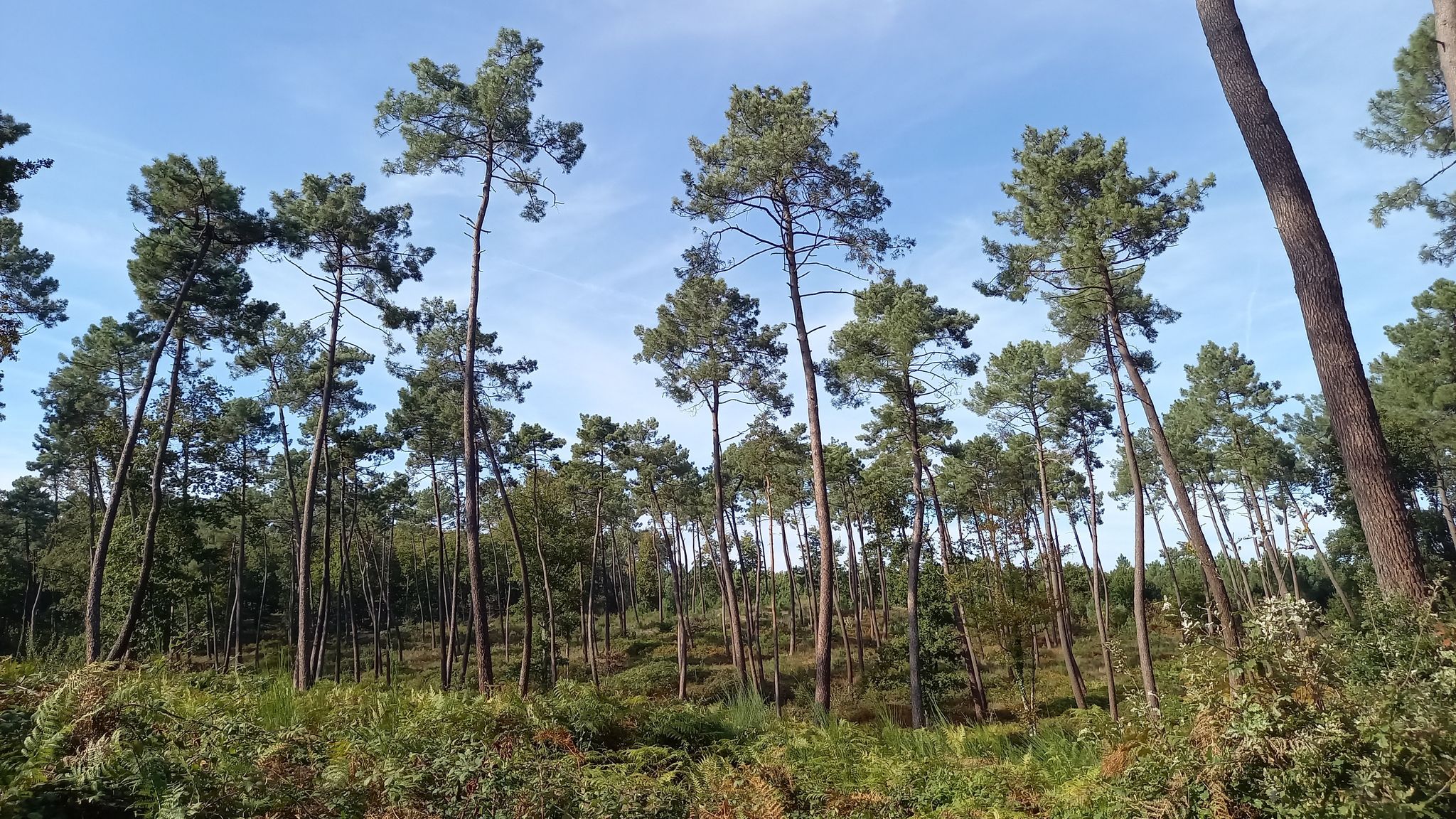
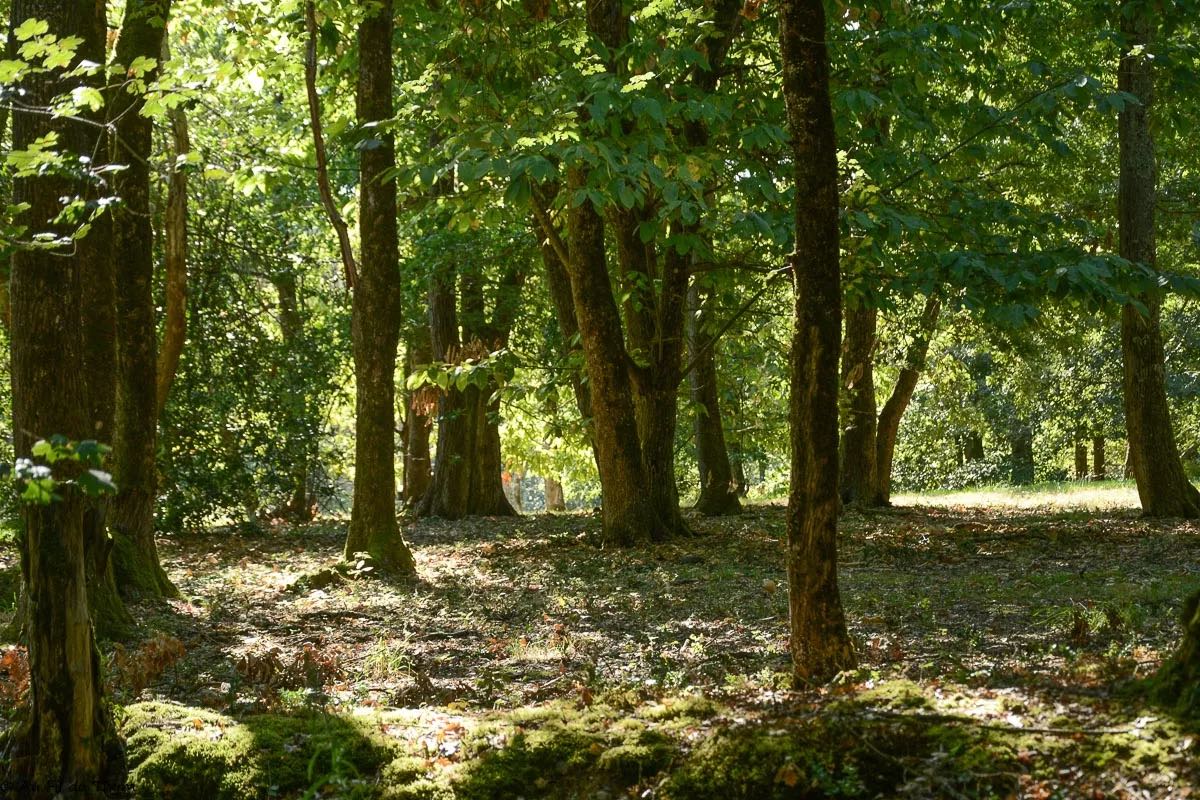
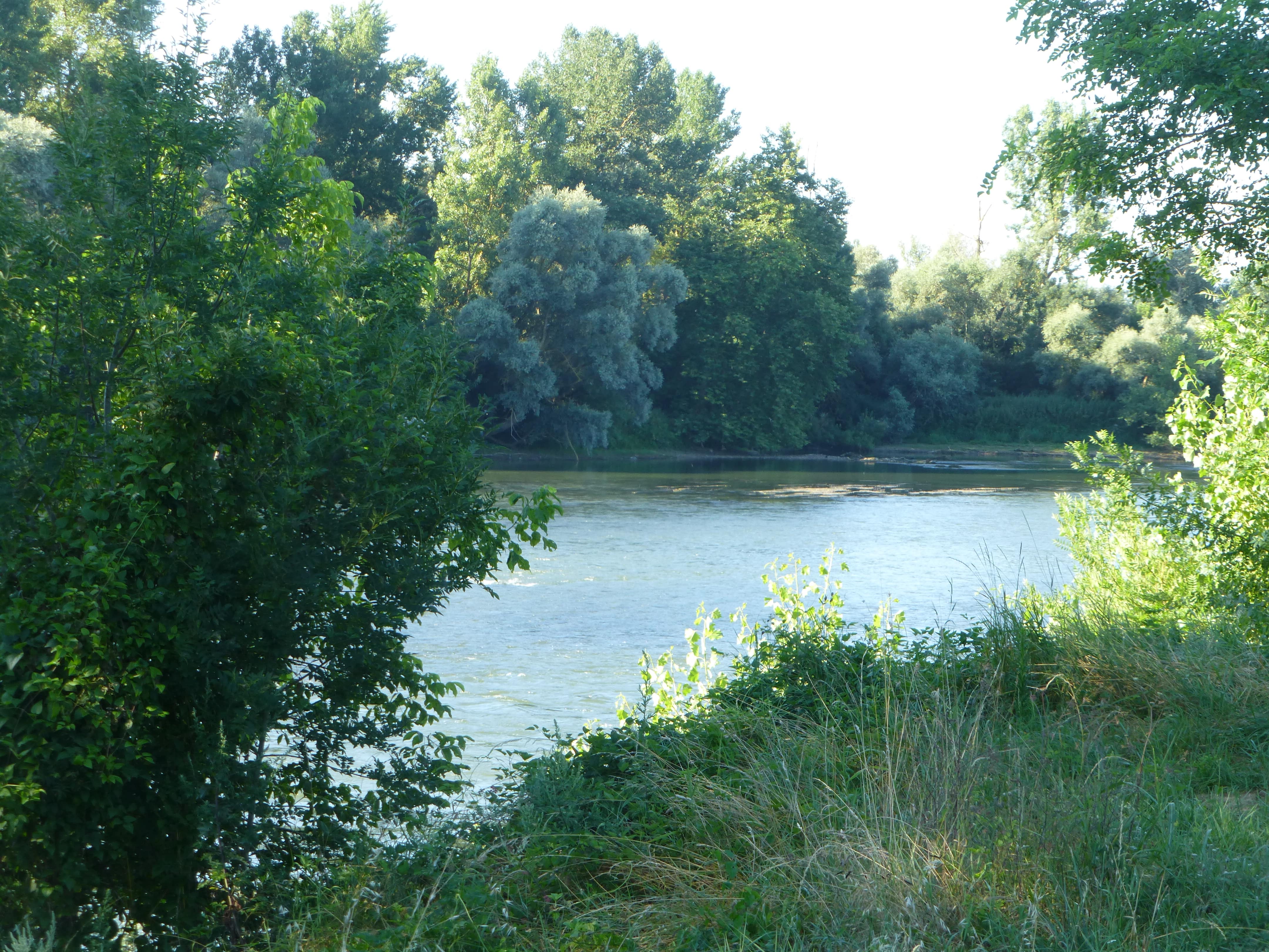
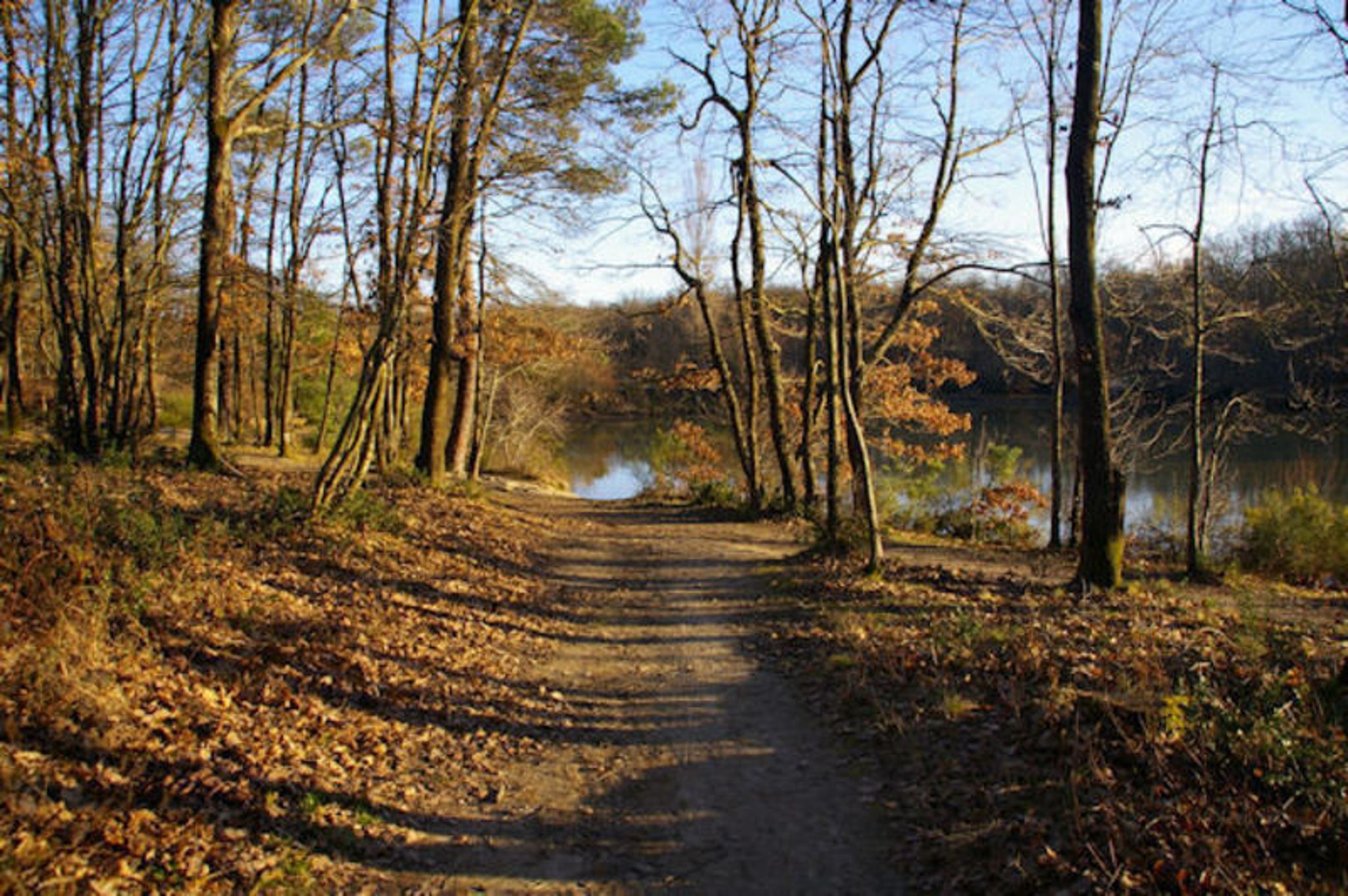
Looking for a long hike only in the forest? There it is. This path does not present any particular difficulty but is relatively long in terms of distance, since it makes a large loop in the heart of the Bouconne forest.

Already more than 200,000 users!
Uphill
232m
Highest point
302m
Downhill
232m
Lowest point
202m
Route type
Loop
Download the map on your smartphone to save battery and rest assured to always keep access to the route, even without signal.
Includes IGN France and Swisstopo.
I indicate whether dogs are allowed or prohibited on this trail
All year
0 ratings
Also enjoy:

Already more than 200,000 users!