Uphill
280m
Length
6km
Duration
2h
Elev gain
280m
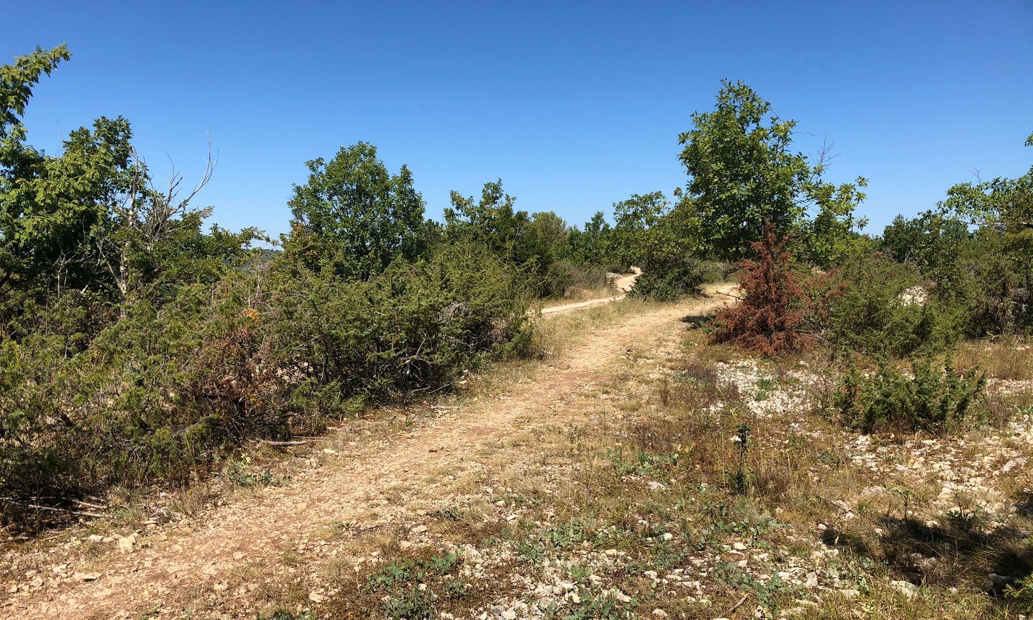
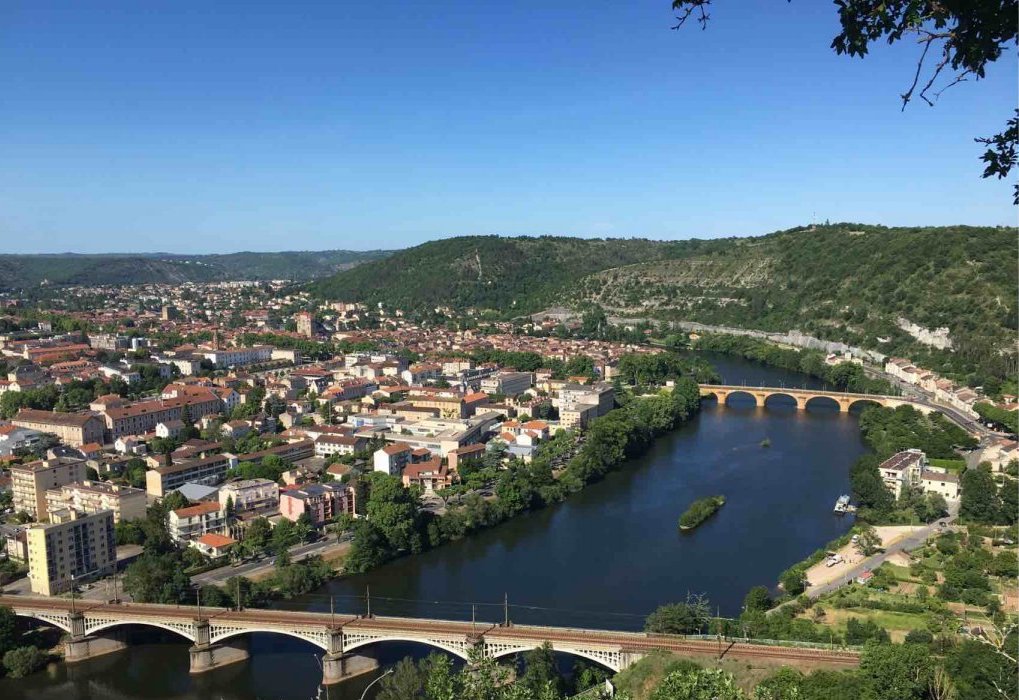
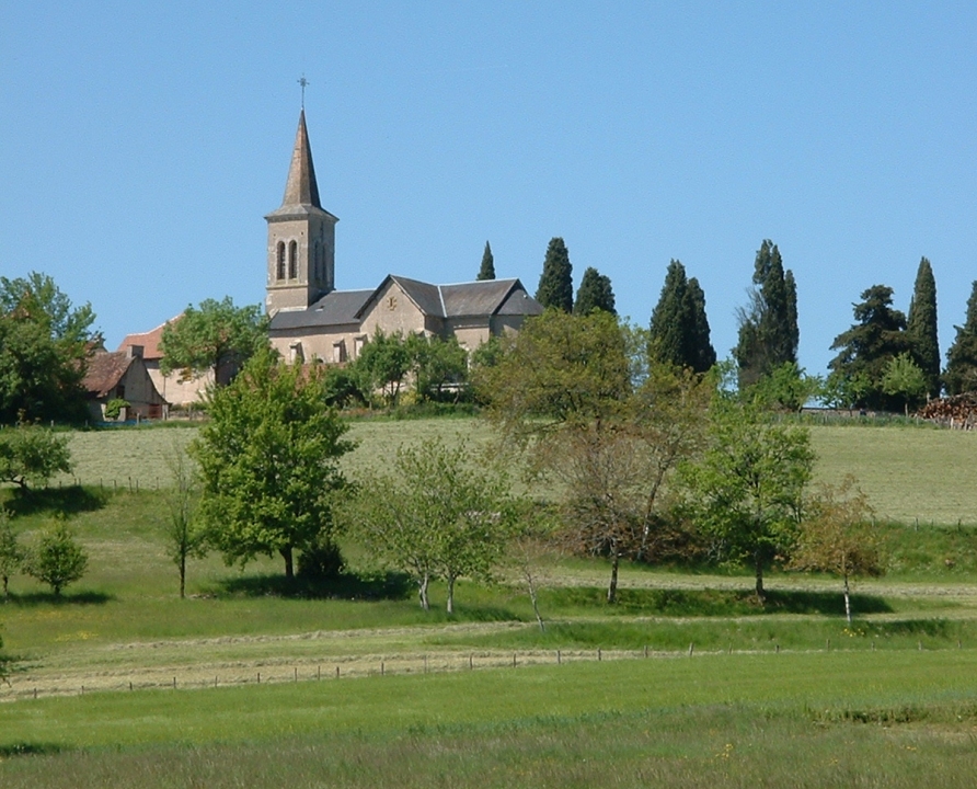
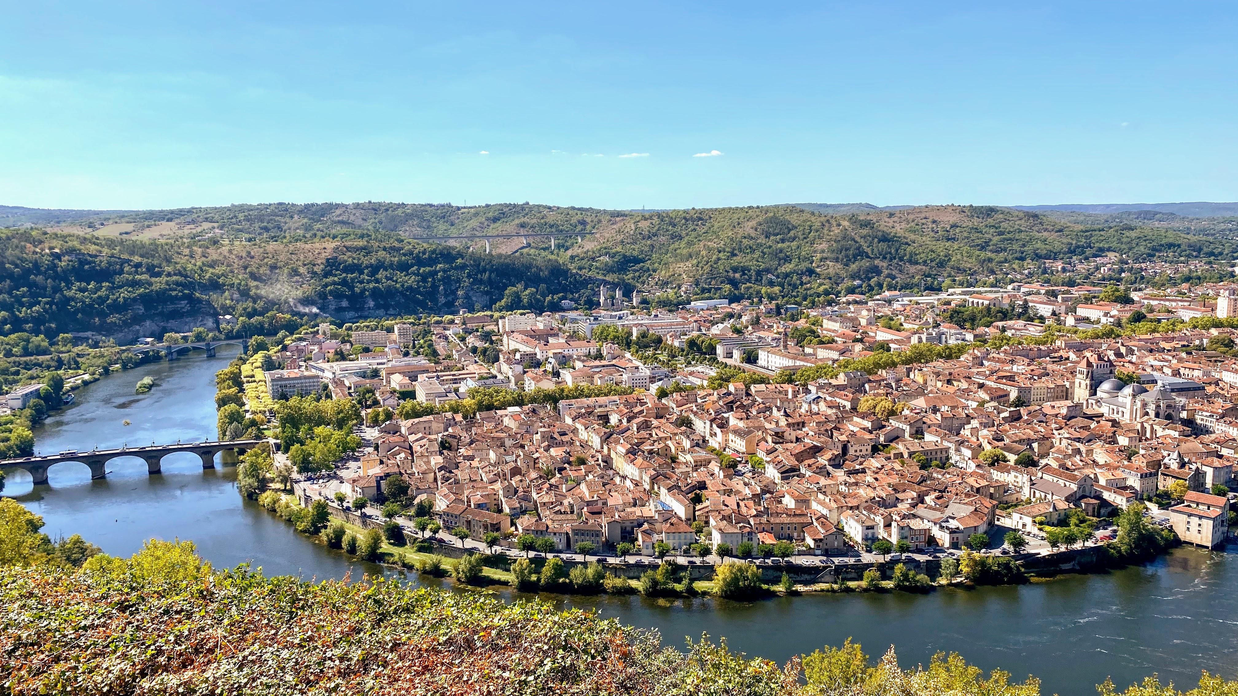
Here is a nice walk on the side of Cahors. The route climbs to the viewpoint of Mont Saint-Cyr, then continues on the heights before returning to the starting point to make a loop.

Already more than 200,000 users!
Uphill
280m
Highest point
269m
Downhill
280m
Lowest point
117m
Route type
Loop
Download the map on your smartphone to save battery and rest assured to always keep access to the route, even without signal.
Includes IGN France and Swisstopo.
I indicate whether dogs are allowed or prohibited on this trail
All year
1 rating
Also enjoy:

Already more than 200,000 users!