Uphill
79m
Length
7km
Duration
2h
Elev gain
79m
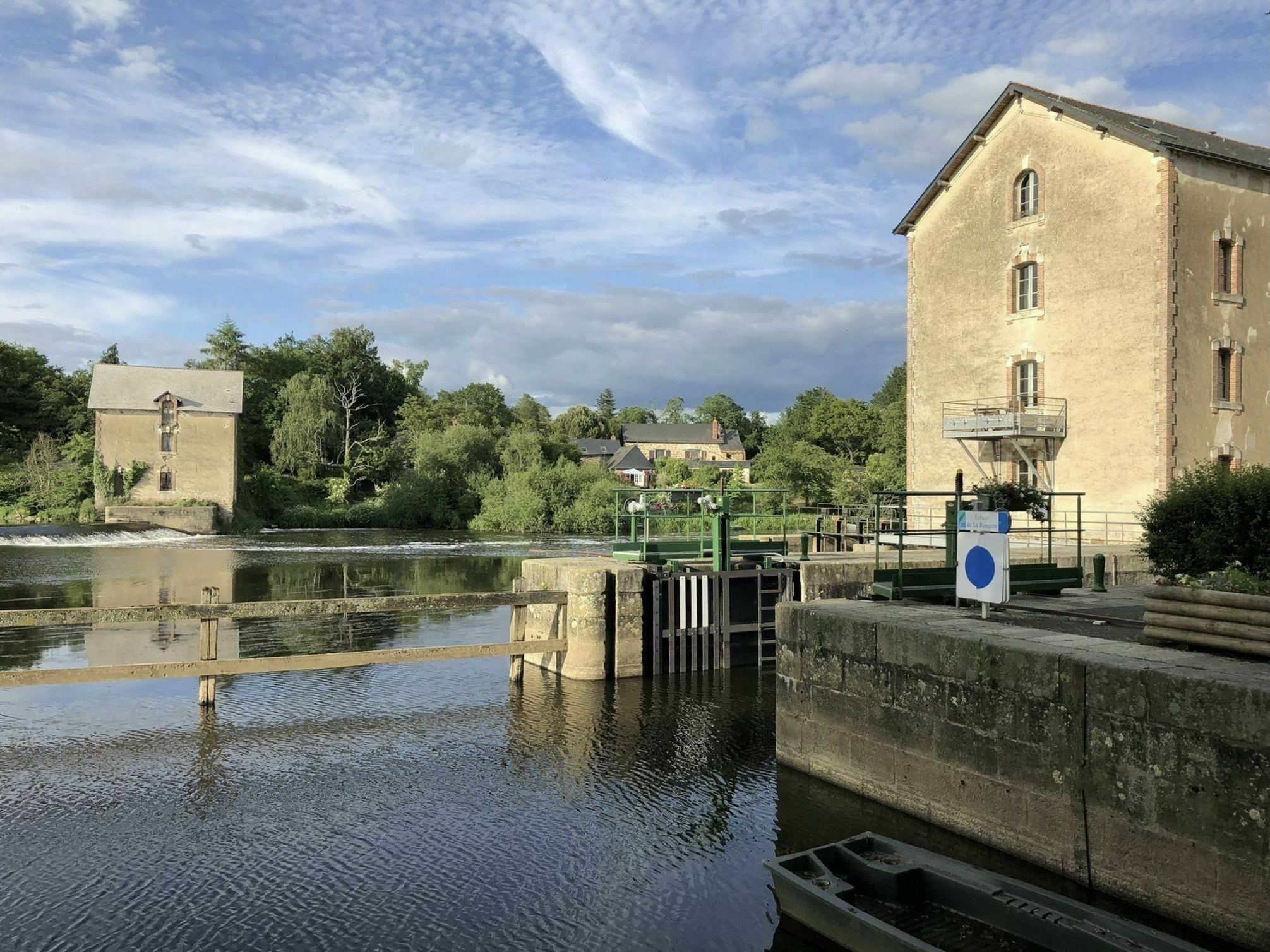
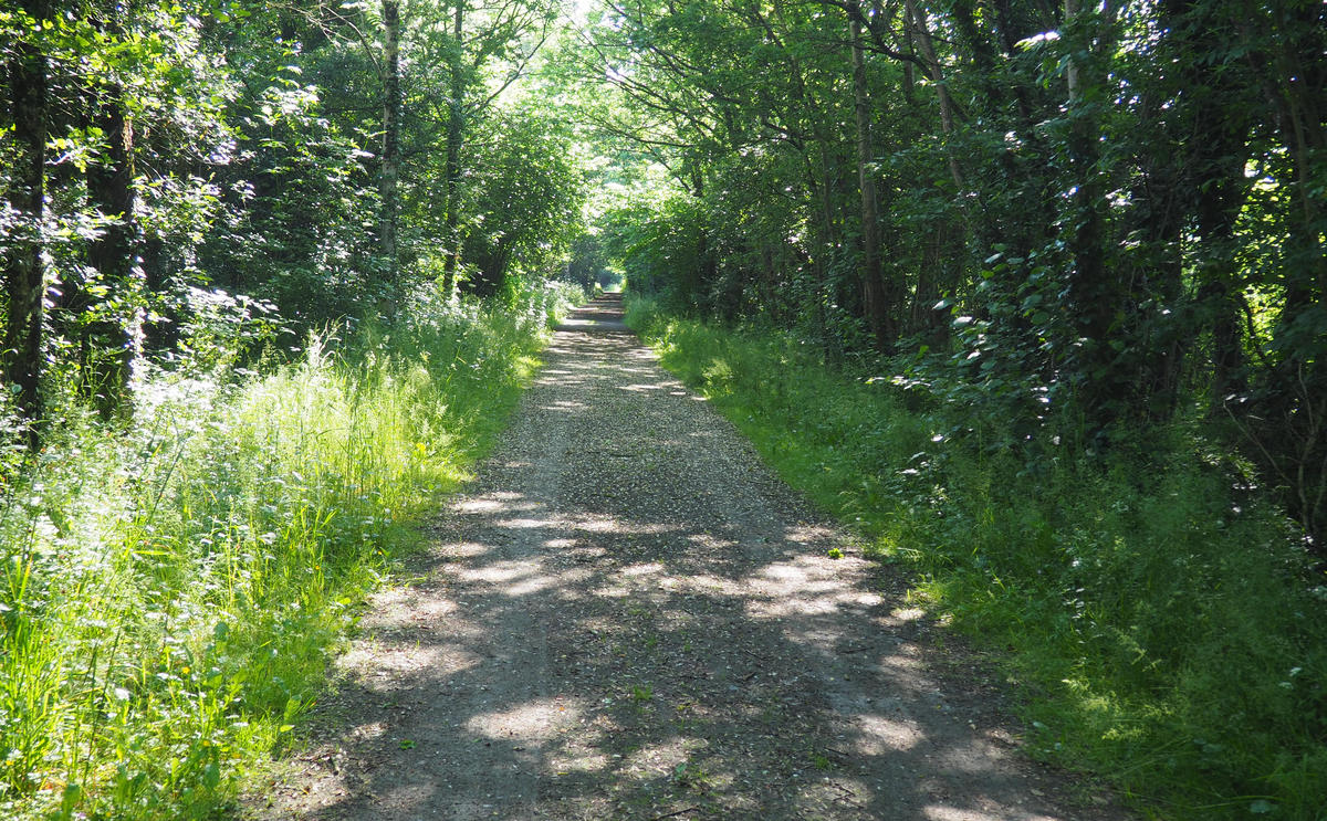
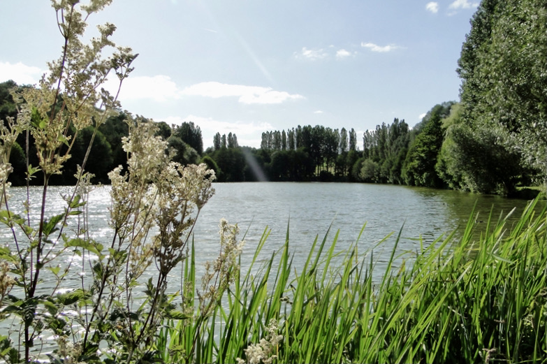
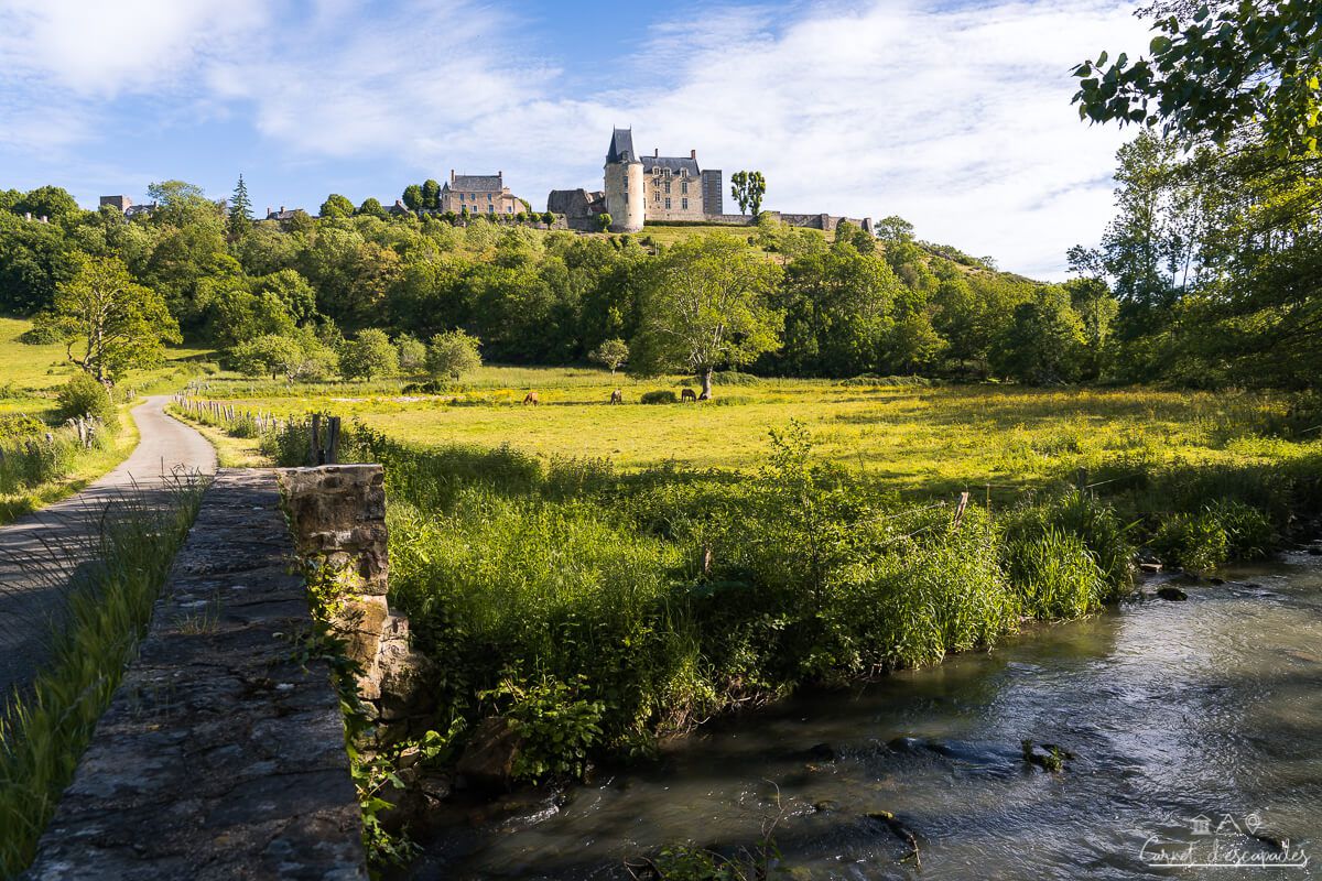
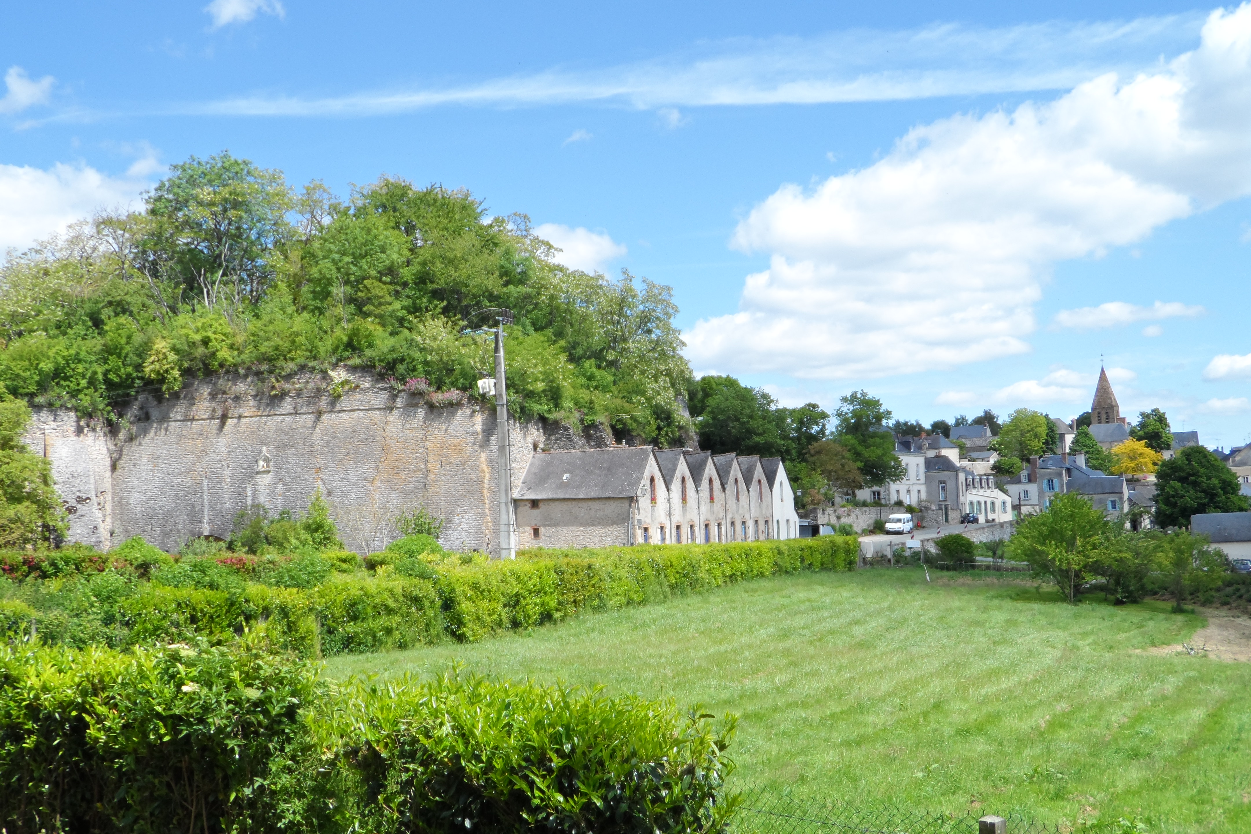
Leaving from Parné-sur-Roc, this walk is not lacking in charm. The route crosses the village built on a tormented relief, labeled "Small City of Character", then makes a superb loop in a pleasant and peaceful rural setting.

Already more than 200,000 users!
Uphill
79m
Highest point
108m
Downhill
79m
Lowest point
54m
Route type
Loop
Download the map on your smartphone to save battery and rest assured to always keep access to the route, even without signal.
Includes IGN France and Swisstopo.
I indicate whether dogs are allowed or prohibited on this trail
All year
1 rating
Also enjoy:

Already more than 200,000 users!