Uphill
140m
Length
5km
Duration
1h30min
Elev gain
140m
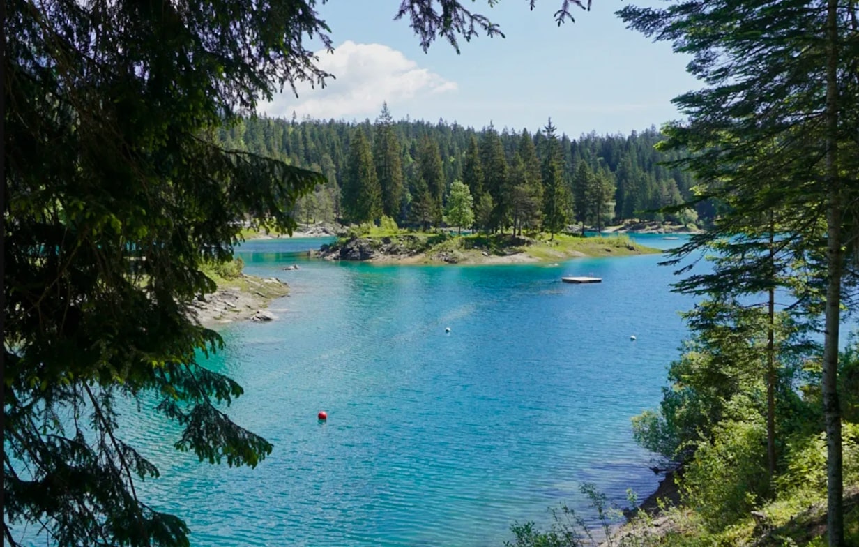
Departing from Flims, this pretty hike leads to Lake Cauma via small forest paths. It then goes around the lake before returning towards the starting point. In short, a nice little walk in a pleasant natural setting.

Already more than 200,000 users!
Uphill
140m
Highest point
1120m
Downhill
140m
Lowest point
1000m
Route type
Loop
Download the map on your smartphone to save battery and rest assured to always keep access to the route, even without signal.
Includes IGN France and Swisstopo.
I indicate whether dogs are allowed or prohibited on this trail
Can be difficult in Winter
0 ratings
Also enjoy:

Already more than 200,000 users!


