Uphill
896m
Length
12km
Duration
6h
Elev gain
896m
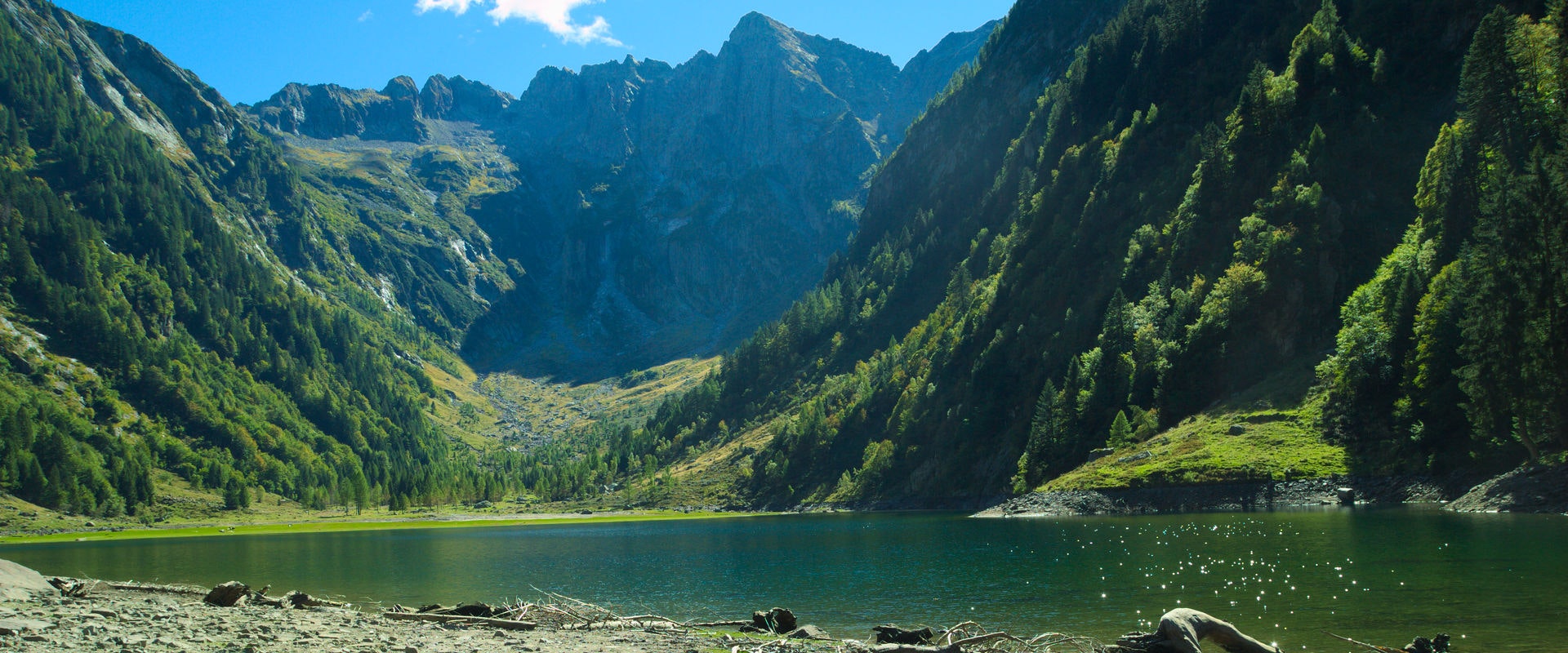
Located in the Cama Valley, this hike leads to the beautiful Cama Lake. The route crosses a beautiful forest, along the Rio de Val Cama, until reaching the lake. Here, we take advantage of the moment before heading back to the starting point.

Already more than 200,000 users!
Uphill
896m
Highest point
1275m
Downhill
896m
Lowest point
374m
Route type
There and back
Download the map on your smartphone to save battery and rest assured to always keep access to the route, even without signal.
Includes IGN France and Swisstopo.
I indicate whether dogs are allowed or prohibited on this trail
Can be difficult in Winter
0 ratings
Also enjoy:

Already more than 200,000 users!


