Uphill
487m
Length
7km
Duration
3h30min
Elev gain
487m
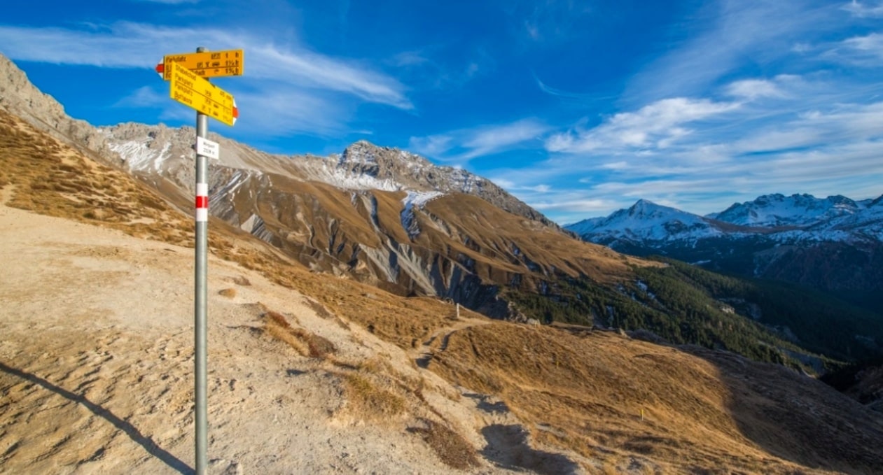
Here is a nice hike located in the Val dal Spöl, in the canton of Graubünden. The route makes a loop on well-maintained paths which eventually lead to the Margunet, located at 2,339 meters above sea level. Here, the view is absolutely sublime. It is then necessary to return to the direction of the starting point in order to close this hike.

Already more than 200,000 users!
Uphill
487m
Highest point
2345m
Downhill
487m
Lowest point
1859m
Route type
Loop
Download the map on your smartphone to save battery and rest assured to always keep access to the route, even without signal.
Includes IGN France and Swisstopo.
I indicate whether dogs are allowed or prohibited on this trail
From May to September
0 ratings
Also enjoy:

Already more than 200,000 users!


