Uphill
926m
Length
13km
Duration
6h30min
Elev gain
926m
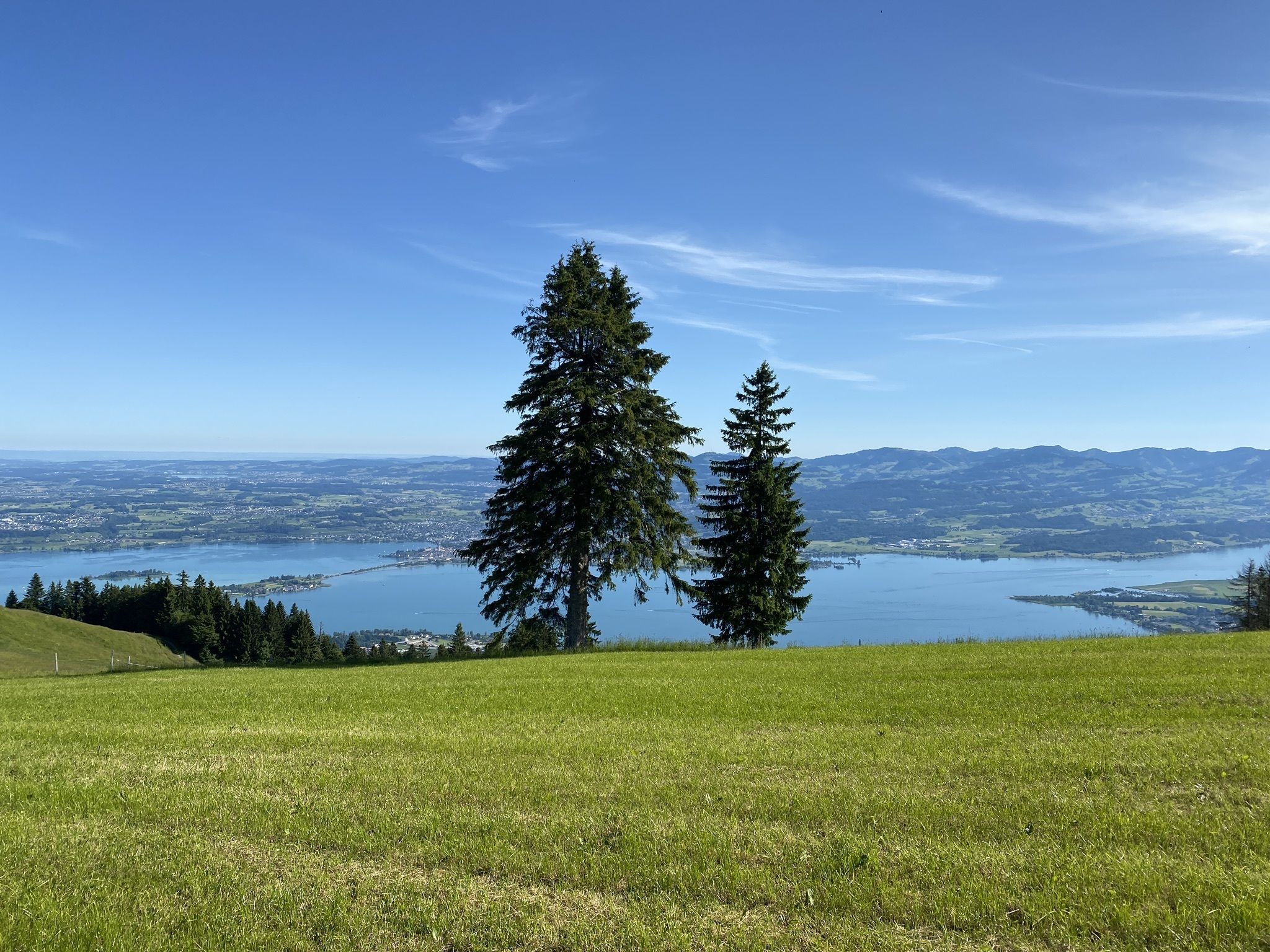
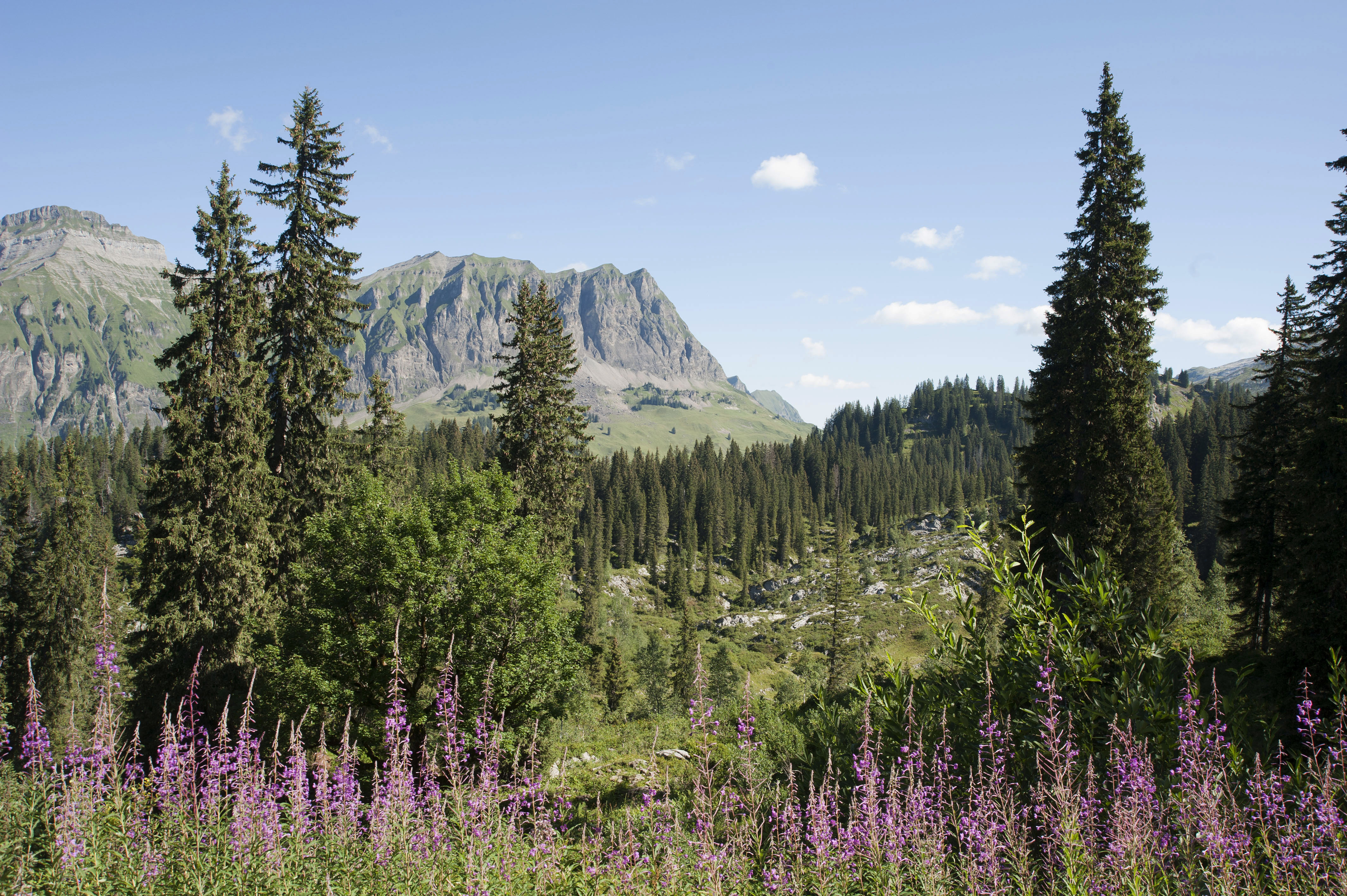
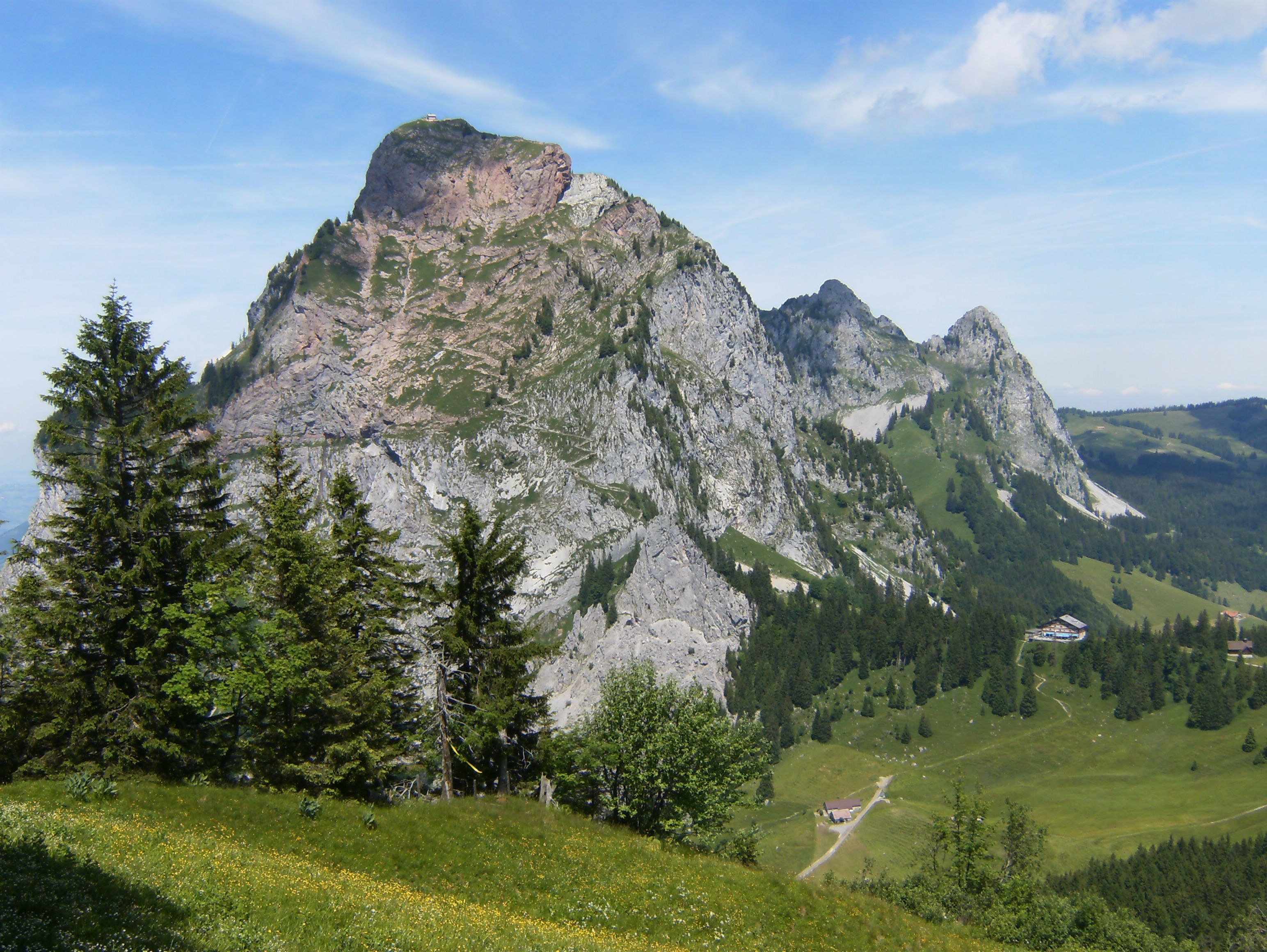
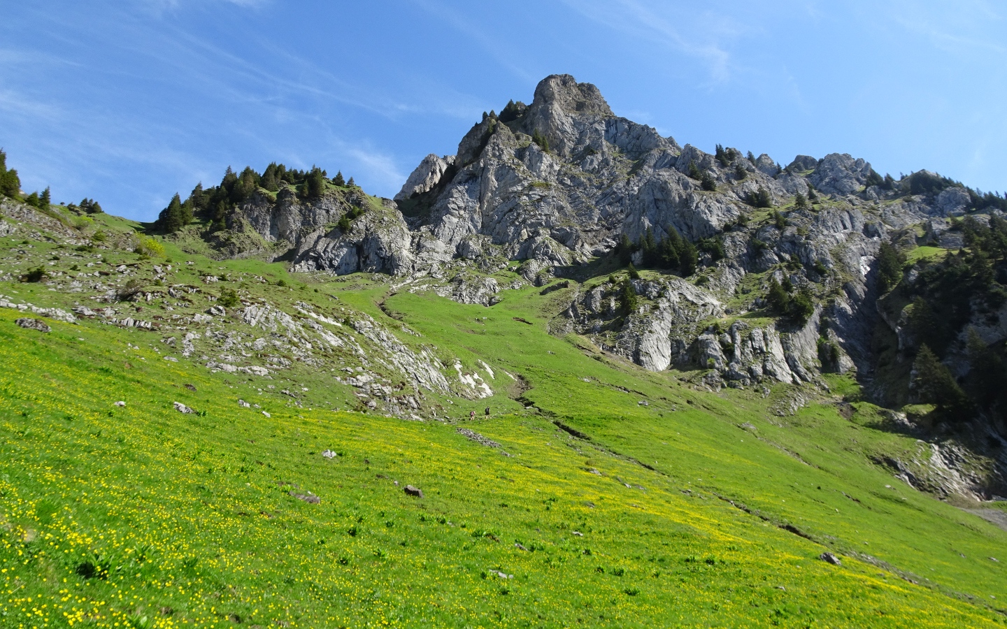
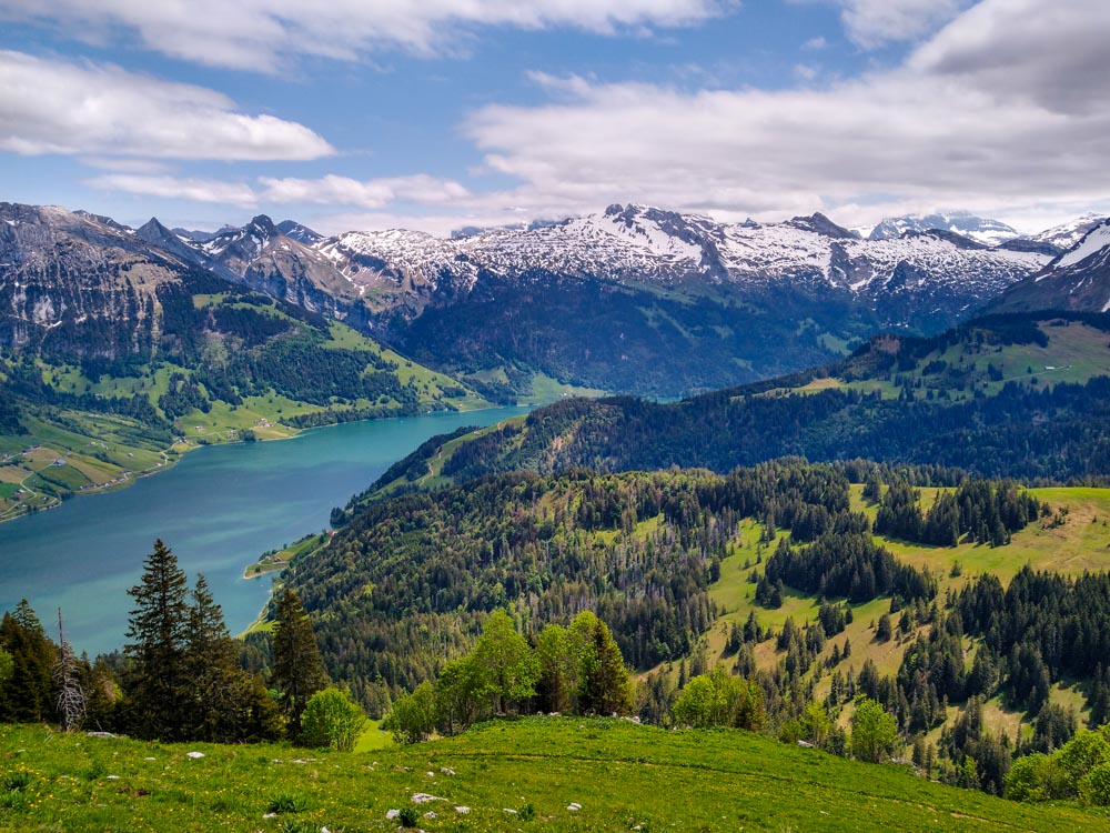
Here is a long and beautiful hike starting from Satteleg, a pass located at 1,190 meters above sea level. This route makes a loop through beautiful forests and meadows until reaching the Chli Aubrig then the Gross Aubrig, the highest point of this hike, located at 1,695 meters above sea level. At the top, the view of Lake Wägitalersee is fabulous. It is then necessary to return to the direction of the starting point in order to close this superb walk.

Already more than 200,000 users!
Uphill
926m
Highest point
1691m
Downhill
926m
Lowest point
1181m
Route type
Loop
Download the map on your smartphone to save battery and rest assured to always keep access to the route, even without signal.
Includes IGN France and Swisstopo.
I indicate whether dogs are allowed or prohibited on this trail
From May to October
0 ratings
Also enjoy:

Already more than 200,000 users!