Uphill
1083m
Length
17km
Duration
8h
Elev gain
1083m
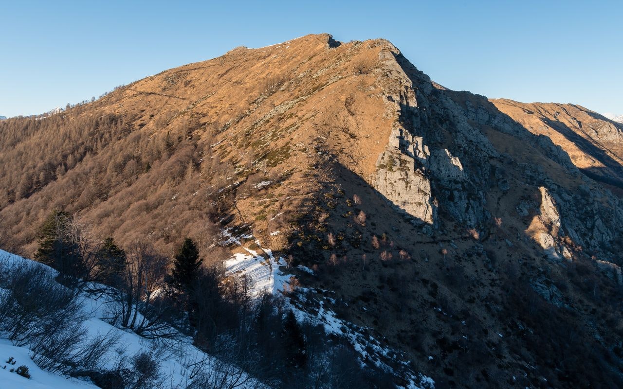
Starting from Monte Bre, this long and beautiful hike makes a loop through the Cima della Trosa. The route follows pretty paths that offer magnificent views of the surroundings and passes by the Cimetta, a small restaurant ideal for taking a break during the hike.

Already more than 200,000 users!
Uphill
1083m
Highest point
1847m
Downhill
1083m
Lowest point
1017m
Route type
Loop
Download the map on your smartphone to save battery and rest assured to always keep access to the route, even without signal.
Includes IGN France and Swisstopo.
I indicate whether dogs are allowed or prohibited on this trail
From May to October
0 ratings
Also enjoy:

Already more than 200,000 users!


