Uphill
197m
Length
7km
Duration
2h30min
Elev gain
197m
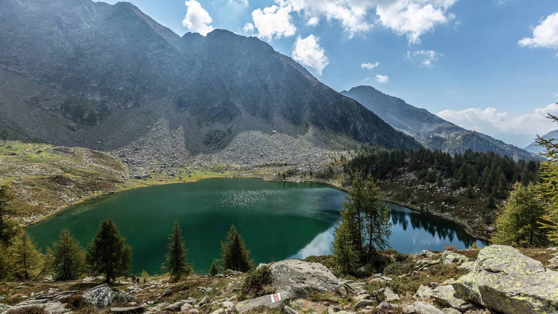
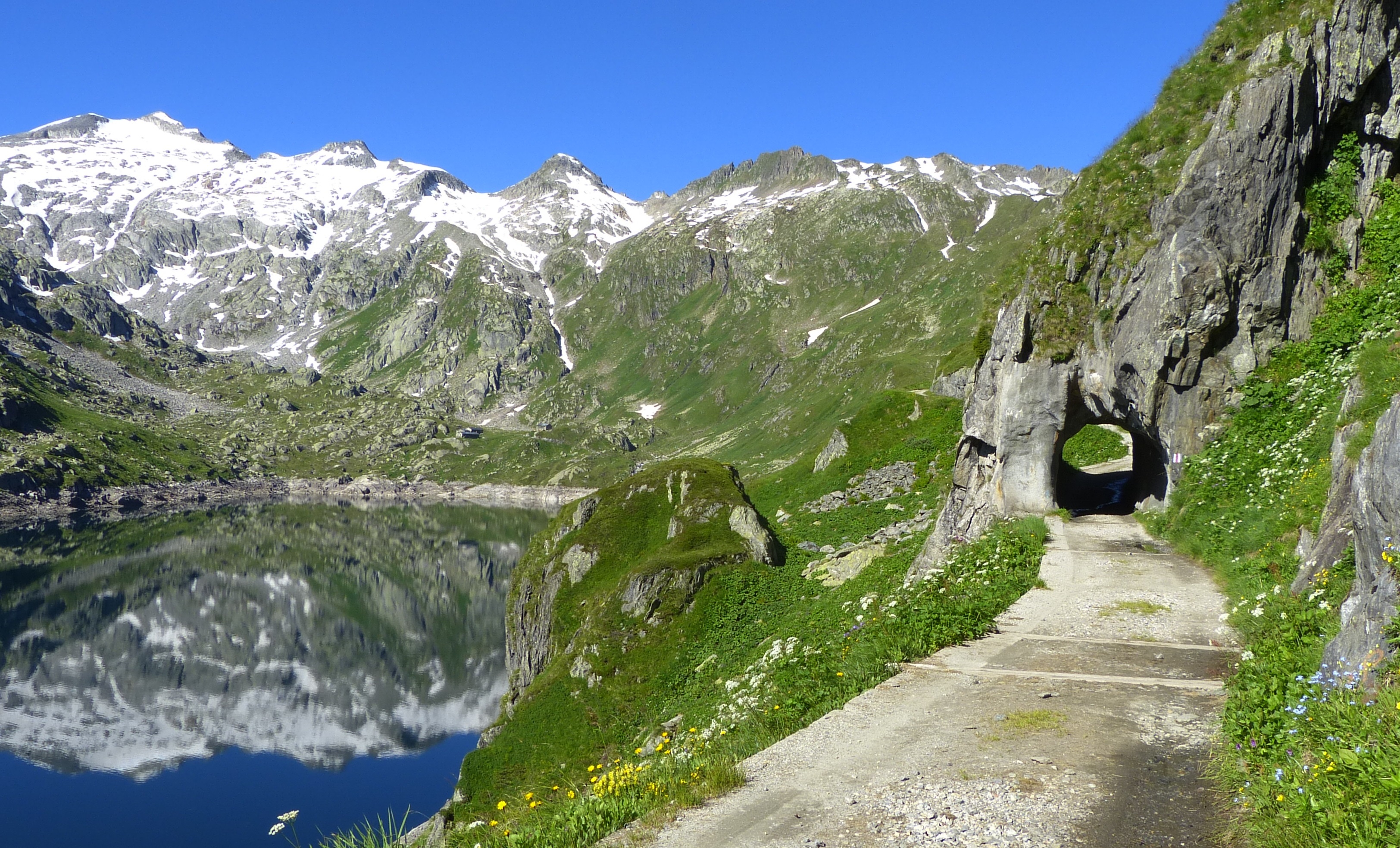
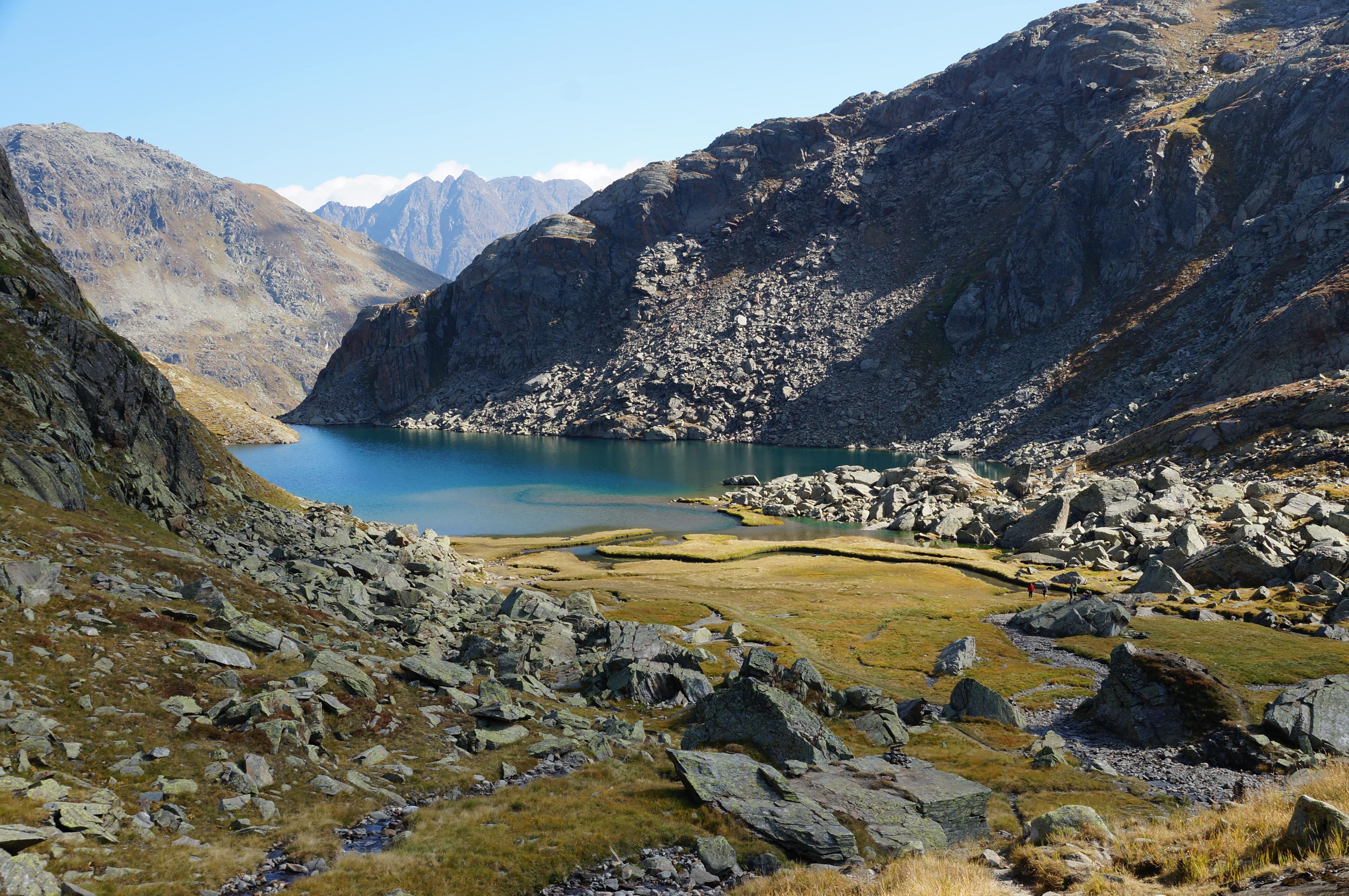
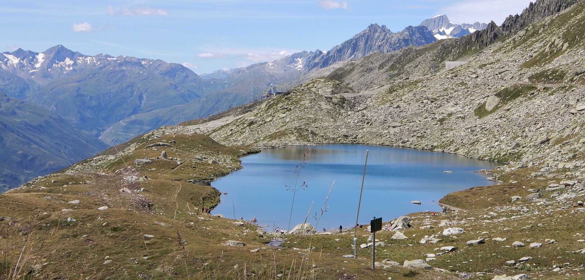
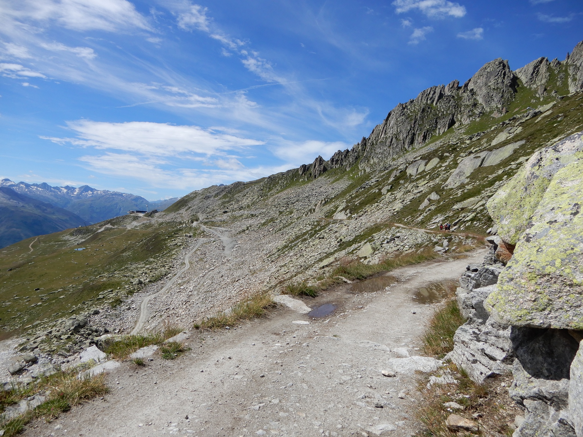
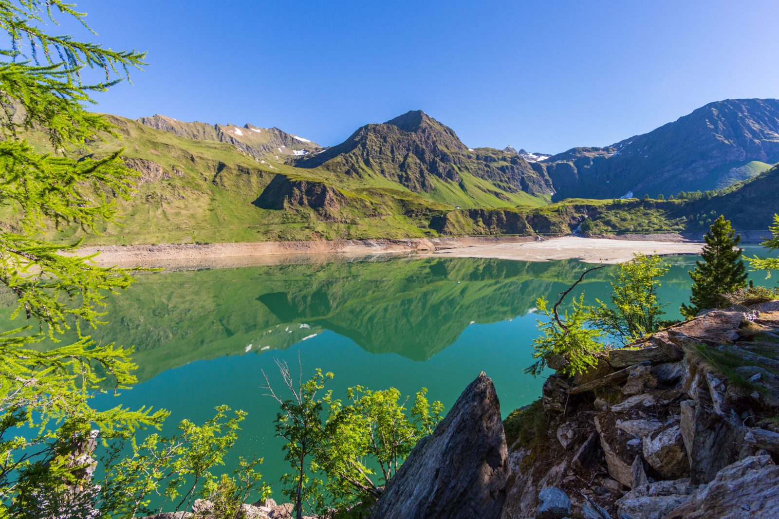
Family-friendly walk in the Piora Valley, around Lake Ritom. This natural lake, used as a reservoir by the Swiss Federal Railways to produce hydroelectric power, offers a superb setting for walking.

Already more than 200,000 users!
Uphill
197m
Highest point
1885m
Downhill
197m
Lowest point
1832m
Route type
Loop
Download the map on your smartphone to save battery and rest assured to always keep access to the route, even without signal.
Includes IGN France and Swisstopo.
I indicate whether dogs are allowed or prohibited on this trail
From May to October
0 ratings
Also enjoy:

Already more than 200,000 users!