Uphill
620m
Length
6km
Duration
4h
Elev gain
620m
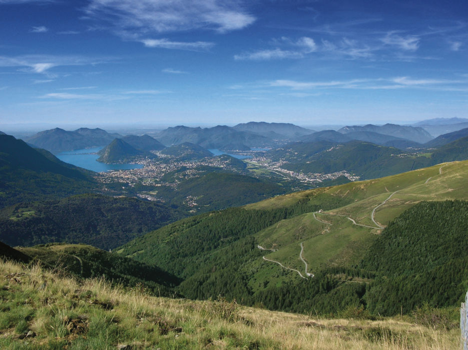
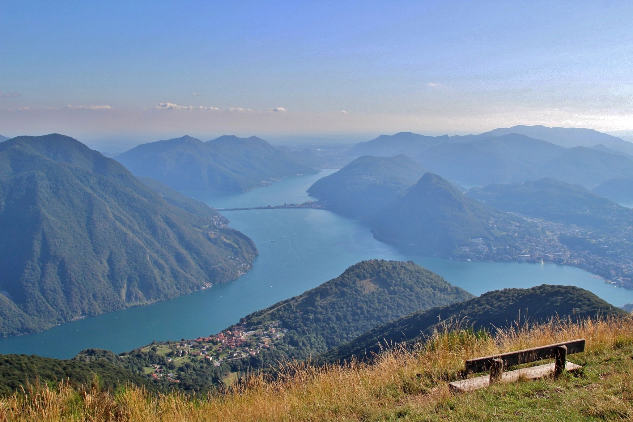
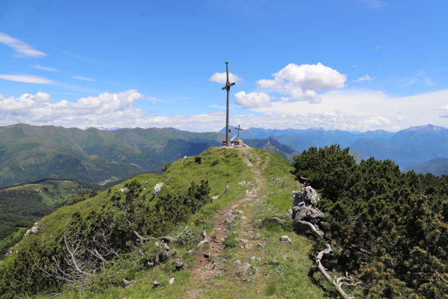
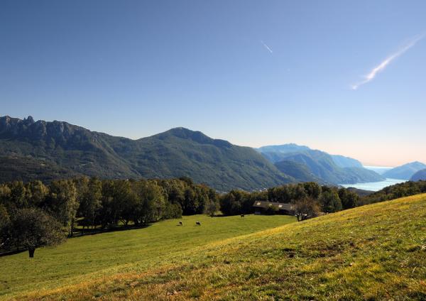
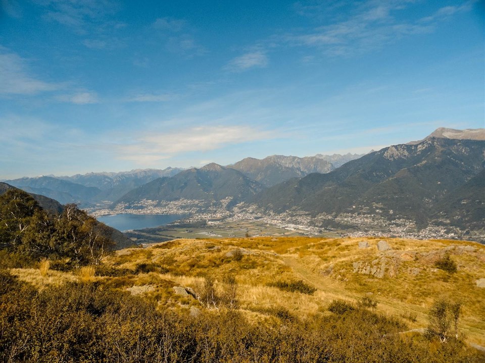
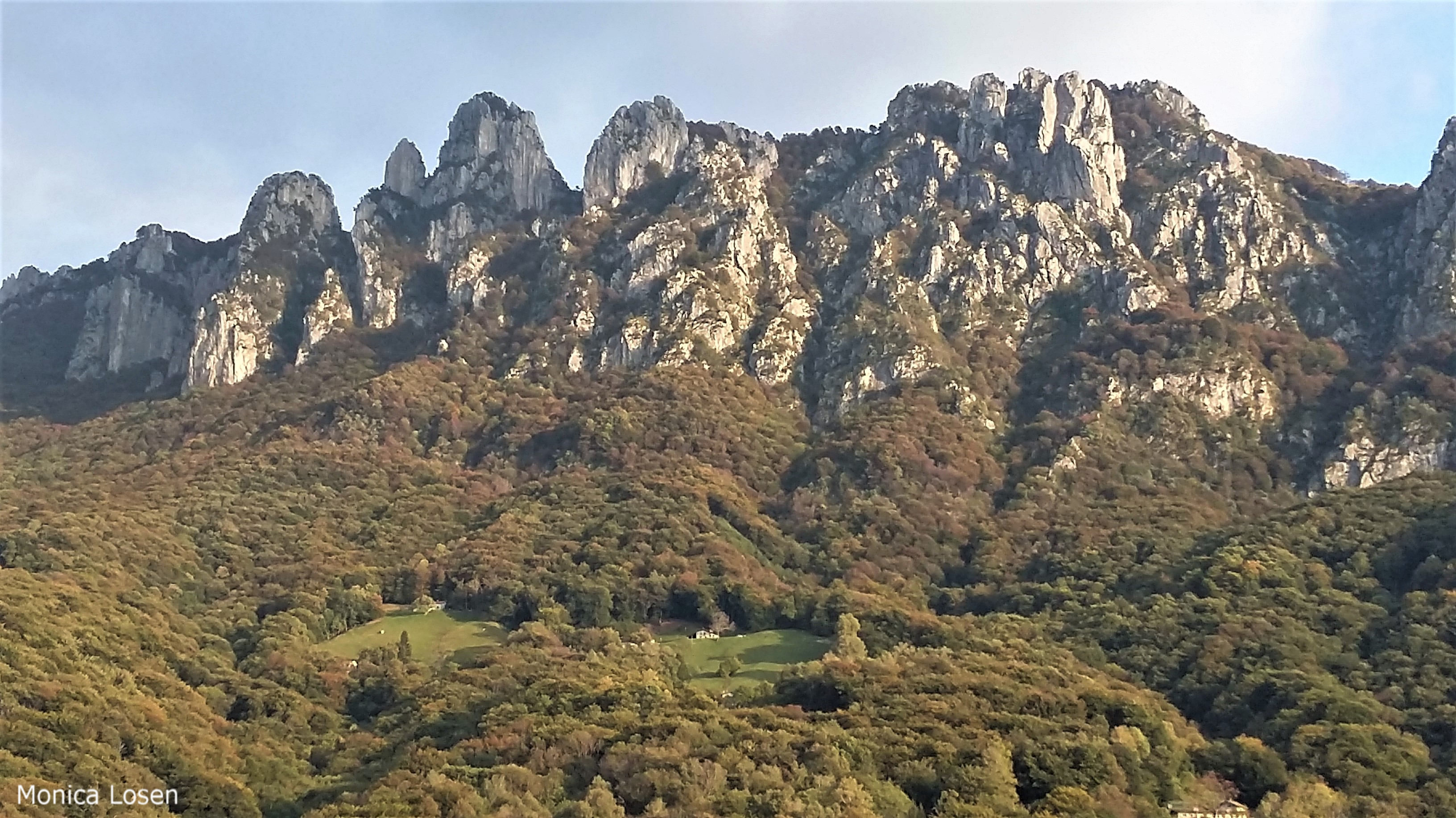
After starting near Villa Luganese, this route sets out to discover the summit of Sasso Grande, located at an altitude of 1,490 metres. Once at the top, we are on the border between Italy and Switzerland, and the view is absolutely splendid.

Already more than 200,000 users!
Uphill
620m
Highest point
1417m
Downhill
620m
Lowest point
805m
Route type
There and back
Download the map on your smartphone to save battery and rest assured to always keep access to the route, even without signal.
Includes IGN France and Swisstopo.
I indicate whether dogs are allowed or prohibited on this trail
Can be difficult in Winter
0 ratings
Also enjoy:

Already more than 200,000 users!