Uphill
1138m
Length
14km
Duration
8h
Elev gain
1138m
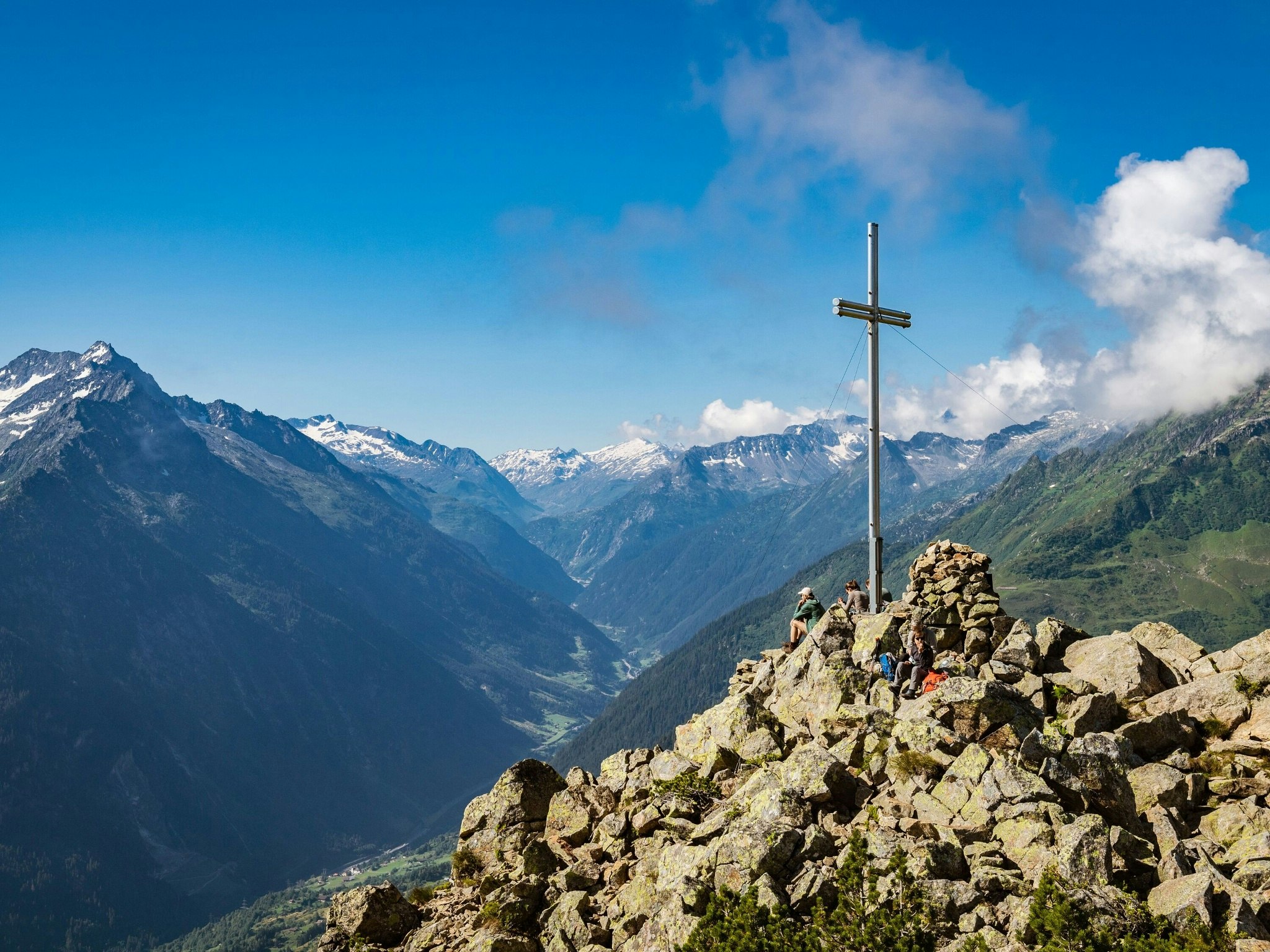
Departing from the upper station of Arnisee, this hike makes a long and superb loop between lakes and peaks. The route begins at Lake Arnisee and then quickly climbs to reach the Sunniggratli summit, located at 2,034 meters above sea level. The trail then passes by Lake Obersee, the Leutschachhütte and then Lake Niedersee. Here, the view of Windgällen, the Maderanertal, Tödi, Düssistock and Bristenstock is simply magical.

Already more than 200,000 users!
Uphill
1138m
Highest point
2253m
Downhill
1138m
Lowest point
1349m
Route type
Loop
Download the map on your smartphone to save battery and rest assured to always keep access to the route, even without signal.
Includes IGN France and Swisstopo.
I indicate whether dogs are allowed or prohibited on this trail
From May to September
0 ratings
Also enjoy:

Already more than 200,000 users!


