Uphill
296m
Length
5km
Duration
2h
Elev gain
296m
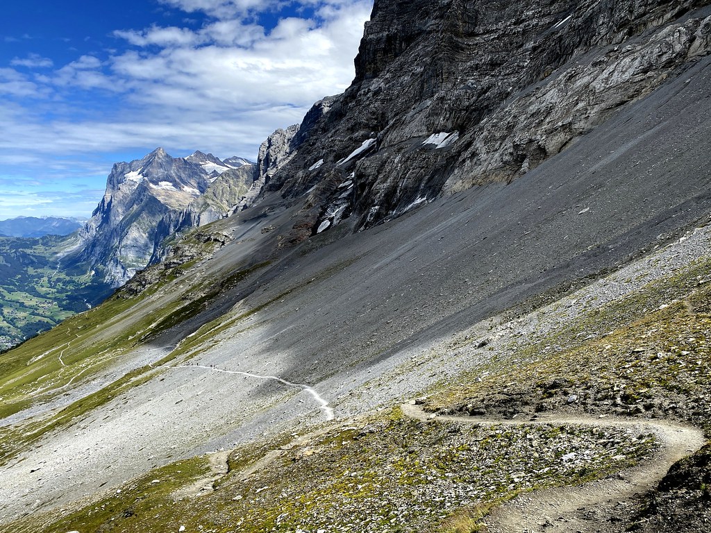
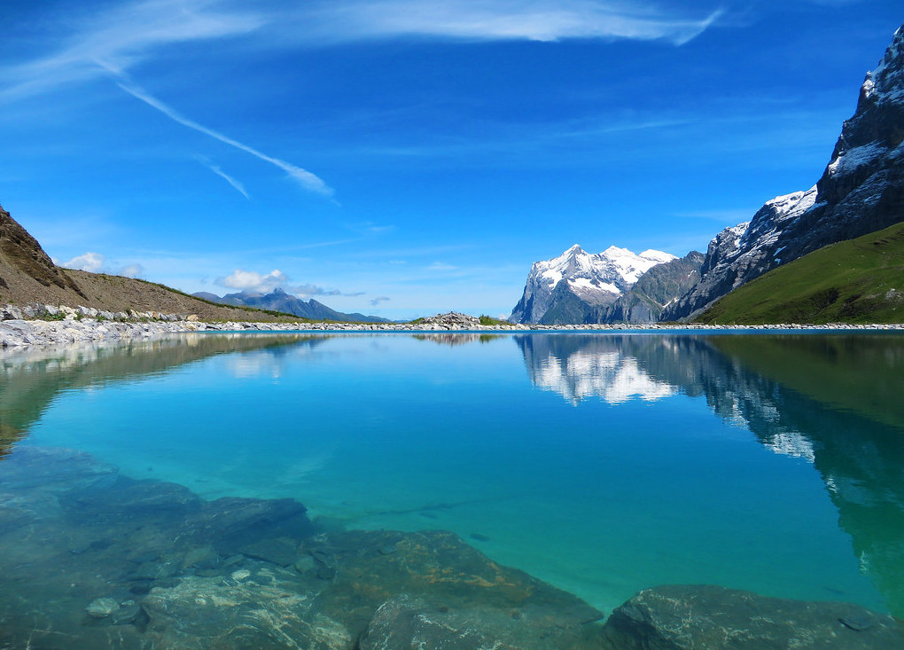
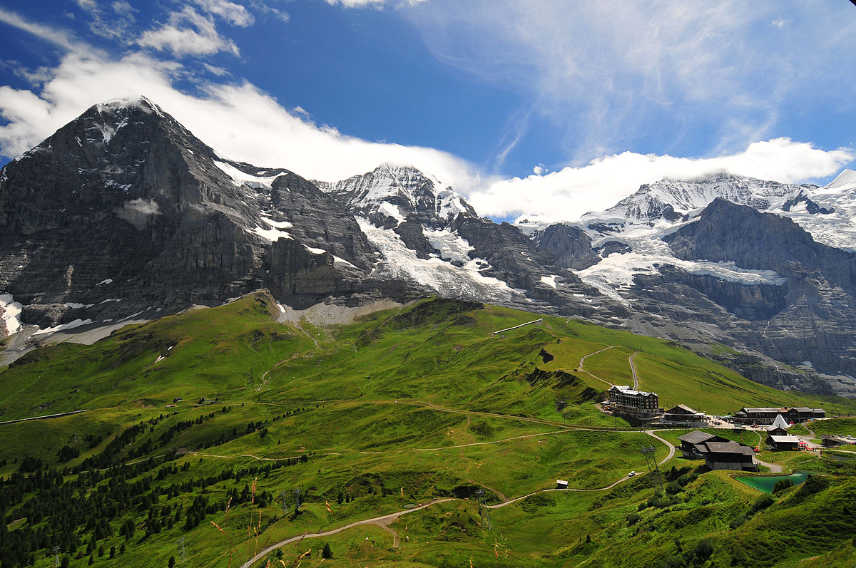
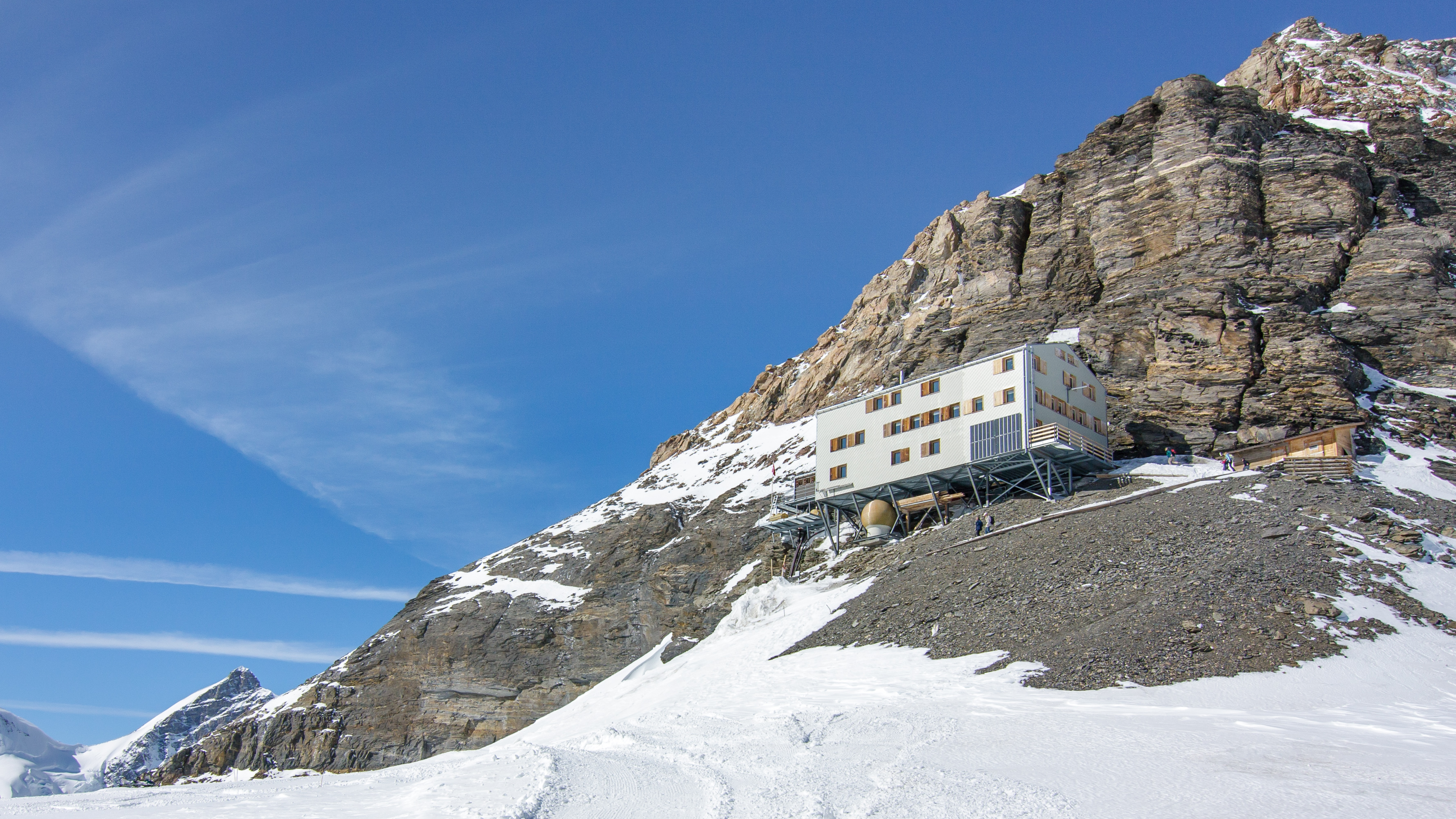
Departing from Jungfraujoch station, this hike leads to Mönchsjoch, the highest inhabited hut in Europe. This round trip offers splendid views of the Jungfrau, Mönch and Fiescherhörner, some of the highest mountains in Europe. Once at the hut, we eat in a real little corner of paradise.
Note that the cabin closes for the winter each October.

Already more than 200,000 users!
Uphill
296m
Highest point
3663m
Downhill
296m
Lowest point
3460m
Route type
There and back
Download the map on your smartphone to save battery and rest assured to always keep access to the route, even without signal.
Includes IGN France and Swisstopo.
I indicate whether dogs are allowed or prohibited on this trail
From June to September
0 ratings
Also enjoy:

Already more than 200,000 users!