Uphill
1175m
Length
13km
Duration
8h
Elev gain
1175m
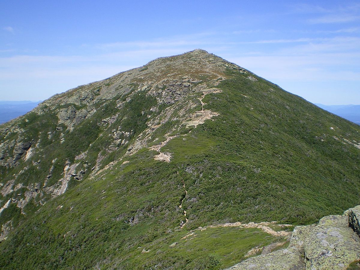
This is a great loop to ascend Mont Lafayette in the White Mountains National Forest, New Hampshire. The trail, beginning close to the Lafayette Campground, is challenging, as it is long and with a steep gradient. It follows narrow footpaths through woodlands and rocky trails above the trees and sometimes above the clouds passing by gorgeous waterfalls. The views along the Franconia Ridge Trail, after Little Haystack Mountain, are fantastic and far reaching offering panoramas on the White Mountains.

Already more than 200,000 users!
Uphill
1175m
Highest point
1600m
Downhill
1175m
Lowest point
548m
Route type
Loop
Download the map on your smartphone to save battery and rest assured to always keep access to the route, even without signal.
Includes IGN France and Swisstopo.
I indicate whether dogs are allowed or prohibited on this trail
All year
0 ratings
Also enjoy:

Already more than 200,000 users!