Uphill
560m
Length
7km
Duration
4h
Elev gain
560m
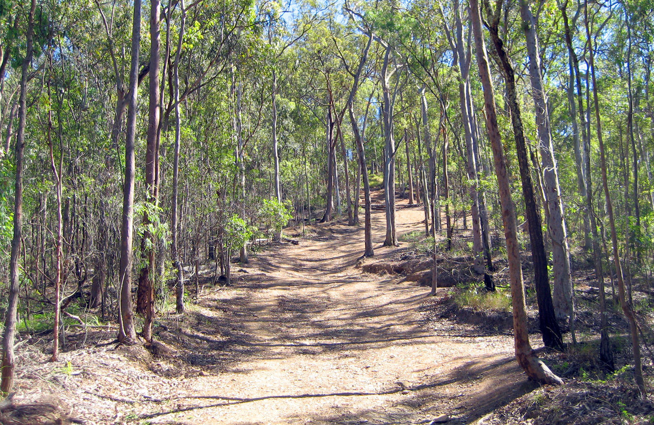
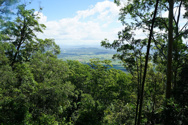
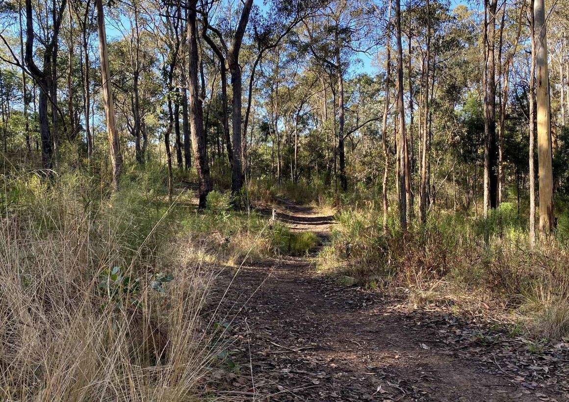
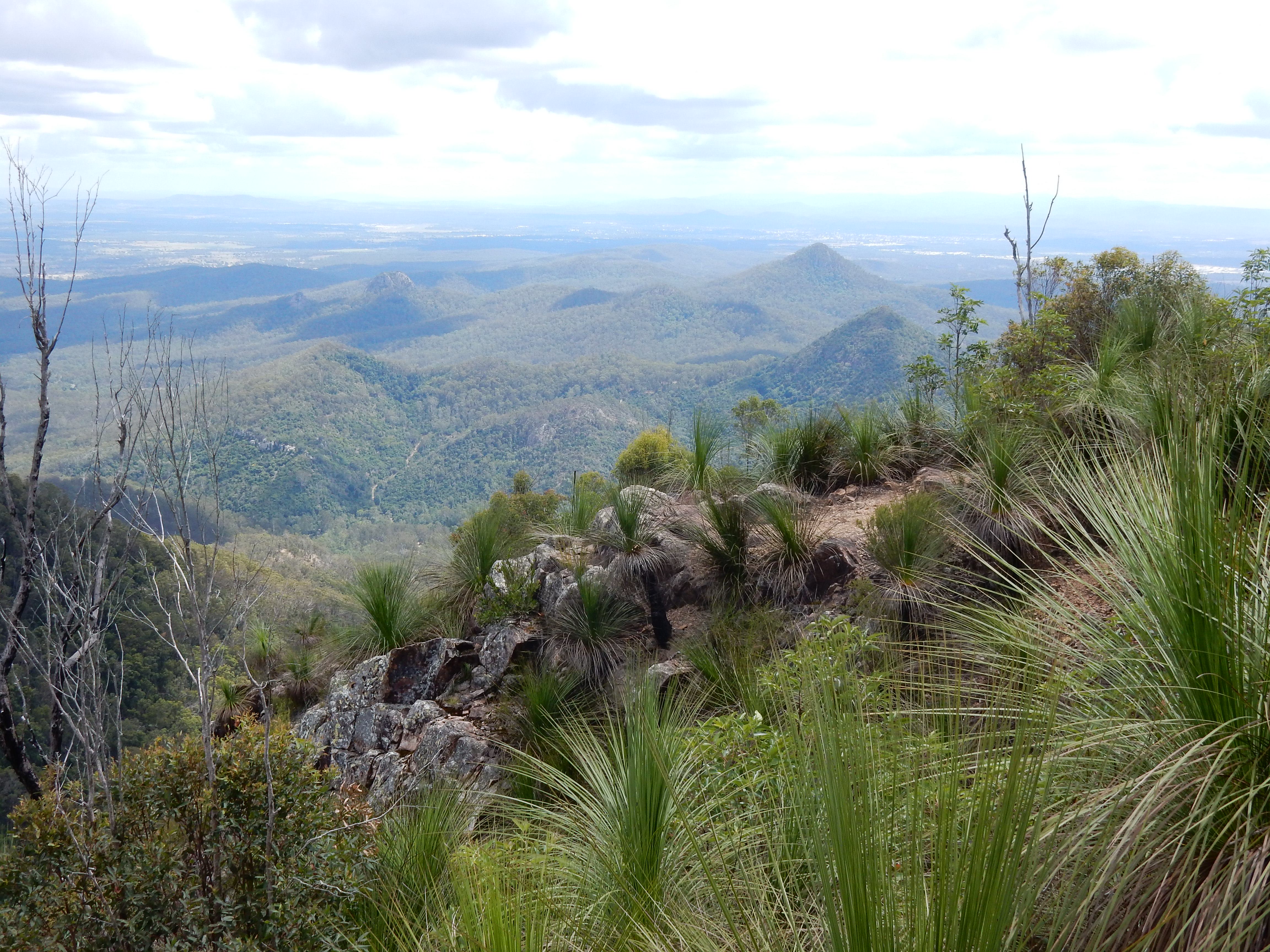
This is a challenging and difficult there-and-back hike to the Flinders Peak, also known as Booroong'pah, in Flinders Peak Conservation Park, Queensland. The trail quickly becomes steep and the terrain is rocky all the way to the top. The nature on the way is lush and abundant and the views on the vast surroundings at the top are amazing.
Do not attempt this walk in times of rain.
The Ugarapul are the Traditional Owners of Booroong'pah, a sacred and powerful sight.

Already more than 200,000 users!
Uphill
560m
Highest point
657m
Downhill
560m
Lowest point
128m
Route type
There and back
Download the map on your smartphone to save battery and rest assured to always keep access to the route, even without signal.
Includes IGN France and Swisstopo.
I indicate whether dogs are allowed or prohibited on this trail
All year
0 ratings
Also enjoy:

Already more than 200,000 users!