Uphill
250m
Length
10km
Duration
3h
Elev gain
250m
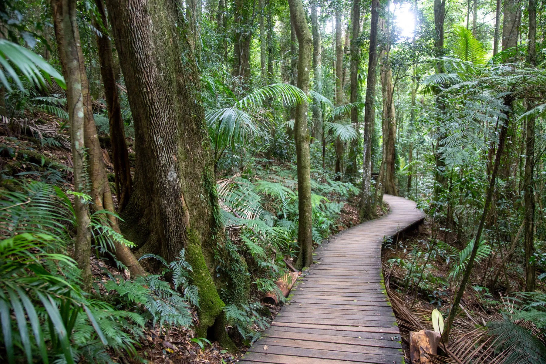
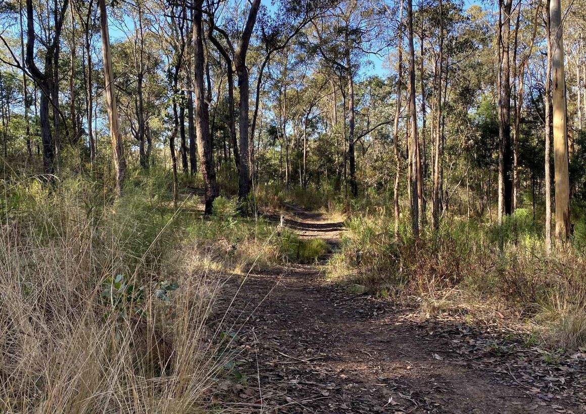
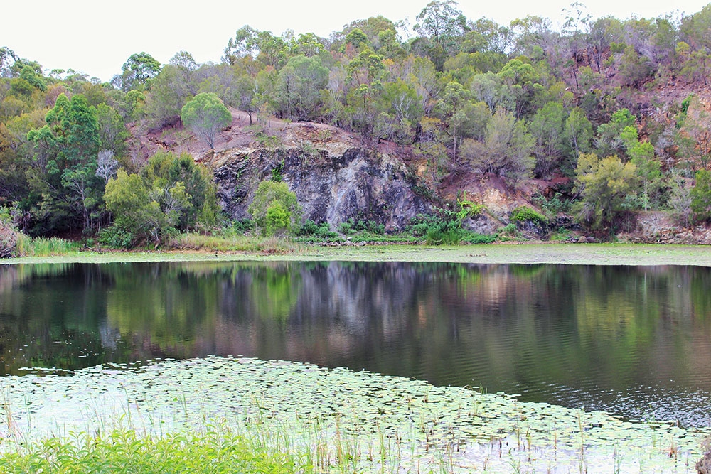
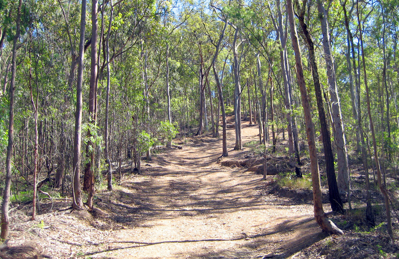
This is a lovely and popular loop to Mount Coot-tha right on the outskirts of Brisbane. The trail is moderate but has small sections of steeper ascent and descent. The track is wide and is also popular with runners. The views near the top over the Brisbane cityscape and the open landscape around are wonderful so are the cockatoo one might meet on the way.

Already more than 200,000 users!
Uphill
250m
Highest point
257m
Downhill
250m
Lowest point
66m
Route type
Loop
Download the map on your smartphone to save battery and rest assured to always keep access to the route, even without signal.
Includes IGN France and Swisstopo.
Parking by J.C. Slaughter Falls Picnic Area at the beginning of the trail.
I indicate whether dogs are allowed or prohibited on this trail
All year
0 ratings
Also enjoy:

Already more than 200,000 users!