Uphill
113m
Length
4km
Duration
1h30min
Elev gain
113m
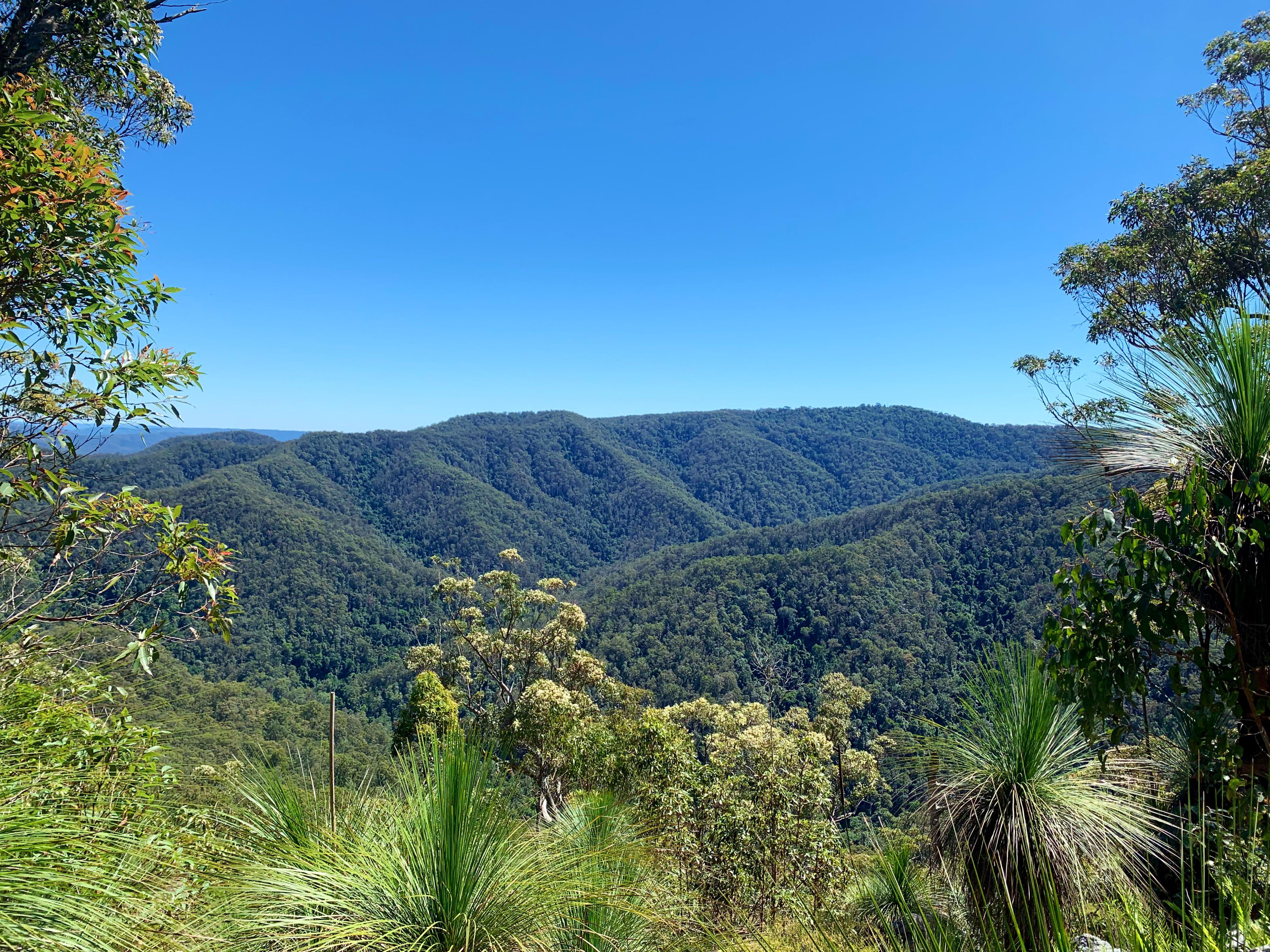
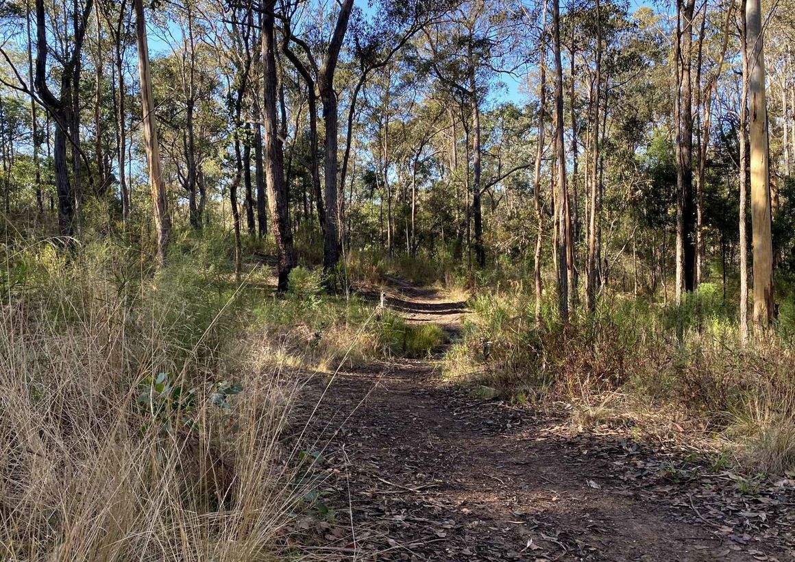
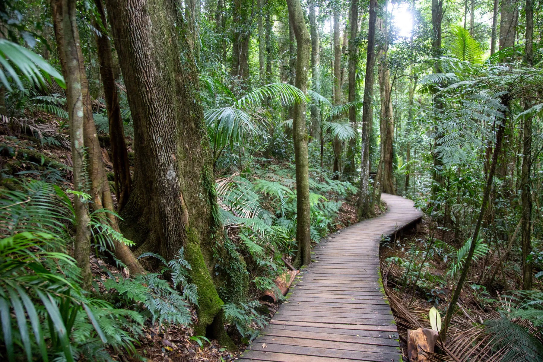
This is a short and easy loop in D’Aguilar National Park near Brisbane under the lush coverage of the rainforest. The walk begins on the Rainforest Circuit to then continue on Greenes Falls Track until the lookout, coming back on itself to finally merge on Cypress Grove track. The trail is easy yet can get a little muddy at times. The views on the falls and the abundant natural life make for a calming and revitalising atmosphere.

Already more than 200,000 users!
Uphill
113m
Highest point
663m
Downhill
113m
Lowest point
576m
Route type
Loop
Download the map on your smartphone to save battery and rest assured to always keep access to the route, even without signal.
Includes IGN France and Swisstopo.
I indicate whether dogs are allowed or prohibited on this trail
Difficult after heavy rains
0 ratings
Also enjoy:

Already more than 200,000 users!