Uphill
504m

Length
8km
Duration
3h30min
Elev gain
504m
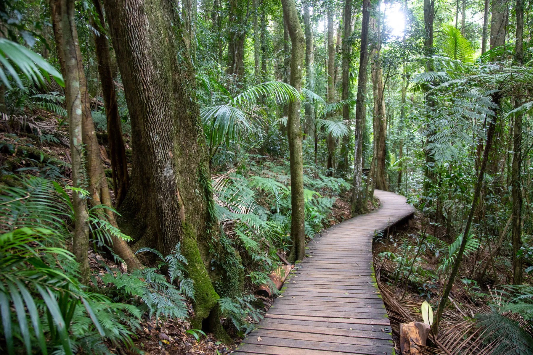
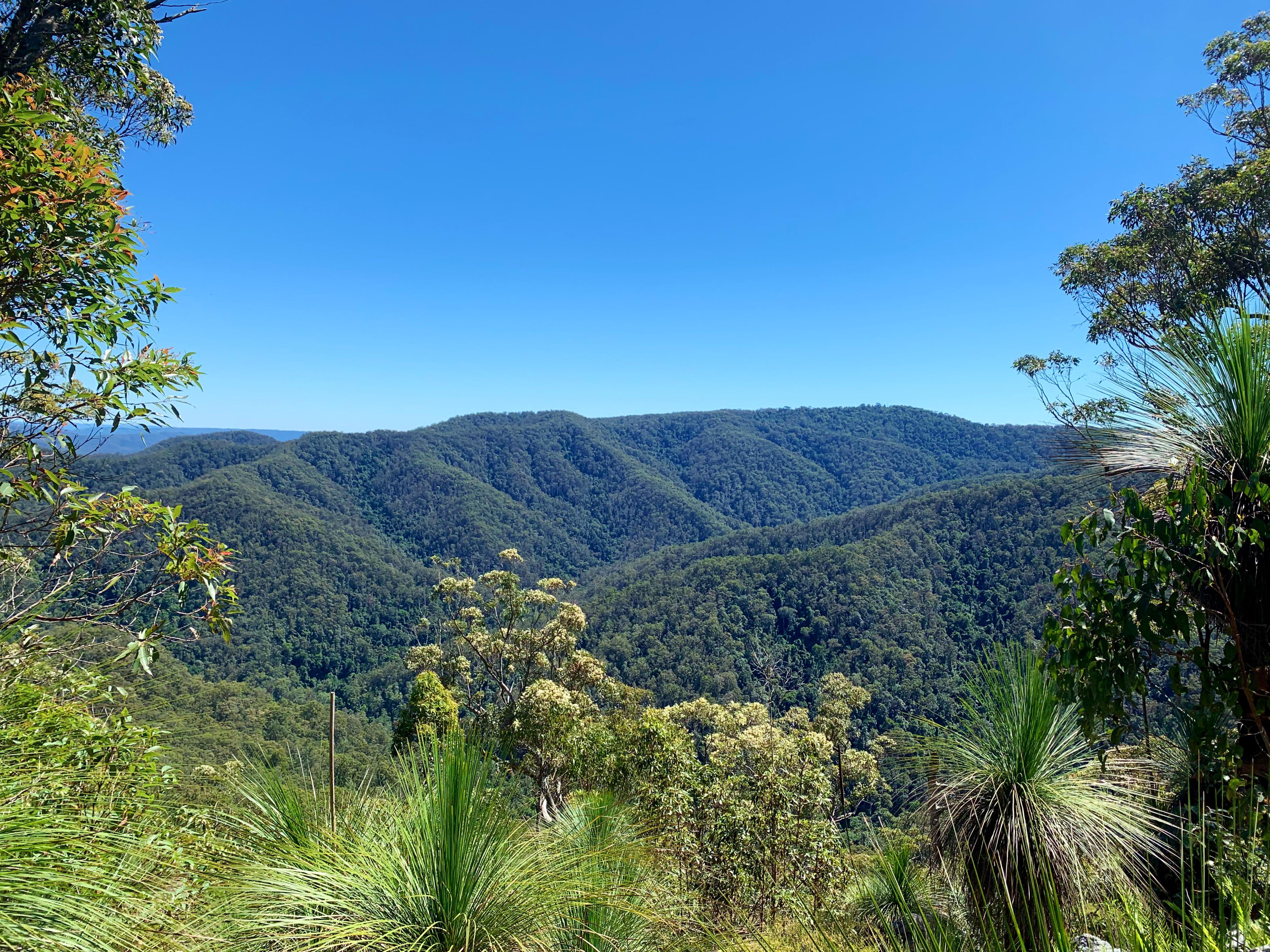
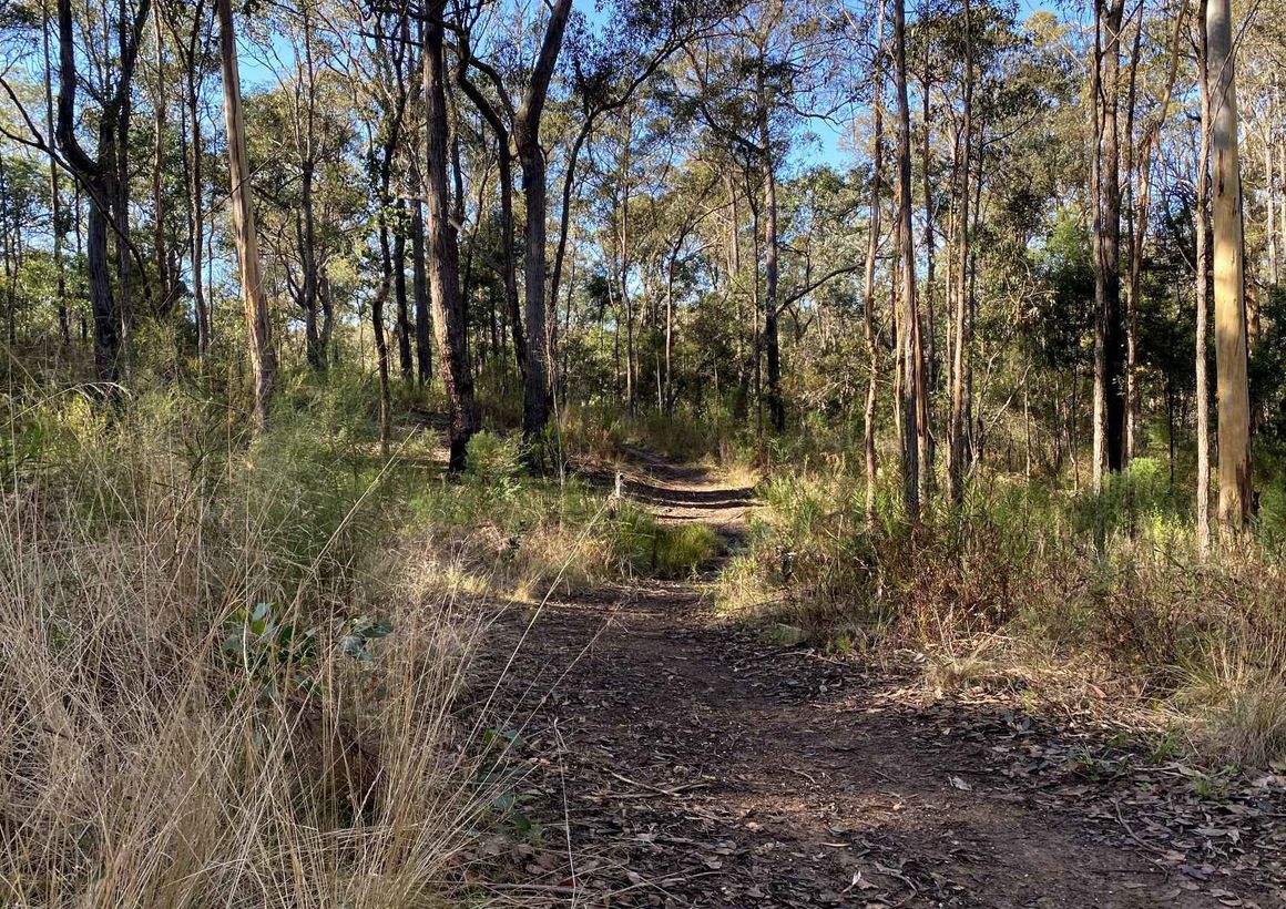
This is a unique there-and-back hike under the thick rainforest canopy to the infamous Pipe Comanche Plane Wreck in D’Aguilar National Park, not far off Brisbane. The trail is not easy to follow and requires good navigation skills in order not to become lost amidst the trees. The lush landscape and vibrant flora and fauna are beautiful and make for a fantastic adventure in the tropical forest.

Already more than 200,000 users!
Uphill
504m
Highest point
752m
Downhill
504m
Lowest point
603m
Route type
There and back
Download the map on your smartphone to save battery and rest assured to always keep access to the route, even without signal.
Includes IGN France and Swisstopo.
I indicate whether dogs are allowed or prohibited on this trail
All year
0 ratings
Also enjoy:

Already more than 200,000 users!