Uphill
411m
Length
9km
Duration
3h30min
Elev gain
411m
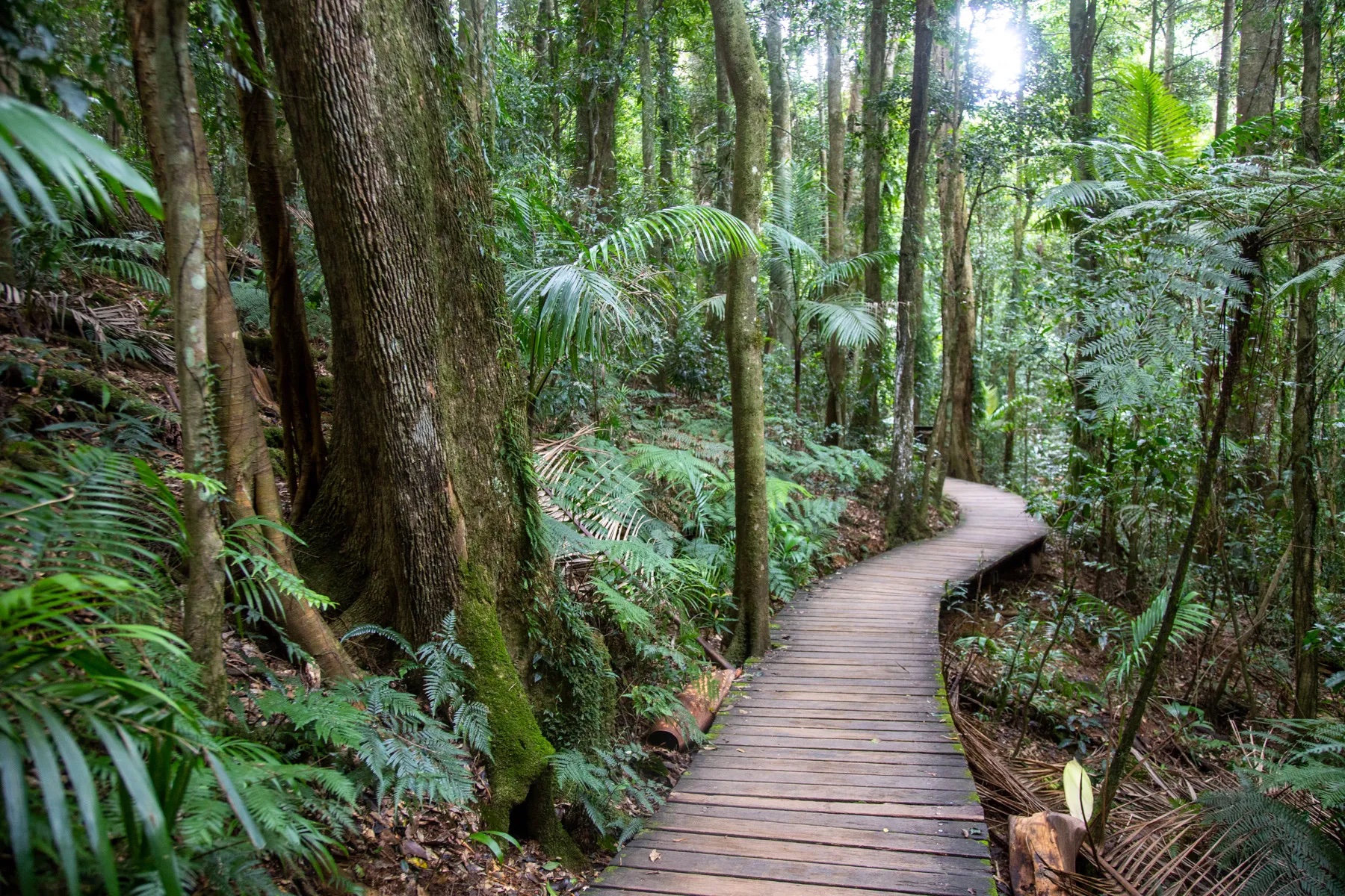
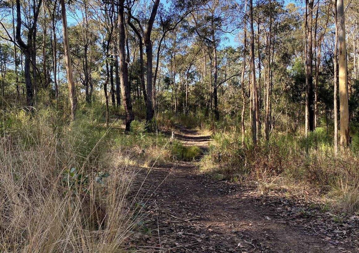
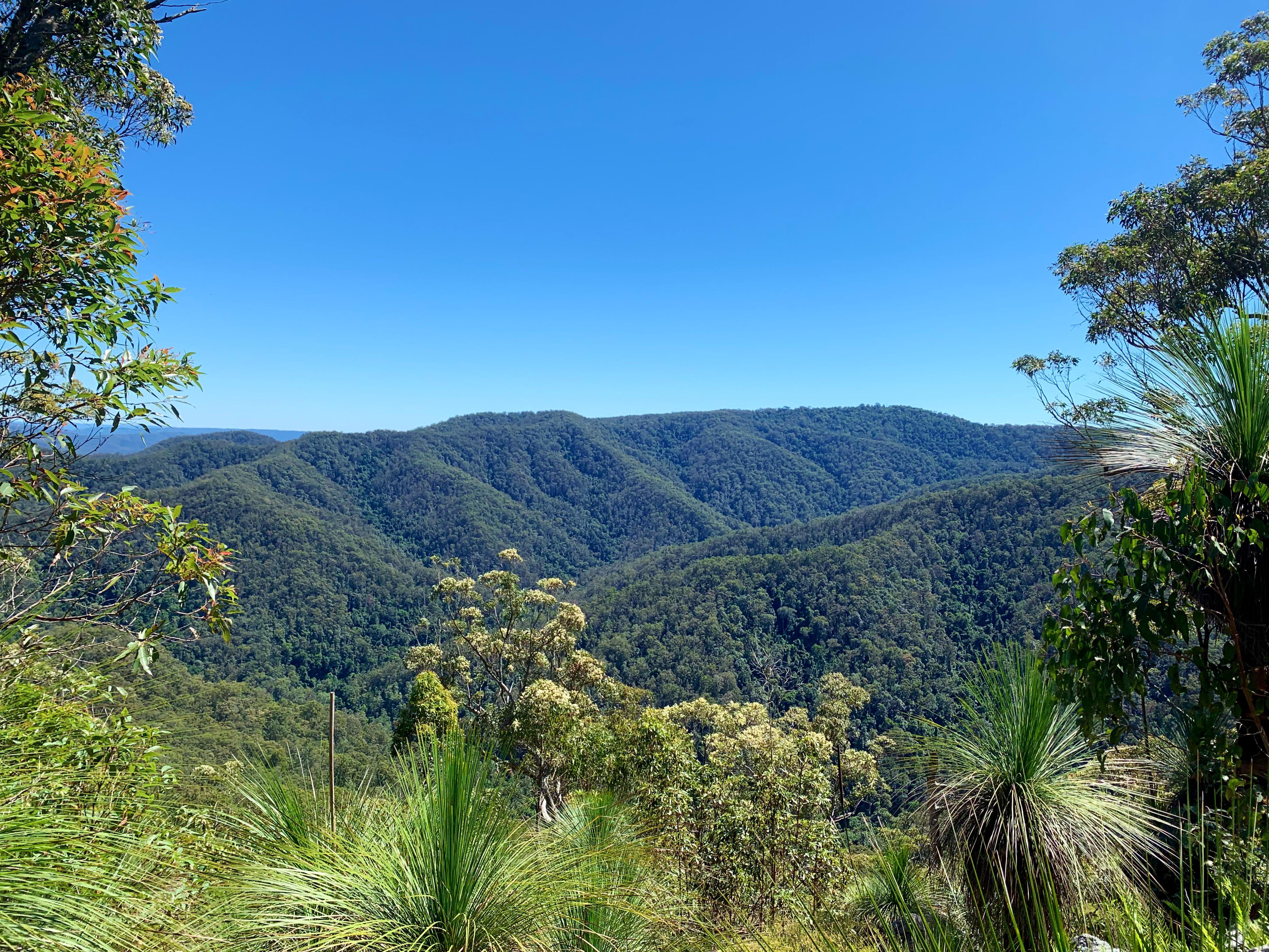
This is a great loop to the Northbrook Mountain Summit in the D’Aguilar National Park, Queensland. The trail follows a relatively wide track in the forest and is comfortable, with a steady gradient. The journey can be done in one day or two if stopping at the Northbrook Mountain Remote Campground. The views along the ridge on Kipper Creek and the surrounding ranges are fantastic.

Already more than 200,000 users!
Uphill
411m
Highest point
709m
Downhill
411m
Lowest point
459m
Route type
Loop
Download the map on your smartphone to save battery and rest assured to always keep access to the route, even without signal.
Includes IGN France and Swisstopo.
I indicate whether dogs are allowed or prohibited on this trail
All year
0 ratings
Also enjoy:

Already more than 200,000 users!