Uphill
308m
Length
3km
Duration
2h
Elev gain
308m
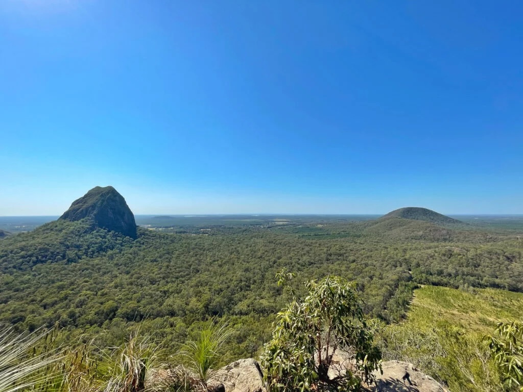
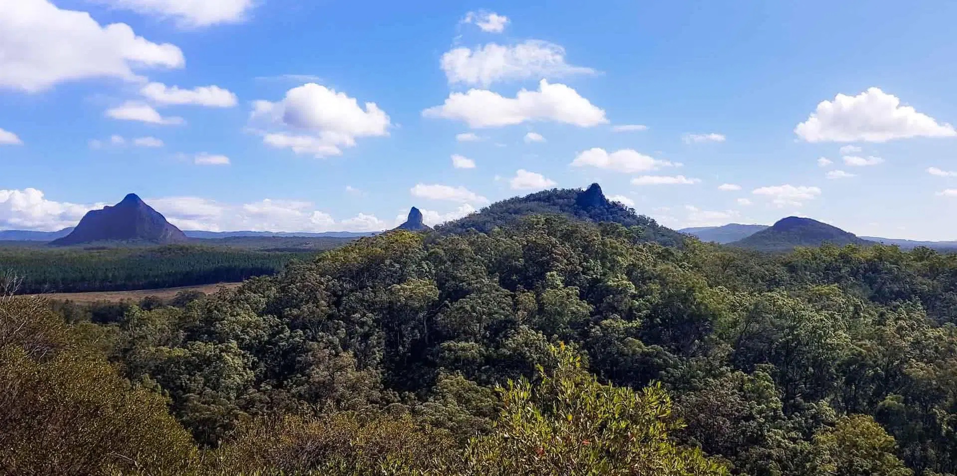
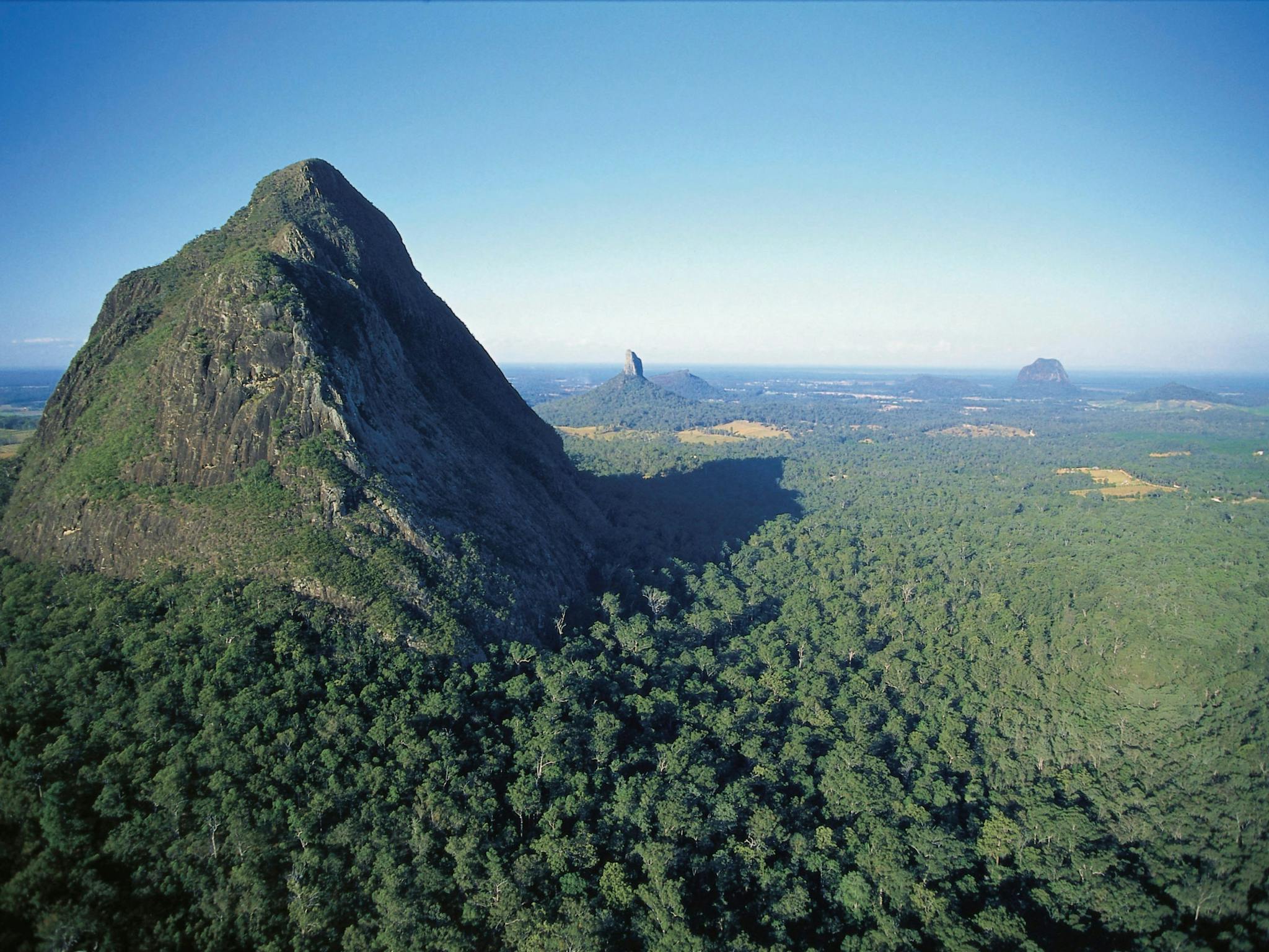
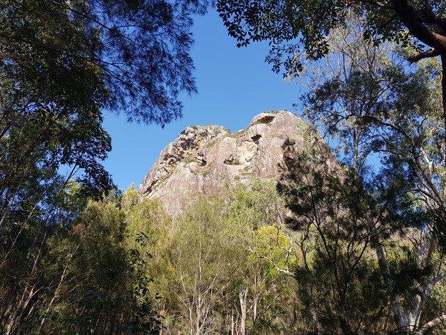
This is a short yet very difficult hike up to the top of Mount Tibrogargan in the Glass House Mountains National Park. The track starts with stairs and leads to a rock face, which is particularly steep and will require hikers to use their hands to climb up to get to Chicken Rock, and carry on with more scrambling on rocks to arrive at the top. The views at the top are spectacular with several peaks standing tall in the distance.
The Jinibara and Kabi Kabi peoples consider Mount Tibrogargan a powerful and sacred site and ask, out of respect for their culture and traditions, people not to climb up the mountain.

Already more than 200,000 users!
Uphill
308m
Highest point
320m
Downhill
308m
Lowest point
34m
Route type
There and back
Download the map on your smartphone to save battery and rest assured to always keep access to the route, even without signal.
Includes IGN France and Swisstopo.
I indicate whether dogs are allowed or prohibited on this trail
All year
1 rating
Also enjoy:

Already more than 200,000 users!